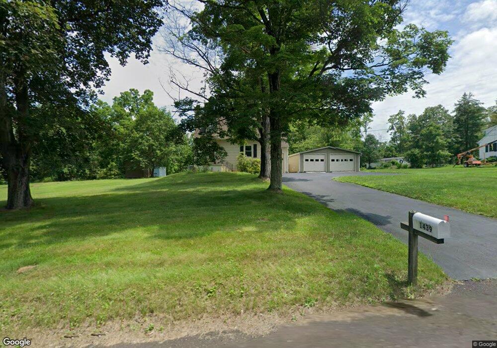
1439 Lower State Rd Doylestown, PA 18901
Estimated Value: $453,000 - $638,000
3
Beds
2
Baths
1,674
Sq Ft
$334/Sq Ft
Est. Value
About This Home
This home is located at 1439 Lower State Rd, Doylestown, PA 18901 and is currently estimated at $558,658, approximately $333 per square foot. 1439 Lower State Rd is a home located in Bucks County with nearby schools including Mill Creek Elementary School, Unami Middle School, and Central Bucks High School - South.
Ownership History
Date
Name
Owned For
Owner Type
Purchase Details
Closed on
Aug 23, 2019
Sold by
Brown Gerald H and Brown Carol K
Bought by
Brown Gerald H
Current Estimated Value
Purchase Details
Closed on
Jul 2, 1987
Sold by
Schuck David and Schuck Elizabeth
Bought by
Brown Gerald H and Brown Carol K
Create a Home Valuation Report for This Property
The Home Valuation Report is an in-depth analysis detailing your home's value as well as a comparison with similar homes in the area
Home Values in the Area
Average Home Value in this Area
Purchase History
| Date | Buyer | Sale Price | Title Company |
|---|---|---|---|
| Brown Gerald H | -- | None Available | |
| Brown Gerald H | $124,000 | -- |
Source: Public Records
Tax History Compared to Growth
Tax History
| Year | Tax Paid | Tax Assessment Tax Assessment Total Assessment is a certain percentage of the fair market value that is determined by local assessors to be the total taxable value of land and additions on the property. | Land | Improvement |
|---|---|---|---|---|
| 2025 | $4,429 | $25,030 | $8,040 | $16,990 |
| 2024 | $4,429 | $25,030 | $8,040 | $16,990 |
| 2023 | $4,224 | $25,030 | $8,040 | $16,990 |
| 2022 | $4,177 | $25,030 | $8,040 | $16,990 |
| 2021 | $4,091 | $25,030 | $8,040 | $16,990 |
| 2020 | $4,072 | $25,030 | $8,040 | $16,990 |
| 2019 | $4,028 | $25,030 | $8,040 | $16,990 |
| 2018 | $4,015 | $25,030 | $8,040 | $16,990 |
| 2017 | $3,984 | $25,030 | $8,040 | $16,990 |
| 2016 | $3,959 | $25,030 | $8,040 | $16,990 |
| 2015 | -- | $26,520 | $8,040 | $18,480 |
| 2014 | -- | $26,520 | $8,040 | $18,480 |
Source: Public Records
Map
Nearby Homes
- 73 Tradesville Dr
- 73 Tradesville Dr Unit 80
- 52 Tradesville Dr Unit 83
- Vetri Plan at Doylestown Walk
- 52 Tradesville Dr
- 2 Mill Creek Dr
- 2 Mill Creek Dr Unit 137
- 1 Mill Creek Dr
- 6 Mill Creek Dr
- 21 Mill Creek Dr Unit 11
- 21 Mill Creek Dr
- 47 Mill Creek Dr Unit 32
- 47 Mill Creek Dr
- 23 Mill Creek Dr
- 25 Mill Creek Dr
- 25 Mill Creek Dr Unit 13
- 20 Woodstone Dr
- 242 Snapdragon St
- 803 Sweet Cherry St
- 1101 Deerfield Ln
- 1451 Lower State Rd
- 1425 Lower State Rd
- 1463 Lower State Rd
- 3279 Bristol Rd
- 1405 Lower State Rd
- 1410 Lower State Rd
- 1485 Lower State Rd
- 1396 Lower State Rd
- 3298 Bristol Rd
- 1497 Lower State Rd
- 1469 Lower State Rd
- 1502 Lower State Rd
- 1467 Lower State Rd
- 3247 Bristol Rd
- 47 Tradesville Dr
- 45 Tradesville Dr
- 45 Tradesville Dr
- 45 Tradesville Dr
- 49 Tradesville Dr
- 43 Tradesville Dr