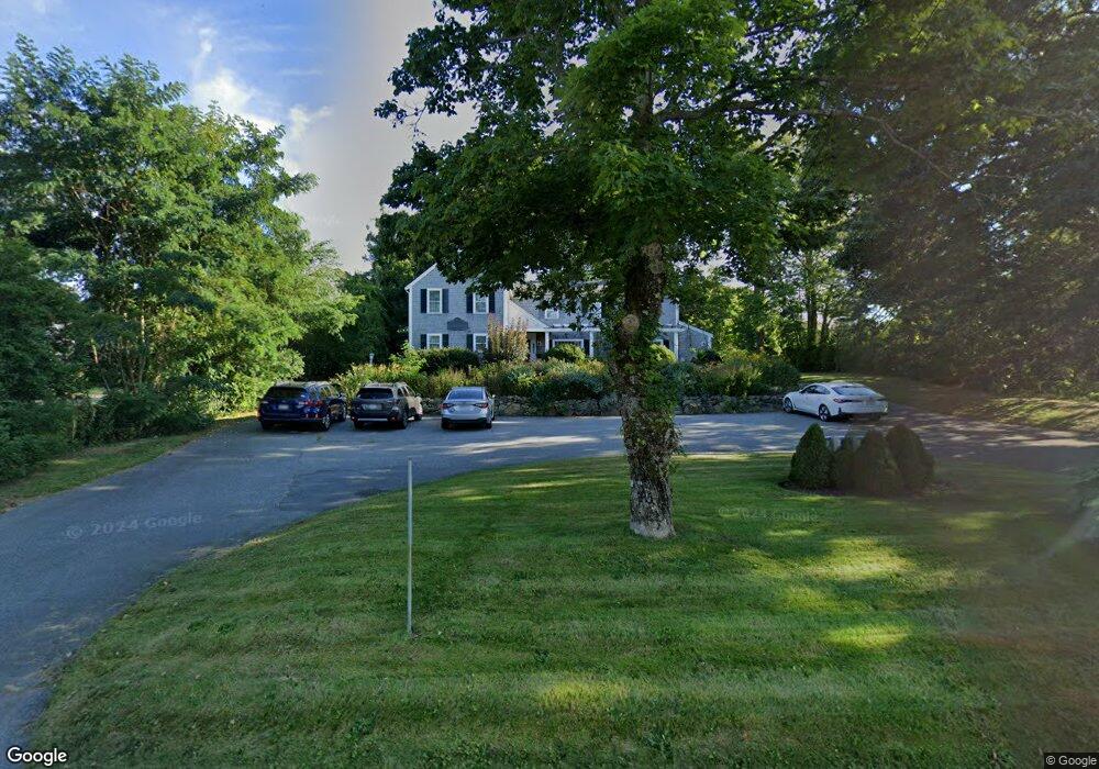
1439 Route 6a South Dennis, MA 02660
East Dennis NeighborhoodEstimated Value: $1,736,000 - $2,609,849
4
Beds
5
Baths
3,820
Sq Ft
$569/Sq Ft
Est. Value
About This Home
This home is located at 1439 Route 6a, South Dennis, MA 02660 and is currently estimated at $2,172,925, approximately $568 per square foot. 1439 Route 6a is a home located in Barnstable County with nearby schools including Dennis-Yarmouth Regional High School and Latham School.
Ownership History
Date
Name
Owned For
Owner Type
Purchase Details
Closed on
Jan 27, 2023
Sold by
Loeffler Sharon
Bought by
Goode James R and Goode Karen E
Current Estimated Value
Purchase Details
Closed on
Mar 25, 2011
Sold by
Northeastern Universit
Bought by
Goode James R and Goode Karen E
Purchase Details
Closed on
Dec 21, 2007
Sold by
Richards Robert
Bought by
Northeastern Universit
Create a Home Valuation Report for This Property
The Home Valuation Report is an in-depth analysis detailing your home's value as well as a comparison with similar homes in the area
Home Values in the Area
Average Home Value in this Area
Purchase History
| Date | Buyer | Sale Price | Title Company |
|---|---|---|---|
| Goode James R | -- | None Available | |
| Loeffler Sharon | -- | None Available | |
| Goode James R | $355,000 | -- | |
| Northeastern Universit | $50,000 | -- |
Source: Public Records
Tax History Compared to Growth
Tax History
| Year | Tax Paid | Tax Assessment Tax Assessment Total Assessment is a certain percentage of the fair market value that is determined by local assessors to be the total taxable value of land and additions on the property. | Land | Improvement |
|---|---|---|---|---|
| 2025 | $9,347 | $2,158,600 | $450,300 | $1,708,300 |
| 2024 | $9,831 | $2,239,300 | $433,000 | $1,806,300 |
| 2023 | $8,879 | $1,901,300 | $393,600 | $1,507,700 |
| 2022 | $8,365 | $1,493,800 | $354,500 | $1,139,300 |
| 2021 | $8,446 | $1,400,600 | $347,600 | $1,053,000 |
| 2020 | $7,892 | $1,293,800 | $337,600 | $956,200 |
| 2019 | $8,046 | $1,304,100 | $361,000 | $943,100 |
| 2018 | $7,441 | $1,173,600 | $343,800 | $829,800 |
| 2017 | $7,041 | $1,144,900 | $315,100 | $829,800 |
| 2016 | $6,951 | $1,064,400 | $358,000 | $706,400 |
| 2015 | $6,812 | $1,064,400 | $358,000 | $706,400 |
| 2014 | $6,481 | $1,020,700 | $315,000 | $705,700 |
Source: Public Records
Map
Nearby Homes
- 153 Sesuit Neck Rd
- 102 Prince Way
- 1376 Bridge St Unit 16
- 12 Paddocks Path
- 1706 Massachusetts 6a Unit 3
- 1706 Route 6a Unit 3
- 20 Paddocks Path
- 18 Wendy Way
- 43 Barque Cir
- 23 Stephen Phillips Rd
- 4 Maureens Way
- 10 Shiverick Rd
- 55 Monument View Rd
- 15 Trudy Cir
- 40 Harbor Rd
- 138 Quivet Dr
- 1146 Massachusetts 134 Unit 4C
- 25 Ronda Ln
- 11 Island Creek Ln
- 831 Main St
- 1439 Massachusetts 6a
- 1411 Massachusetts 6a Unit 21
- 1411 Massachusetts 6a
- 1411 Route 6a
- 1411 Route 6a
- 1447 Main St
- 1447 Route 6a
- 1408 Route 6a
- 1450 Route 6a
- 1420 Route 6a
- 52 Bradford Rd
- 8 Liberty Place
- 1380 Massachusetts 6a Unit 3-C
- 60 Bradford Rd
- 46 Bradford Rd
- 1450 Massachusetts 6a
- 1378 Massachusetts 6a Unit 2-B
- 1389 Route 6a
- 1475 Route 6a
- 1450 Old King's Hwy