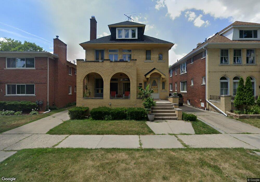
1439 Somerset Ave Unit 1441 Grosse Pointe Park, MI 48230
Estimated Value: $354,940 - $485,000
--
Bed
--
Bath
2,856
Sq Ft
$138/Sq Ft
Est. Value
About This Home
This home is located at 1439 Somerset Ave Unit 1441, Grosse Pointe Park, MI 48230 and is currently estimated at $392,985, approximately $137 per square foot. 1439 Somerset Ave Unit 1441 is a home located in Wayne County with nearby schools including George Defer Elementary School, Pierce Middle School, and Grosse Pointe South High School.
Ownership History
Date
Name
Owned For
Owner Type
Purchase Details
Closed on
Oct 9, 2024
Sold by
Perry Jennifer W
Bought by
Perry Jennifer W and Perry Christine E
Current Estimated Value
Purchase Details
Closed on
Dec 29, 2006
Sold by
Perry Ruth E and Warner Leona S
Bought by
Perry Ruth E and Ruth E Perry Revocable Trust
Create a Home Valuation Report for This Property
The Home Valuation Report is an in-depth analysis detailing your home's value as well as a comparison with similar homes in the area
Home Values in the Area
Average Home Value in this Area
Purchase History
| Date | Buyer | Sale Price | Title Company |
|---|---|---|---|
| Perry Jennifer W | -- | None Listed On Document | |
| Perry Jennifer W | -- | None Listed On Document | |
| Perry Jennifer W | -- | None Listed On Document | |
| Perry Jennifer W | -- | None Listed On Document | |
| Perry Christine E | -- | None Listed On Document | |
| Perry Ruth E | -- | None Available |
Source: Public Records
Tax History Compared to Growth
Tax History
| Year | Tax Paid | Tax Assessment Tax Assessment Total Assessment is a certain percentage of the fair market value that is determined by local assessors to be the total taxable value of land and additions on the property. | Land | Improvement |
|---|---|---|---|---|
| 2025 | $2,424 | $176,300 | $0 | $0 |
| 2024 | $2,424 | $166,600 | $0 | $0 |
| 2023 | $2,315 | $156,900 | $0 | $0 |
| 2022 | $2,199 | $137,900 | $0 | $0 |
| 2021 | $4,989 | $121,100 | $0 | $0 |
| 2019 | $4,987 | $102,700 | $0 | $0 |
| 2018 | $2,097 | $85,900 | $0 | $0 |
| 2017 | $5,778 | $56,300 | $0 | $0 |
| 2016 | $4,905 | $79,400 | $0 | $0 |
| 2015 | $8,310 | $83,100 | $0 | $0 |
| 2013 | -- | $91,100 | $0 | $0 |
| 2012 | $2,164 | $95,600 | $23,100 | $72,500 |
Source: Public Records
Map
Nearby Homes
- 1417 Beaconsfield Ave
- 1451 Beaconsfield Ave
- 15239 Mack Ave
- 3650 Somerset Ave
- 3666 Somerset Ave
- 1306 Beaconsfield Ave Unit 1308
- 3615 Barham St
- 1465 Maryland St
- 3661 Beaconsfield St
- 1254 Beaconsfield Ave
- 1318 Maryland St
- 3900 Somerset Ave
- 1447 Wayburn St
- 3918 Nottingham Rd
- 3651 Buckingham Ave
- 3905 Beaconsfield St
- 1316 Maryland St
- 1449 Wayburn St
- 3911 Beaconsfield St
- 1350 Buckingham Rd
- 1435 Somerset Ave
- 1435 Somerset Ave Unit 1435 Upper
- 1435 Somerset Ave Unit 1437 Loweer
- 1443 Somerset Ave Unit 1445
- 1431 Somerset Ave Unit 1433
- 1447 Somerset Ave
- 1438 Nottingham Rd
- 1427 Somerset Ave Unit 29
- 1434 Nottingham Rd
- 1442 Nottingham Rd
- 1405 Somerset Ave
- 1413 Somerset Ave
- 1446 Nottingham Rd
- 0 Somerset Ave Unit 218044712
- 0 Somerset Ave Unit R216087688
- 0 Somerset Ave Unit G31391744
- 1430 Nottingham Rd
- 1423 Somerset Ave Unit 25
- 1426 Nottingham Rd
- 1428 Somerset Ave Unit Lower Unit