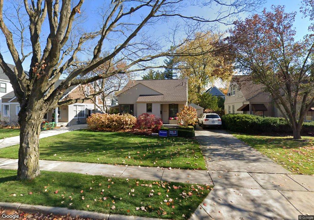
1439 Stanley Blvd Birmingham, MI 48009
Estimated Value: $608,000 - $892,000
4
Beds
2
Baths
1,772
Sq Ft
$417/Sq Ft
Est. Value
About This Home
This home is located at 1439 Stanley Blvd, Birmingham, MI 48009 and is currently estimated at $738,848, approximately $416 per square foot. 1439 Stanley Blvd is a home located in Oakland County with nearby schools including Pierce Elementary School, Derby Middle School, and Ernest W. Seaholm High School.
Ownership History
Date
Name
Owned For
Owner Type
Purchase Details
Closed on
Mar 31, 1997
Sold by
Tripp Terrence M
Bought by
Hight Patricia
Current Estimated Value
Purchase Details
Closed on
Mar 7, 1996
Sold by
Guething Carl T
Bought by
Fuller Terri M
Purchase Details
Closed on
Oct 2, 1995
Sold by
Klintworth Bradley D
Bought by
Tripp Terrence M
Home Financials for this Owner
Home Financials are based on the most recent Mortgage that was taken out on this home.
Original Mortgage
$120,000
Interest Rate
7.61%
Create a Home Valuation Report for This Property
The Home Valuation Report is an in-depth analysis detailing your home's value as well as a comparison with similar homes in the area
Home Values in the Area
Average Home Value in this Area
Purchase History
| Date | Buyer | Sale Price | Title Company |
|---|---|---|---|
| Hight Patricia | $215,000 | -- | |
| Fuller Terri M | $148,000 | -- | |
| Tripp Terrence M | $187,000 | -- |
Source: Public Records
Mortgage History
| Date | Status | Borrower | Loan Amount |
|---|---|---|---|
| Previous Owner | Tripp Terrence M | $120,000 |
Source: Public Records
Tax History Compared to Growth
Tax History
| Year | Tax Paid | Tax Assessment Tax Assessment Total Assessment is a certain percentage of the fair market value that is determined by local assessors to be the total taxable value of land and additions on the property. | Land | Improvement |
|---|---|---|---|---|
| 2024 | $4,715 | $239,050 | $0 | $0 |
| 2023 | $4,518 | $227,030 | $0 | $0 |
| 2022 | $4,845 | $213,780 | $0 | $0 |
| 2021 | $4,888 | $208,450 | $0 | $0 |
| 2020 | $4,355 | $199,380 | $0 | $0 |
| 2019 | $4,929 | $192,990 | $0 | $0 |
| 2018 | $4,891 | $186,200 | $0 | $0 |
| 2017 | $4,883 | $183,980 | $0 | $0 |
| 2016 | $4,892 | $174,990 | $0 | $0 |
| 2015 | -- | $161,540 | $0 | $0 |
| 2014 | -- | $135,320 | $0 | $0 |
| 2011 | -- | $102,420 | $0 | $0 |
Source: Public Records
Map
Nearby Homes
- 1323 Washington Blvd
- 1626 Maryland Blvd
- 1748 Stanley Blvd
- 1723 Birmingham Blvd
- 1541 Shipman Blvd
- 1419 Henrietta St
- 1205 S Bates St
- 591 Wallace St
- 1886 Henrietta St
- 532 Wallace St
- 776 W Lincoln St
- 1850 Shipman Blvd
- 955 S Bates St
- 1978 Henrietta St
- 875 S Bates St
- 16975 W Fourteen Mile Rd
- 730 Wallace St
- 350 Catalpa Dr
- 1992 Shipman Blvd
- 150 Bird Ave Unit 20
- 1421 Stanley Blvd
- 1453 Stanley Blvd
- 1465 Stanley Blvd
- 1407 Stanley Blvd
- 1436 Washington Blvd
- 1460 Washington Blvd
- 1418 Washington Blvd
- 1479 Stanley Blvd
- 1470 Washington Blvd
- 1410 Washington Blvd
- 1412 Stanley Blvd
- 1482 Washington Blvd
- 1497 Stanley Blvd
- 1428 Stanley Blvd
- 1444 Stanley Blvd
- 1456 Stanley Blvd
- 1391 Stanley Blvd
- 1390 Washington Blvd
- 1472 Stanley Blvd
- 1511 Stanley Blvd