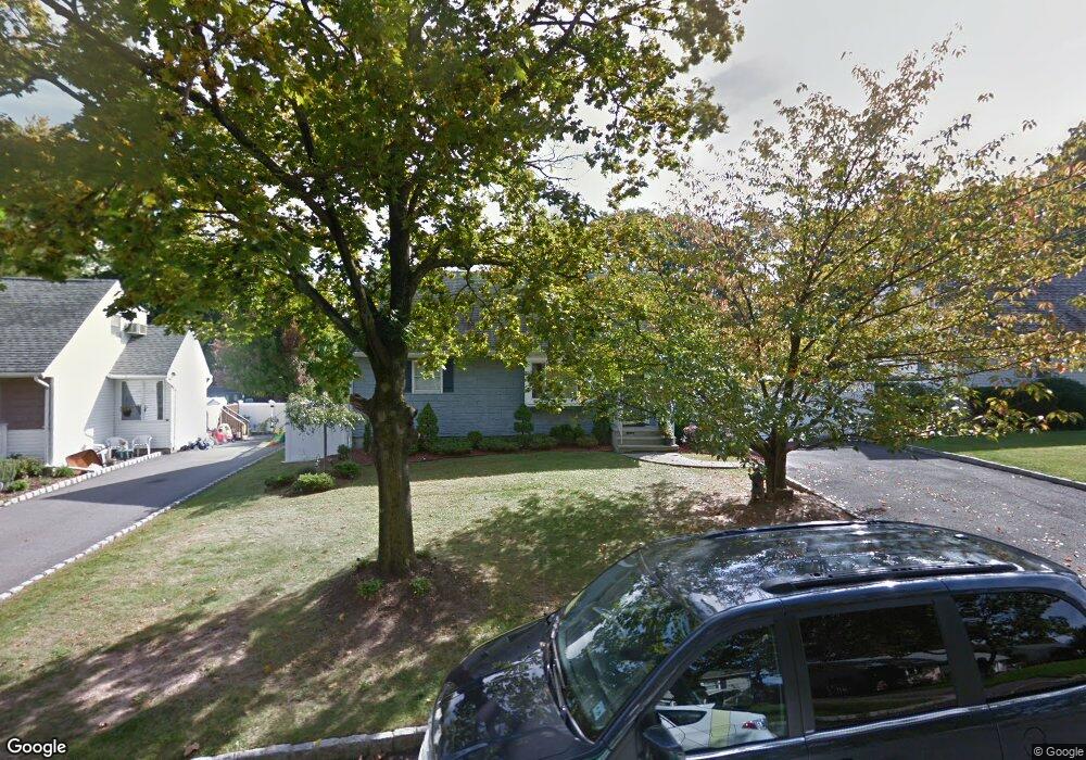
144 Anderson Pkwy Cedar Grove, NJ 07009
Estimated Value: $587,333 - $657,000
--
Bed
--
Bath
1,368
Sq Ft
$450/Sq Ft
Est. Value
About This Home
This home is located at 144 Anderson Pkwy, Cedar Grove, NJ 07009 and is currently estimated at $615,083, approximately $449 per square foot. 144 Anderson Pkwy is a home located in Essex County with nearby schools including Cedar Grove High School, Monarch Montessori School, and St Catherine Of Siena School.
Ownership History
Date
Name
Owned For
Owner Type
Purchase Details
Closed on
Dec 5, 2006
Sold by
Pelusio Paul
Bought by
Albanese Angelo and Albanese Christine
Current Estimated Value
Home Financials for this Owner
Home Financials are based on the most recent Mortgage that was taken out on this home.
Original Mortgage
$275,000
Outstanding Balance
$162,862
Interest Rate
6.14%
Mortgage Type
New Conventional
Estimated Equity
$452,221
Purchase Details
Closed on
Dec 24, 1997
Sold by
Rooney Karen
Bought by
Pelusio Paul and Pelusio Erin
Home Financials for this Owner
Home Financials are based on the most recent Mortgage that was taken out on this home.
Original Mortgage
$163,000
Interest Rate
7.02%
Create a Home Valuation Report for This Property
The Home Valuation Report is an in-depth analysis detailing your home's value as well as a comparison with similar homes in the area
Home Values in the Area
Average Home Value in this Area
Purchase History
| Date | Buyer | Sale Price | Title Company |
|---|---|---|---|
| Albanese Angelo | $390,000 | -- | |
| Pelusio Paul | $172,000 | -- |
Source: Public Records
Mortgage History
| Date | Status | Borrower | Loan Amount |
|---|---|---|---|
| Open | Albanese Angelo | $275,000 | |
| Previous Owner | Pelusio Paul | $163,000 |
Source: Public Records
Tax History Compared to Growth
Tax History
| Year | Tax Paid | Tax Assessment Tax Assessment Total Assessment is a certain percentage of the fair market value that is determined by local assessors to be the total taxable value of land and additions on the property. | Land | Improvement |
|---|---|---|---|---|
| 2025 | $9,268 | $355,100 | $202,800 | $152,300 |
| 2024 | $9,268 | $355,100 | $202,800 | $152,300 |
| 2022 | $9,105 | $355,100 | $202,800 | $152,300 |
| 2021 | $8,995 | $355,100 | $202,800 | $152,300 |
| 2020 | $9,126 | $355,100 | $202,800 | $152,300 |
| 2019 | $8,917 | $355,100 | $202,800 | $152,300 |
| 2018 | $8,508 | $355,100 | $202,800 | $152,300 |
| 2017 | $8,416 | $355,100 | $202,800 | $152,300 |
| 2016 | $8,157 | $355,100 | $202,800 | $152,300 |
| 2015 | $7,968 | $355,100 | $202,800 | $152,300 |
| 2014 | $7,805 | $355,100 | $202,800 | $152,300 |
Source: Public Records
Map
Nearby Homes
- 120 Anderson Pkwy
- 26 Chestnut Ct
- 1 Chestnut Ct
- 31 Chestnut Ct Unit 16
- 505 Holly Ln
- 806 Holly Ln
- 911 Holly Ln Unit 11
- 911 Holly Ln
- 157 1st Ave
- 185 Wilmore Rd
- 857 Pompton Ave
- 215 Eileen Dr
- 207 Eileen Dr
- 84 Center Ave
- 90 Jacobus Ave
- 303 Abbe Rd
- 7 Mountain Ridge Dr Unit 4B
- 47 1st Ave
- 85 Francisco Ave
- 151 Little Falls Rd
- 140 Anderson Pkwy
- 148 Anderson Pkwy
- 136 Anderson Pkwy
- 152 Anderson Pkwy
- 141 Anderson Pkwy
- 145 Anderson Pkwy
- 135 Anderson Pkwy
- 156 Anderson Pkwy
- 132 Anderson Pkwy
- 149 Anderson Pkwy
- 129 Anderson Pkwy
- 128 Anderson Pkwy
- 160 Anderson Pkwy
- 153 Anderson Pkwy
- 123 Anderson Pkwy
- 92 Carlson Pkwy
- 88 Carlson Pkwy
- 124 Anderson Pkwy
- 164 Anderson Pkwy
- 157 Anderson Pkwy