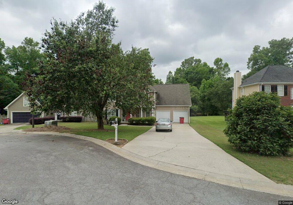
144 Ashford Trace Ln Macon, GA 31210
Estimated Value: $256,641 - $278,000
4
Beds
3
Baths
2,034
Sq Ft
$132/Sq Ft
Est. Value
About This Home
This home is located at 144 Ashford Trace Ln, Macon, GA 31210 and is currently estimated at $268,160, approximately $131 per square foot. 144 Ashford Trace Ln is a home located in Bibb County with nearby schools including Carter Elementary School, Howard Middle School, and Howard High School.
Ownership History
Date
Name
Owned For
Owner Type
Purchase Details
Closed on
May 23, 2008
Sold by
Patel Arvindbhai K
Bought by
Patel Arvindbhai K and Patel Vimlaben A
Current Estimated Value
Home Financials for this Owner
Home Financials are based on the most recent Mortgage that was taken out on this home.
Original Mortgage
$128,000
Outstanding Balance
$80,977
Interest Rate
5.86%
Mortgage Type
Unknown
Estimated Equity
$187,183
Purchase Details
Closed on
Jun 12, 2000
Bought by
Patel Dipesh R and Patel Alpa D
Purchase Details
Closed on
Apr 30, 1998
Create a Home Valuation Report for This Property
The Home Valuation Report is an in-depth analysis detailing your home's value as well as a comparison with similar homes in the area
Home Values in the Area
Average Home Value in this Area
Purchase History
| Date | Buyer | Sale Price | Title Company |
|---|---|---|---|
| Patel Arvindbhai K | -- | None Available | |
| Patel Arvindbhai K | $160,000 | None Available | |
| Patel Dipesh R | $146,500 | -- | |
| -- | $142,000 | -- |
Source: Public Records
Mortgage History
| Date | Status | Borrower | Loan Amount |
|---|---|---|---|
| Open | Patel Arvindbhai K | $128,000 |
Source: Public Records
Tax History Compared to Growth
Tax History
| Year | Tax Paid | Tax Assessment Tax Assessment Total Assessment is a certain percentage of the fair market value that is determined by local assessors to be the total taxable value of land and additions on the property. | Land | Improvement |
|---|---|---|---|---|
| 2024 | $1,891 | $81,442 | $12,000 | $69,442 |
| 2023 | $1,433 | $81,442 | $12,000 | $69,442 |
| 2022 | $2,147 | $69,011 | $8,800 | $60,211 |
| 2021 | $2,018 | $60,116 | $8,000 | $52,116 |
| 2020 | $2,062 | $60,116 | $8,000 | $52,116 |
| 2019 | $2,079 | $60,116 | $8,000 | $52,116 |
| 2018 | $3,364 | $60,116 | $8,000 | $52,116 |
| 2017 | $1,738 | $53,378 | $8,000 | $45,378 |
| 2016 | $1,605 | $53,378 | $8,000 | $45,378 |
| 2015 | $2,395 | $55,899 | $8,000 | $47,899 |
| 2014 | $2,070 | $51,109 | $8,000 | $43,109 |
Source: Public Records
Map
Nearby Homes
- 149 Ashford Trace Ln
- 180 Autumn Trace Ct
- 103 Hanover Place
- 108 Clarendon Ct
- 131 Ashford Park
- 106 Trillium Terrace
- 824 N Confederate Dr
- 200 Stone Edge Rd
- 1137 N Plantation Pkwy
- 879 N Confederate Dr
- 363 Jefferson Park Dr
- 235 Jefferson Park Dr
- 900 S Plantation Pkwy
- 260 Edgewater Dr
- 1069 Greentree Pkwy
- 1087 Greentree Pkwy
- 378 Fox Tail Dr
- 140 Ashford Trace Ln
- 148 Ashford Trace Ln
- 0 Ashford Trace Ln Unit 7147428
- 0 Ashford Trace Ln Unit 7325177
- 136 Ashford Trace Ln
- 231 Autumn Trace Ct
- 225 Autumn Trace Ct
- 152 Ashford Trace Ln
- 152 Ashford Trace Ln Unit 32
- 221 Autumn Trace Ct
- 139 Ashford Trace Ln
- 132 Ashford Trace Ln
- 135 Ashford Trace Ln
- 215 Autumn Trace Ct
- 243 Autumn Trace Ct
- 156 Ashford Trace Ln
- 143 Ashford Trace Ln
- 131 Ashford Trace Ln
- 211 Autumn Trace Ct
- 128 Ashford Trace Ln