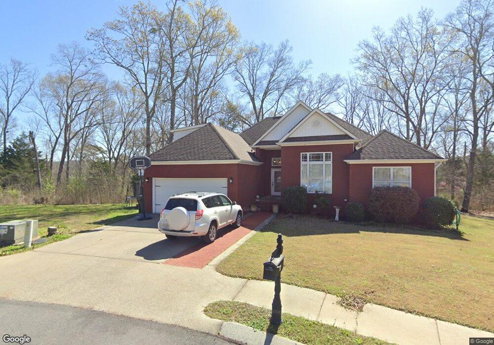
144 Battle Farm Ct Rock Spring, GA 30739
Rock Spring NeighborhoodEstimated Value: $260,379 - $340,000
--
Bed
2
Baths
1,404
Sq Ft
$202/Sq Ft
Est. Value
About This Home
This home is located at 144 Battle Farm Ct, Rock Spring, GA 30739 and is currently estimated at $283,845, approximately $202 per square foot. 144 Battle Farm Ct is a home located in Walker County with nearby schools including Lafayette High School and Oakwood Christian Academy.
Ownership History
Date
Name
Owned For
Owner Type
Purchase Details
Closed on
Nov 26, 2007
Sold by
Not Provided
Bought by
Sprayberry Nancy Coleen
Current Estimated Value
Home Financials for this Owner
Home Financials are based on the most recent Mortgage that was taken out on this home.
Original Mortgage
$82,500
Outstanding Balance
$52,192
Interest Rate
6.29%
Mortgage Type
New Conventional
Estimated Equity
$231,653
Purchase Details
Closed on
Jul 18, 2007
Sold by
Not Provided
Bought by
Sprayberry Nancy Coleen
Create a Home Valuation Report for This Property
The Home Valuation Report is an in-depth analysis detailing your home's value as well as a comparison with similar homes in the area
Home Values in the Area
Average Home Value in this Area
Purchase History
| Date | Buyer | Sale Price | Title Company |
|---|---|---|---|
| Sprayberry Nancy Coleen | $147,500 | -- | |
| Sprayberry Nancy Coleen | $147,500 | -- | |
| Sprayberry Nancy Coleen | $173,000 | -- |
Source: Public Records
Mortgage History
| Date | Status | Borrower | Loan Amount |
|---|---|---|---|
| Open | Sprayberry Nancy Coleen | $82,500 | |
| Closed | Sprayberry Nancy Coleen | $82,500 |
Source: Public Records
Tax History Compared to Growth
Tax History
| Year | Tax Paid | Tax Assessment Tax Assessment Total Assessment is a certain percentage of the fair market value that is determined by local assessors to be the total taxable value of land and additions on the property. | Land | Improvement |
|---|---|---|---|---|
| 2024 | $197 | $105,385 | $0 | $105,385 |
| 2023 | $990 | $112,926 | $0 | $112,926 |
| 2022 | $747 | $97,002 | $0 | $97,002 |
| 2021 | $1,851 | $68,521 | $0 | $68,521 |
| 2020 | $1,502 | $53,029 | $0 | $53,029 |
| 2019 | $1,503 | $52,057 | $0 | $52,057 |
| 2018 | $1,377 | $52,057 | $0 | $52,057 |
| 2017 | $1,647 | $52,057 | $0 | $52,057 |
| 2016 | $1,404 | $52,057 | $0 | $52,057 |
| 2015 | $1,422 | $49,600 | $0 | $49,600 |
| 2014 | $1,316 | $49,600 | $0 | $49,600 |
| 2013 | -- | $49,600 | $0 | $49,600 |
Source: Public Records
Map
Nearby Homes
- 124 Fieldstone Commons
- 200 Hunting Ridge Cir
- 103 Deer Ridge Ln
- 28 Cobblestone Trail
- 149 Stone Throw Ln
- 135 Stone Throw Ln
- 74 Sycamore Dr
- 269 Quartz Dr
- 283 Quartz Dr
- 44 Bending Oak Dr
- 190 Sycamore Dr
- 162 Bending Oak Dr
- 54 Cedar Farm Ln
- 918 Old Lafayette Rd
- 680 Glass Mill Rd
- 1121 Arnold Rd
- 183 Long Hollow Rd
- 788 Long Hollow Rd
- 294 E Long Hollow Rd
- 1476 Arnold Rd
- 104 Battle Farm Ct Unit F/LT3
- 136 Battle Farm Ct
- 104 Battle Farm Ct
- 112 Battle Farm Ct
- 120 Battle Farm Ct
- 128 Battle Farm Ct
- 137 Battle Farm Ct
- 151 Battle Farm Ct
- 104 Battlefarm Ct Unit F/LT3
- 112 Battlefarm Ct
- 136 Battlefarm Ct
- 104 Battlefarm Ct
- 128 Battlefarm Ct
- 120 Battlefarm Ct
- 144 Battlefarm Ct
- 158 Battle Dr
- 146 Fieldstone Commons
- 146 Fieldstone Village Dr
- 1 Battle Farm Ct
- 140 Fieldstone Commons