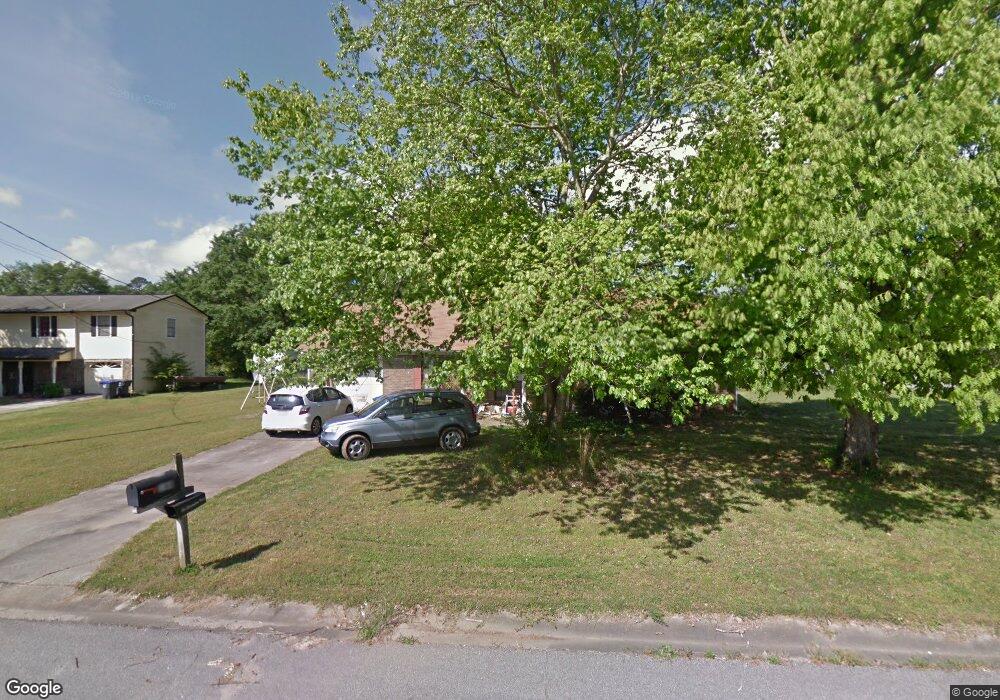
144 Bluegrass Dr Alabaster, AL 35007
Estimated Value: $190,455 - $257,000
Studio
1
Bath
1,389
Sq Ft
$162/Sq Ft
Est. Value
About This Home
This home is located at 144 Bluegrass Dr, Alabaster, AL 35007 and is currently estimated at $224,614, approximately $161 per square foot. 144 Bluegrass Dr is a home located in Shelby County with nearby schools including Thompson Intermediate School, Thompson Middle School, and Thompson High School.
Ownership History
Date
Name
Owned For
Owner Type
Purchase Details
Closed on
Jan 6, 2023
Sold by
Tudor Enterprises Inc
Bought by
Lonestar Holdings Llc
Current Estimated Value
Purchase Details
Closed on
Sep 15, 2022
Sold by
Frances Spann Jeanne
Bought by
Tudor Enterprises Inc
Purchase Details
Closed on
Feb 10, 2006
Sold by
Carden Charlotte A
Bought by
Spann Jeanne Frances
Home Financials for this Owner
Home Financials are based on the most recent Mortgage that was taken out on this home.
Original Mortgage
$124,000
Interest Rate
6.14%
Mortgage Type
VA
Create a Home Valuation Report for This Property
The Home Valuation Report is an in-depth analysis detailing your home's value as well as a comparison with similar homes in the area
Home Values in the Area
Average Home Value in this Area
Purchase History
| Date | Buyer | Sale Price | Title Company |
|---|---|---|---|
| Lonestar Holdings Llc | $112,214 | -- | |
| Tudor Enterprises Inc | $112,214 | -- | |
| Spann Jeanne Frances | $124,000 | None Available |
Source: Public Records
Mortgage History
| Date | Status | Borrower | Loan Amount |
|---|---|---|---|
| Previous Owner | Spann Jeanne Frances | $124,000 |
Source: Public Records
Tax History
| Year | Tax Paid | Tax Assessment Tax Assessment Total Assessment is a certain percentage of the fair market value that is determined by local assessors to be the total taxable value of land and additions on the property. | Land | Improvement |
|---|---|---|---|---|
| 2024 | $2,134 | $39,520 | $0 | $0 |
| 2023 | $2,109 | $39,060 | $0 | $0 |
| 2022 | $0 | $17,580 | $0 | $0 |
| 2021 | $0 | $15,160 | $0 | $0 |
| 2020 | $0 | $14,000 | $0 | $0 |
| 2019 | $0 | $12,900 | $0 | $0 |
| 2017 | $0 | $11,520 | $0 | $0 |
| 2015 | -- | $11,140 | $0 | $0 |
| 2014 | -- | $10,980 | $0 | $0 |
Source: Public Records
Map
Nearby Homes
- 144 Palm Dr
- 116 Palm Dr
- 1531 Applegate Ln
- 1557 Applegate Ln
- 120 Sterling Gate Dr
- 521 13th St SW
- 316 Sterling Manor Cir
- 217 Kensington Ln
- 10589 Highway 119
- 280 Cedar Grove Pkwy
- 412 10th St SW
- 309 Cedar Grove Ct
- 305 Cedar Grove Ct
- 537 Ramsgate Dr
- 549 Ramsgate Dr
- 545 Ramsgate Dr
- 1639 Caribbean Cir
- 208 10th St SW
- 544 Ramsgate Dr
- 164 Kentwood Dr
- 148 Bluegrass Dr
- 140 Bluegrass Dr
- 145 Bluegrass Dr
- 152 Bluegrass Dr
- 153 Bluegrass Dr
- 149 Bluegrass Dr
- 141 Bluegrass Dr
- 136 Bluegrass Dr
- 137 Bluegrass Dr
- 132 Bluegrass Dr
- 226 Summer Hill Dr
- 220 Summer Hill Dr
- 230 Summer Hill Dr
- 145 Mangrove Dr
- 133 Bluegrass Dr
- 147 Mangrove Dr
- 238 Summer Hill Dr
- 242 Summer Hill Dr
- 128 Bluegrass Dr
- 141 Mangrove Dr
Your Personal Tour Guide
Ask me questions while you tour the home.