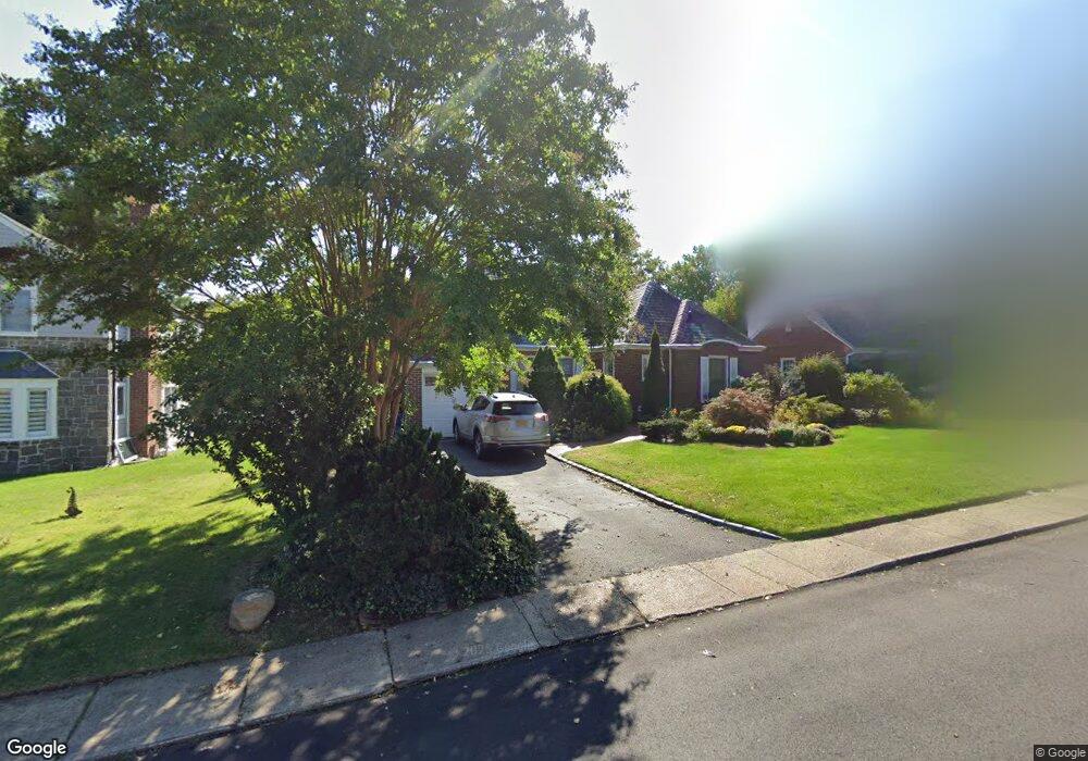
144 Bourndale Rd N Manhasset, NY 11030
Estimated Value: $1,807,000 - $1,932,114
3
Beds
3
Baths
2,068
Sq Ft
$904/Sq Ft
Est. Value
About This Home
This home is located at 144 Bourndale Rd N, Manhasset, NY 11030 and is currently estimated at $1,869,557, approximately $904 per square foot. 144 Bourndale Rd N is a home located in Nassau County with nearby schools including Manhasset Secondary School, St Mary's Elementary School, and Our Lady of Grace Montessori School.
Ownership History
Date
Name
Owned For
Owner Type
Purchase Details
Closed on
Dec 23, 2015
Sold by
Maurischat Christopher
Bought by
The Lory Hsiang Trust Agreement Dated 01 and The Peter J Hsiang Trust
Current Estimated Value
Purchase Details
Closed on
Dec 27, 2012
Sold by
Maurischat Hans and Maurishat Erika
Bought by
Maurischatt Christopher
Purchase Details
Closed on
Sep 29, 2009
Sold by
Orlins Marie
Bought by
Maurischat Hans and Maurischat Erika
Purchase Details
Closed on
Apr 11, 2002
Sold by
Broderick Michael T
Bought by
Orlins Marie
Create a Home Valuation Report for This Property
The Home Valuation Report is an in-depth analysis detailing your home's value as well as a comparison with similar homes in the area
Home Values in the Area
Average Home Value in this Area
Purchase History
| Date | Buyer | Sale Price | Title Company |
|---|---|---|---|
| The Lory Hsiang Trust Agreement Dated 01 | $1,100,000 | First National Title Insuran | |
| The Lory Hsiang Trust Agreement Dated 01 | $1,100,000 | First National Title Insuran | |
| The Lory Hsiang Trust Agreement Dated 01 | $1,100,000 | First National Title Insuran | |
| Maurischatt Christopher | -- | -- | |
| Maurischatt Christopher | -- | -- | |
| Maurischatt Christopher | -- | -- | |
| Maurischat Hans | $955,000 | -- | |
| Maurischat Hans | $955,000 | -- | |
| Maurischat Hans | $955,000 | -- | |
| Orlins Marie | $789,000 | Robert Jewell | |
| Orlins Marie | $789,000 | Robert Jewell |
Source: Public Records
Mortgage History
| Date | Status | Borrower | Loan Amount |
|---|---|---|---|
| Closed | The Lory Hsiang Trust Agreement Dated 01 | $0 |
Source: Public Records
Tax History
| Year | Tax Paid | Tax Assessment Tax Assessment Total Assessment is a certain percentage of the fair market value that is determined by local assessors to be the total taxable value of land and additions on the property. | Land | Improvement |
|---|---|---|---|---|
| 2025 | $19,425 | $1,279 | $648 | $631 |
| 2024 | $5,476 | $1,279 | $648 | $631 |
| 2023 | $18,499 | $1,279 | $648 | $631 |
| 2022 | $18,499 | $1,276 | $604 | $672 |
| 2021 | $16,106 | $1,274 | $603 | $671 |
| 2020 | $18,595 | $1,960 | $1,446 | $514 |
| 2019 | $17,831 | $2,195 | $1,619 | $576 |
| 2018 | $18,901 | $2,195 | $0 | $0 |
| 2017 | $12,008 | $2,195 | $1,619 | $576 |
| 2016 | $17,429 | $2,195 | $1,619 | $576 |
| 2015 | $5,160 | $2,195 | $1,619 | $576 |
| 2014 | $5,160 | $2,195 | $1,619 | $576 |
| 2013 | $4,920 | $2,195 | $1,619 | $576 |
Source: Public Records
Map
Nearby Homes
- 15 Gaynor Ave Unit 2H
- 64 Plandome Ct
- 88 Plandome Ct
- 4 Kimson Ct
- 71 Beechwood Ave
- 54 Summit Dr
- 305 Nassau Ave
- 38 Mason Dr
- 145 Shore Rd
- 44 North Dr
- 1054 Plandome Rd
- 44 Old ox Rd
- 2 Stonytown Rd
- 42 Mora Ct
- 1270 Plandome Rd
- 539 Manhasset Woods Rd
- 59 Colonial Dr
- 53 Stuart Place
- 30 Bonnie Heights Rd
- 80 Clapham Ave
- 138 Bourndale Rd N
- 152 N Bourndale Rd
- 99 Bourndale Rd S
- 158 Bourndale Rd N
- 151 Bourndale Rd N
- 143 Bourndale Rd N
- 137 Bourndale Rd N
- 105 Bourndale Rd S
- 81 Bourndale Rd S
- 166 Bourndale Rd N
- 126 Bourndale Rd N
- 131 Bournedale Rd
- 111 Bourndale Rd S
- 75 Bourndale Rd S
- 155 Bourndale Rd N
- 131 Bourndale Rd N
- 125 Bourndale Rd N
- 125 Bourndale Rd N
Your Personal Tour Guide
Ask me questions while you tour the home.