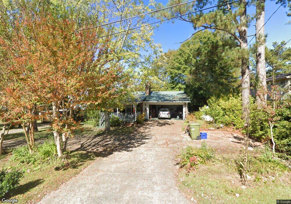
144 Carroll Cir Carrollton, GA 30117
Estimated Value: $233,573 - $275,000
3
Beds
2
Baths
1,561
Sq Ft
$160/Sq Ft
Est. Value
About This Home
This home is located at 144 Carroll Cir, Carrollton, GA 30117 and is currently estimated at $249,643, approximately $159 per square foot. 144 Carroll Cir is a home located in Carroll County with nearby schools including Carrollton Elementary School, Carrollton Upper Elementary School, and Carrollton Middle School.
Ownership History
Date
Name
Owned For
Owner Type
Purchase Details
Closed on
Oct 13, 2005
Sold by
Crook Ann Morris
Bought by
Crook Susan F
Current Estimated Value
Purchase Details
Closed on
Apr 1, 1992
Sold by
Crook Roger A and Crook Tony W
Bought by
Crook Crook W and Crook Susan
Purchase Details
Closed on
Aug 1, 1989
Sold by
Crook Roger Alus and Crook Annie W
Bought by
Crook Roger A and Crook Tony W
Purchase Details
Closed on
Dec 15, 1972
Sold by
Dixie Hills Enter
Bought by
Crook Roger Alus and Crook Annie W
Create a Home Valuation Report for This Property
The Home Valuation Report is an in-depth analysis detailing your home's value as well as a comparison with similar homes in the area
Home Values in the Area
Average Home Value in this Area
Purchase History
| Date | Buyer | Sale Price | Title Company |
|---|---|---|---|
| Crook Susan F | -- | -- | |
| Crook Crook W | -- | -- | |
| Crook Roger A | -- | -- | |
| Crook Roger Alus | $24,800 | -- |
Source: Public Records
Tax History Compared to Growth
Tax History
| Year | Tax Paid | Tax Assessment Tax Assessment Total Assessment is a certain percentage of the fair market value that is determined by local assessors to be the total taxable value of land and additions on the property. | Land | Improvement |
|---|---|---|---|---|
| 2024 | $485 | $81,947 | $6,000 | $75,947 |
| 2023 | $468 | $75,354 | $6,000 | $69,354 |
| 2022 | $452 | $61,879 | $6,000 | $55,879 |
| 2021 | $418 | $54,332 | $6,000 | $48,332 |
| 2020 | $395 | $48,976 | $6,000 | $42,976 |
| 2019 | $392 | $46,130 | $6,000 | $40,130 |
| 2018 | $396 | $44,112 | $6,000 | $38,112 |
| 2017 | $391 | $42,001 | $6,000 | $36,001 |
| 2016 | $1,129 | $42,001 | $6,000 | $36,001 |
| 2015 | $964 | $35,902 | $6,000 | $29,903 |
| 2014 | $968 | $35,903 | $6,000 | $29,903 |
Source: Public Records
Map
Nearby Homes
- 0 Carroll Cir Unit LOTS 4-8 10571562
- 403 Burns Rd
- 150 Cedar Park Way
- 0 Burns Rd Unit LOT 2 10571612
- 0 Burns Rd Unit LOT 3 10571635
- 0 Burns Rd Unit LOT 1 10571595
- 0 Burns Rd Unit 148013
- 204 Burns Rd
- 0 Carroll Cir- Lots 4-8 Unit 148012
- 3 Burns Rd
- 2 Burns Rd
- 114 Green Point Way
- 223 N Lakeshore Dr
- 231 N Lakeshore Dr
- 325 Almon Rd
- 8 Horsley Mill Rd
- 119 Oxford Square
- 9 Horsley Mill Rd
- 123 Autumn Glen Dr
- 208 Lane Dr
- 146 Carroll Cir Unit 6
- 146 Carroll Cir
- 136 Carroll Cir
- 134 Carroll Cir
- 124 Carroll Cir
- 126 Carroll Cir
- 148 Carroll Cir
- 145 Carroll Cir
- 147 Carroll Cir
- 122 Carroll Cir
- 143 Carroll Cir
- 149 Carroll Cir
- 120 Carroll Cir
- 150 Carroll Cir
- 131 Carroll Cir
- 137 Carroll Cir
- 137 Carroll Cir
- 135 Carroll Cir
- 133 Carroll Cir
- 113 Leigh Ln