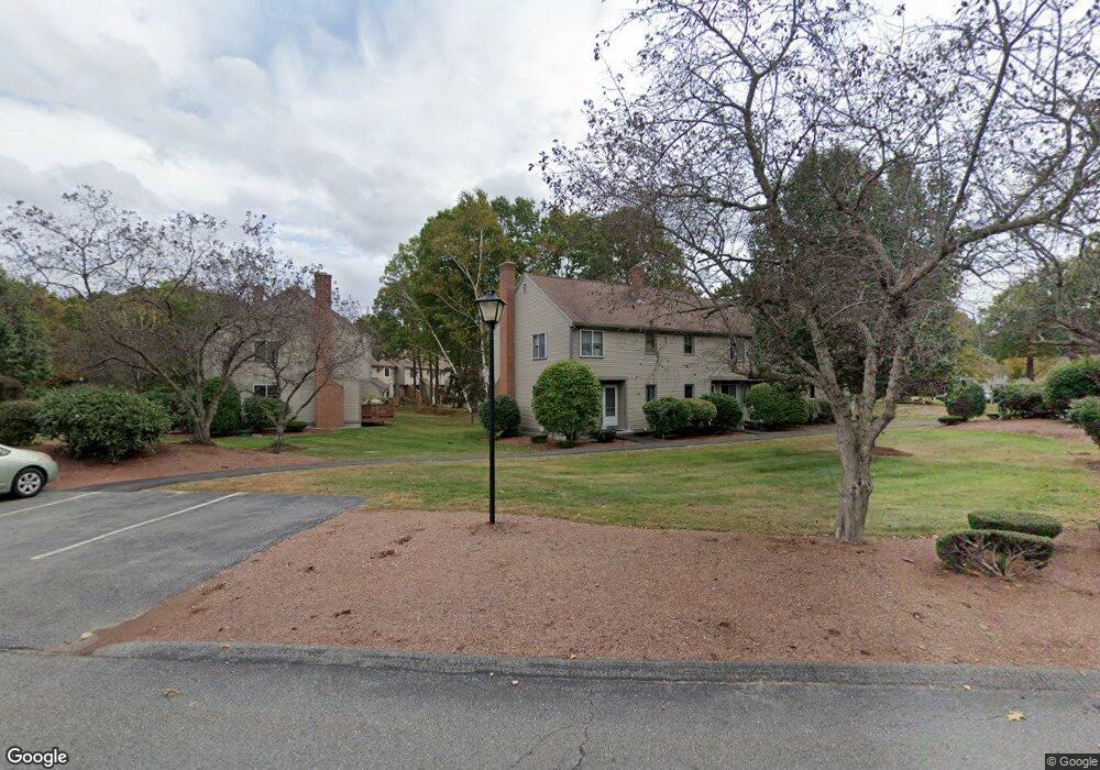
144 Cortland Cir Leominster, MA 01453
Estimated Value: $316,706 - $333,000
2
Beds
2
Baths
1,058
Sq Ft
$309/Sq Ft
Est. Value
About This Home
This home is located at 144 Cortland Cir, Leominster, MA 01453 and is currently estimated at $327,427, approximately $309 per square foot. 144 Cortland Cir is a home located in Worcester County with nearby schools including Leominster High School, St. Anna Catholic School, and St. Leo School.
Ownership History
Date
Name
Owned For
Owner Type
Purchase Details
Closed on
Apr 28, 2000
Sold by
Block John W
Bought by
Block Michael K and Block Kenneth M
Current Estimated Value
Home Financials for this Owner
Home Financials are based on the most recent Mortgage that was taken out on this home.
Original Mortgage
$51,200
Interest Rate
8.23%
Mortgage Type
Purchase Money Mortgage
Purchase Details
Closed on
Jul 2, 1992
Sold by
Federal Home Loan Mortgage Corporation
Bought by
Block John W
Home Financials for this Owner
Home Financials are based on the most recent Mortgage that was taken out on this home.
Original Mortgage
$55,770
Interest Rate
8.49%
Mortgage Type
Purchase Money Mortgage
Purchase Details
Closed on
Jan 23, 1992
Sold by
Gorton Gary A
Bought by
Peoples Sb
Create a Home Valuation Report for This Property
The Home Valuation Report is an in-depth analysis detailing your home's value as well as a comparison with similar homes in the area
Home Values in the Area
Average Home Value in this Area
Purchase History
| Date | Buyer | Sale Price | Title Company |
|---|---|---|---|
| Block Michael K | $64,000 | -- | |
| Block John W | $58,710 | -- | |
| Peoples Sb | $71,733 | -- |
Source: Public Records
Mortgage History
| Date | Status | Borrower | Loan Amount |
|---|---|---|---|
| Open | Peoples Sb | $89,000 | |
| Closed | Peoples Sb | $97,500 | |
| Closed | Peoples Sb | $51,200 | |
| Previous Owner | Peoples Sb | $55,770 |
Source: Public Records
Tax History Compared to Growth
Tax History
| Year | Tax Paid | Tax Assessment Tax Assessment Total Assessment is a certain percentage of the fair market value that is determined by local assessors to be the total taxable value of land and additions on the property. | Land | Improvement |
|---|---|---|---|---|
| 2025 | $3,545 | $252,700 | $0 | $252,700 |
| 2024 | $3,497 | $241,000 | $0 | $241,000 |
| 2023 | $3,327 | $214,100 | $0 | $214,100 |
| 2022 | $2,898 | $175,000 | $0 | $175,000 |
| 2021 | $3,102 | $171,100 | $0 | $171,100 |
| 2020 | $2,906 | $161,600 | $0 | $161,600 |
| 2019 | $2,508 | $135,300 | $0 | $135,300 |
| 2018 | $2,573 | $133,100 | $0 | $133,100 |
| 2017 | $2,496 | $126,500 | $0 | $126,500 |
| 2016 | $2,399 | $122,500 | $0 | $122,500 |
| 2015 | $2,381 | $122,500 | $0 | $122,500 |
| 2014 | $2,395 | $126,800 | $0 | $126,800 |
Source: Public Records
Map
Nearby Homes
- 498 Lancaster St
- 17 1st Ave
- 6 Longwood Ave
- 14 Florence St
- 851 Lancaster St
- 77 Vezina St
- 31 Johnson St
- 49 Meadow Pond Dr Unit C
- 49 Meadow Pond Dr Unit I
- 36 Meadow Pond Dr Unit I
- 740 Central St Unit R24
- 740 Central St Unit L22
- 59 Webber St
- 556 Central St Unit 43
- 556 Central St Unit 39
- 284 Mechanic St
- 30 Abbey Rd Unit 207
- 10 Abbey Rd Unit 108
- 30 Abbey Rd Unit 202
- 10 Abbey Rd Unit 205
- 148 Cortland Cir
- 148 Cortland Cir Unit 148
- 150 Cortland Cir
- 146 Cortland Cir
- 146 Cortland Cir Unit 146
- 146 Cortland Cir Unit 146 146
- 142 Cortland Cir
- 140 Cortland Cir
- 138 Cortland Cir
- 136 Cortland Cir
- 136 Cortland Cir Unit 136
- 138 Cortland Cir
- 136 Cortland Cir Unit 53
- 134 Cortland Cir
- 132 Cortland Cir
- 130 Cortland Cir
- 128 Cortland Cir
- 126 Cortland Cir
- 124 Cortland Cir
- 124 Cortland Cir Unit 124