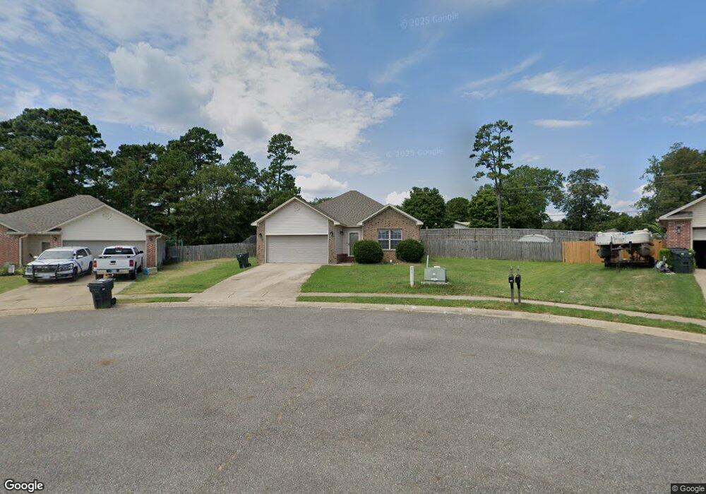
144 Durham Loop Hot Springs National Park, AR 71913
Rockwell NeighborhoodEstimated Value: $226,771 - $270,000
--
Bed
2
Baths
1,420
Sq Ft
$178/Sq Ft
Est. Value
About This Home
This home is located at 144 Durham Loop, Hot Springs National Park, AR 71913 and is currently estimated at $252,943, approximately $178 per square foot. 144 Durham Loop is a home located in Garland County with nearby schools including Lake Hamilton Primary School, Lake Hamilton Elementary School, and Lake Hamilton Interm. School.
Ownership History
Date
Name
Owned For
Owner Type
Purchase Details
Closed on
Nov 20, 2009
Sold by
Stephens Baker Development Inc
Bought by
Gunn Sean J and Gunn Tiffany L
Current Estimated Value
Home Financials for this Owner
Home Financials are based on the most recent Mortgage that was taken out on this home.
Original Mortgage
$139,693
Outstanding Balance
$90,887
Interest Rate
4.93%
Estimated Equity
$162,056
Create a Home Valuation Report for This Property
The Home Valuation Report is an in-depth analysis detailing your home's value as well as a comparison with similar homes in the area
Home Values in the Area
Average Home Value in this Area
Purchase History
| Date | Buyer | Sale Price | Title Company |
|---|---|---|---|
| Gunn Sean J | $140,000 | Hot Springs Title Co Inc |
Source: Public Records
Mortgage History
| Date | Status | Borrower | Loan Amount |
|---|---|---|---|
| Open | Gunn Sean J | $139,693 |
Source: Public Records
Tax History Compared to Growth
Tax History
| Year | Tax Paid | Tax Assessment Tax Assessment Total Assessment is a certain percentage of the fair market value that is determined by local assessors to be the total taxable value of land and additions on the property. | Land | Improvement |
|---|---|---|---|---|
| 2025 | $817 | $39,380 | $2,500 | $36,880 |
| 2024 | $840 | $39,380 | $2,500 | $36,880 |
| 2023 | $857 | $39,380 | $2,500 | $36,880 |
| 2022 | $1,898 | $39,380 | $2,500 | $36,880 |
| 2021 | $1,836 | $26,600 | $1,880 | $24,720 |
| 2020 | $1,461 | $26,600 | $1,880 | $24,720 |
| 2019 | $801 | $26,600 | $1,880 | $24,720 |
| 2018 | $1,426 | $26,600 | $1,880 | $24,720 |
| 2017 | $826 | $26,600 | $1,880 | $24,720 |
| 2016 | $1,429 | $26,670 | $1,880 | $24,790 |
| 2015 | $829 | $26,670 | $1,880 | $24,790 |
| 2014 | $828 | $26,670 | $1,880 | $24,790 |
Source: Public Records
Map
Nearby Homes
- 265 Durham Loop
- 185 Bledsoe Cir
- 110 Big Oak Trail
- 217 Cambridge Dr
- 117 Gregory Dr
- 112 Bluebird Ln
- 102 Winchester Point
- 119 Bluebird Ln
- 2325 Marion Anderson Rd
- 215 Gregory Dr
- 116 Brookdell Place
- X Woody Creek Ct
- XXXX Woody Creek Ct
- XX Woody Creek Ct
- 109 Copper Mountain Loop
- 105 Lu Juan Point
- 109 Wild Dogwood Trail
- 227 Remington Terrace
- 199 Chinook Dr
- 256 Morphew Rd
- 146 Durham Loop
- 142 Durham Loop
- 150 Durham Loop
- 701 Marion Anderson Rd
- 156 Durham Loop
- 147 Durham Loop
- 139 Durham Loop
- 101 Bledsoe Cir
- 134 Durham Loop
- 157 Durham Loop
- 135 Durham Loop
- 160 Durham Loop
- 161 Durham Loop
- 687 Marion Anderson Rd
- 103 Bledsoe Cir
- 108 Derby Shire Place
- 106 Bledsoe Cir
- 108 Derbyshire Place
- 735 Marion Anderson Rd
- 164 Durham Loop