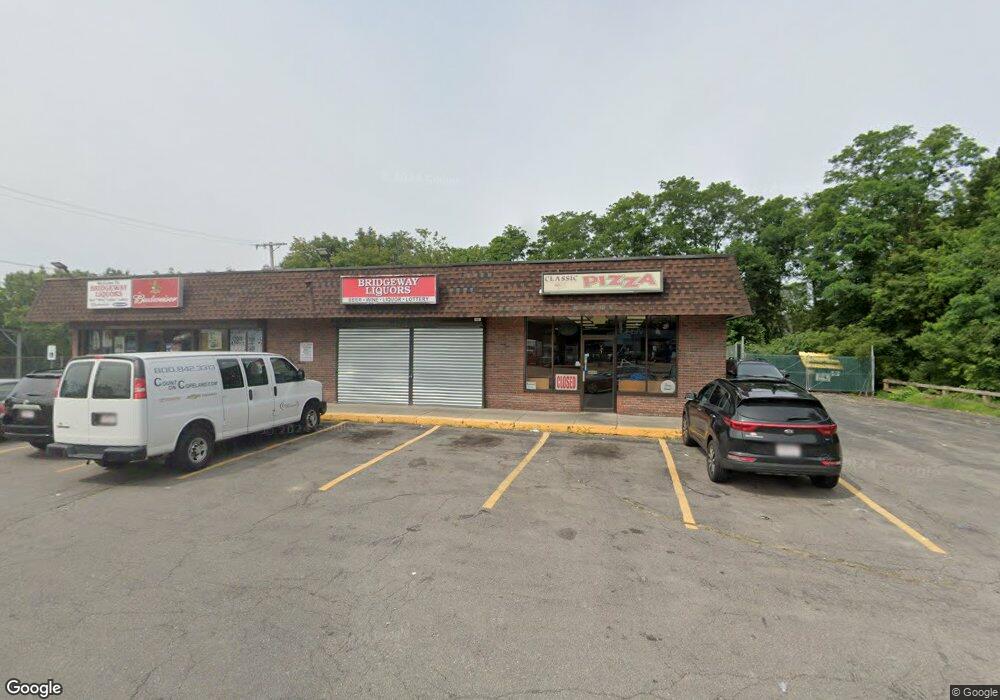
144 Howard St Brockton, MA 02302
Montello NeighborhoodEstimated Value: $1,381,659
--
Bed
1
Bath
4,800
Sq Ft
$288/Sq Ft
Est. Value
About This Home
This home is located at 144 Howard St, Brockton, MA 02302 and is currently estimated at $1,381,659, approximately $287 per square foot. 144 Howard St is a home located in Plymouth County with nearby schools including Brookfield Elementary School, Mary E. Baker Elementary School, and Downey Elementary School.
Ownership History
Date
Name
Owned For
Owner Type
Purchase Details
Closed on
Nov 22, 2005
Sold by
Lemac Llc
Bought by
Gill Malkiat Singh and Singh Joginder
Current Estimated Value
Home Financials for this Owner
Home Financials are based on the most recent Mortgage that was taken out on this home.
Original Mortgage
$415,000
Outstanding Balance
$227,803
Interest Rate
6.07%
Mortgage Type
Commercial
Estimated Equity
$1,153,856
Purchase Details
Closed on
Mar 1, 2004
Sold by
Lmd Rt
Bought by
Lemac Llc
Create a Home Valuation Report for This Property
The Home Valuation Report is an in-depth analysis detailing your home's value as well as a comparison with similar homes in the area
Home Values in the Area
Average Home Value in this Area
Purchase History
| Date | Buyer | Sale Price | Title Company |
|---|---|---|---|
| Gill Malkiat Singh | $750,000 | -- | |
| Gill Malkiat Singh | $750,000 | -- | |
| Lemac Llc | -- | -- | |
| Lemac Llc | -- | -- |
Source: Public Records
Mortgage History
| Date | Status | Borrower | Loan Amount |
|---|---|---|---|
| Open | Lemac Llc | $415,000 | |
| Closed | Lemac Llc | $415,000 |
Source: Public Records
Tax History Compared to Growth
Tax History
| Year | Tax Paid | Tax Assessment Tax Assessment Total Assessment is a certain percentage of the fair market value that is determined by local assessors to be the total taxable value of land and additions on the property. | Land | Improvement |
|---|---|---|---|---|
| 2025 | $10,481 | $433,100 | $145,000 | $288,100 |
| 2024 | $10,416 | $433,100 | $145,000 | $288,100 |
| 2023 | $10,244 | $393,700 | $117,300 | $276,400 |
| 2022 | $10,074 | $357,500 | $117,300 | $240,200 |
| 2021 | $10,122 | $341,500 | $111,700 | $229,800 |
| 2020 | $10,385 | $341,500 | $107,000 | $234,500 |
| 2019 | $10,353 | $326,900 | $107,000 | $219,900 |
| 2018 | $10,637 | $320,100 | $107,000 | $213,100 |
| 2017 | $10,327 | $313,500 | $107,000 | $206,500 |
| 2016 | $9,798 | $306,000 | $107,110 | $198,890 |
| 2015 | $10,367 | $306,000 | $107,110 | $198,890 |
| 2014 | $10,392 | $306,000 | $107,110 | $198,890 |
Source: Public Records
Map
Nearby Homes
- 5 Winter St Unit 2
- 5 Winter St
- 12 Winter St
- 12 Winter St Unit 1st
- 176 Howard St
- 20 Winter St
- 171 Howard St
- 180 Howard St
- 28 Merritt Ave
- 184 Howard St
- 201 Spark St
- 34 Merritt Ave
- 25 Winter St
- 27 Winter St Unit 2
- 188 Howard St
- 190 Howard St
- 42 Merritt Ave
- 191 Howard St
- 21 Merritt Ave
- 25 Merritt Ave(dead End St)