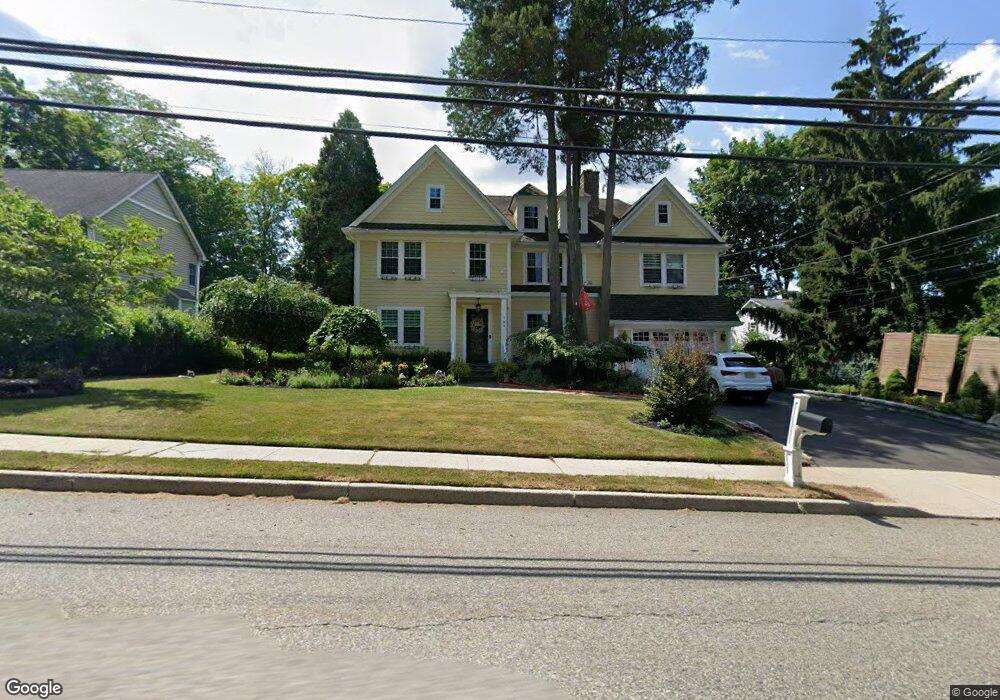
144 Miller Rd Mahwah, NJ 07430
Estimated Value: $877,000 - $1,178,000
--
Bed
--
Bath
2,760
Sq Ft
$361/Sq Ft
Est. Value
About This Home
This home is located at 144 Miller Rd, Mahwah, NJ 07430 and is currently estimated at $996,466, approximately $361 per square foot. 144 Miller Rd is a home located in Bergen County with nearby schools including Mahwah High School.
Ownership History
Date
Name
Owned For
Owner Type
Purchase Details
Closed on
Dec 12, 2009
Sold by
Derrig Walter J and Derrig Stephanie A
Bought by
Vassilatos Marie A and Vassilatos Teddy P
Current Estimated Value
Home Financials for this Owner
Home Financials are based on the most recent Mortgage that was taken out on this home.
Original Mortgage
$416,000
Outstanding Balance
$271,617
Interest Rate
4.92%
Mortgage Type
Purchase Money Mortgage
Estimated Equity
$724,849
Purchase Details
Closed on
Sep 19, 2005
Sold by
Eddy Marion
Bought by
Derrig Walter and Derrig Stephanie
Home Financials for this Owner
Home Financials are based on the most recent Mortgage that was taken out on this home.
Original Mortgage
$350,000
Interest Rate
5.92%
Create a Home Valuation Report for This Property
The Home Valuation Report is an in-depth analysis detailing your home's value as well as a comparison with similar homes in the area
Home Values in the Area
Average Home Value in this Area
Purchase History
| Date | Buyer | Sale Price | Title Company |
|---|---|---|---|
| Vassilatos Marie A | $520,000 | -- | |
| Derrig Walter | $500,000 | -- |
Source: Public Records
Mortgage History
| Date | Status | Borrower | Loan Amount |
|---|---|---|---|
| Open | Vassilatos Marie A | $416,000 | |
| Previous Owner | Derrig Walter | $350,000 |
Source: Public Records
Tax History Compared to Growth
Tax History
| Year | Tax Paid | Tax Assessment Tax Assessment Total Assessment is a certain percentage of the fair market value that is determined by local assessors to be the total taxable value of land and additions on the property. | Land | Improvement |
|---|---|---|---|---|
| 2025 | $11,798 | $571,600 | $321,300 | $250,300 |
| 2024 | $11,644 | $571,600 | $321,300 | $250,300 |
| 2023 | $11,272 | $571,600 | $321,300 | $250,300 |
| 2022 | $11,272 | $571,600 | $321,300 | $250,300 |
| 2021 | $11,152 | $571,600 | $321,300 | $250,300 |
| 2020 | $10,883 | $571,600 | $321,300 | $250,300 |
| 2019 | $10,523 | $571,600 | $321,300 | $250,300 |
| 2018 | $10,375 | $571,600 | $321,300 | $250,300 |
| 2017 | $10,209 | $571,600 | $321,300 | $250,300 |
| 2016 | $9,986 | $571,600 | $321,300 | $250,300 |
| 2015 | $9,849 | $571,600 | $321,300 | $250,300 |
| 2014 | $9,683 | $571,600 | $321,300 | $250,300 |
Source: Public Records
Map
Nearby Homes
- 37 Hillside Ave
- 13 Winter Terrace
- 12 Alcott Rd
- 2120 Gunston Ct
- 2115 Henry Ct Unit 1
- 2054 Charles Ct
- 66 Thunderhead Place
- 2130 Isabelle Ct
- 2170 Kent Ct
- 324 Franklin Turnpike
- 199 Parkside Dr
- 16 Gardner St
- 155 Parkside Dr Unit 155
- 129 Parkside Dr
- 199 Island Rd
- 235 Parkside Dr Unit 235
- 12 Sagamore Ave
- 2 Reid Ct
- 111 Moffatt Rd
- 38 N Railroad Ave