144 Mulno Cove Ln Friday Harbor, WA 98250
Estimated Value: $1,771,000 - $2,291,000
3
Beds
4
Baths
3,389
Sq Ft
$602/Sq Ft
Est. Value
About This Home
This home is located at 144 Mulno Cove Ln, Friday Harbor, WA 98250 and is currently estimated at $2,039,079, approximately $601 per square foot. 144 Mulno Cove Ln is a home located in San Juan County with nearby schools including Friday Harbor Elementary School, Friday Harbor Middle School, and Friday Harbor High School.
Ownership History
Date
Name
Owned For
Owner Type
Purchase Details
Closed on
Nov 5, 2013
Sold by
Schick Melvin E and Schick Joanna E
Bought by
Melvin & Joanna Schick Family Holdings L
Current Estimated Value
Purchase Details
Closed on
Oct 22, 2012
Sold by
Dolbec Albert C and Dolbec Dawn M
Bought by
Schick Melvin E and Schick Joanna A
Purchase Details
Closed on
May 24, 2005
Sold by
Dolbec Albert C
Bought by
Dolbec Albert C and Dolbec Dawn M
Create a Home Valuation Report for This Property
The Home Valuation Report is an in-depth analysis detailing your home's value as well as a comparison with similar homes in the area
Home Values in the Area
Average Home Value in this Area
Purchase History
| Date | Buyer | Sale Price | Title Company |
|---|---|---|---|
| Melvin & Joanna Schick Family Holdings L | -- | None Available | |
| Schick Melvin F | -- | None Available | |
| Schick Melvin E | $769,169 | Chicago Title | |
| Dolbec Albert C | -- | -- |
Source: Public Records
Tax History Compared to Growth
Tax History
| Year | Tax Paid | Tax Assessment Tax Assessment Total Assessment is a certain percentage of the fair market value that is determined by local assessors to be the total taxable value of land and additions on the property. | Land | Improvement |
|---|---|---|---|---|
| 2024 | $11,463 | $1,989,570 | $692,380 | $1,297,190 |
| 2023 | $11,463 | $2,024,600 | $692,380 | $1,332,220 |
| 2022 | $10,687 | $1,843,950 | $692,380 | $1,151,570 |
| 2021 | $10,071 | $1,457,970 | $576,980 | $880,990 |
| 2020 | $7,898 | $1,387,110 | $524,530 | $862,580 |
| 2019 | $7,925 | $1,060,990 | $437,110 | $623,880 |
| 2018 | $7,896 | $1,699,390 | $1,068,250 | $631,140 |
| 2017 | $5,783 | $976,030 | $437,110 | $538,920 |
| 2016 | $5,901 | $752,640 | $460,120 | $292,520 |
| 2015 | $5,901 | $770,960 | $460,120 | $310,840 |
| 2014 | $5,901 | $742,930 | $418,290 | $324,640 |
| 2012 | $5,901 | $874,380 | $463,500 | $410,880 |
Source: Public Records
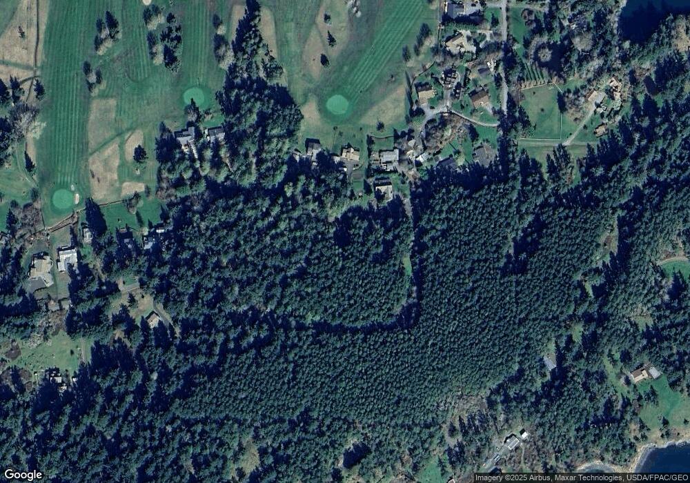
Map
Nearby Homes
- 1036 Golf Course Rd
- 2553 Cattle Point Rd
- 1881 Cattle Point Rd
- 1785 Douglas Rd Unit 54
- 1785 Douglas Rd Unit 35
- 1632 Cattle Point Rd
- 111 Baker Ln
- 450 Burton Ln
- 0 Undisclosed - Farm House Unit NWM2434448
- 0 Cattle Point Rd Unit NWM2401821
- 0 Undisclosed-Beach House Unit NWM2434444
- 1208 Argyle Ave
- 1935 False Bay Dr
- 625 Argyle Ave Unit D
- 480 Nelson St
- 365 Marguerite Place S
- 95 Laurel Point Ln
- 385 Marguerite Place
- 311 Price St
- 142 Pemberton Place
- 12 Mulno Cove Ln
- 176 Mulno Cove Ln
- 155 Loon Point Ln
- 67 Loon Point Rd
- 2551 Cattle Point Rd
- 104 Niemann Ln
- 47 Nieman Ln
- 1122 Golf Course Rd
- 497 Fairway Dr
- 459 Fairway Dr
- 1088 Golf Course Rd
- 479 Fairway Dr
- 477 Fairway Dr
- 127 Niemann Ln
- 548 Old Crab Ln
- 1100 Golf Course Rd
- 1102 Golf Course Rd
- 1013 Golf Course Rd
- 415 Fairway Dr
- 347 Fairway Dr