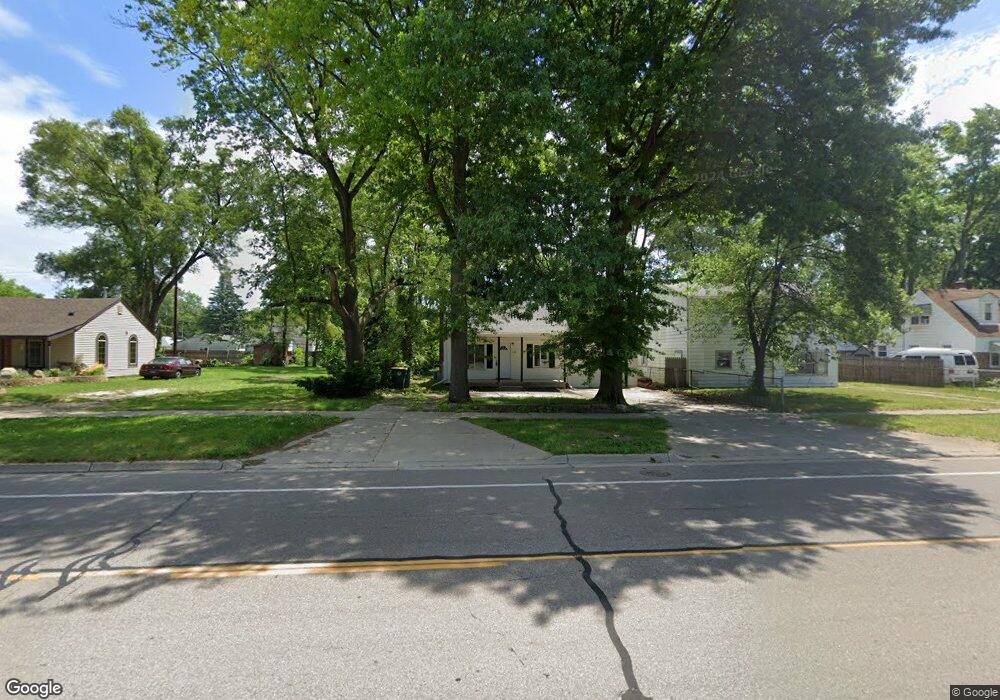
144 N Ford Blvd Ypsilanti, MI 48198
Estimated Value: $112,000 - $202,000
3
Beds
2
Baths
760
Sq Ft
$200/Sq Ft
Est. Value
About This Home
This home is located at 144 N Ford Blvd, Ypsilanti, MI 48198 and is currently estimated at $151,733, approximately $199 per square foot. 144 N Ford Blvd is a home located in Washtenaw County with nearby schools including Holmes Elementary School, Erickson Elementary School, and Estabrook Elementary School.
Ownership History
Date
Name
Owned For
Owner Type
Purchase Details
Closed on
Aug 23, 2024
Sold by
Hull Brandon
Bought by
Premier Capital Investments Llc
Current Estimated Value
Purchase Details
Closed on
Aug 9, 2024
Sold by
Tait Family Trust
Bought by
Hull Branobrandon
Purchase Details
Closed on
Feb 5, 2021
Sold by
Ripple Michael J
Bought by
The Tait Family Trust
Purchase Details
Closed on
Mar 22, 2019
Sold by
Williams Thomas and Williams Gwenda
Bought by
Ripple Michael J
Purchase Details
Closed on
Mar 6, 2019
Sold by
Adkins Donnie and Adkins Ellen M
Bought by
Williams Thomas and Williams Gwenda
Purchase Details
Closed on
Aug 3, 2015
Sold by
Adkins Donnie and Adkins Ellen M
Bought by
Adkins Donnie
Create a Home Valuation Report for This Property
The Home Valuation Report is an in-depth analysis detailing your home's value as well as a comparison with similar homes in the area
Home Values in the Area
Average Home Value in this Area
Purchase History
| Date | Buyer | Sale Price | Title Company |
|---|---|---|---|
| Premier Capital Investments Llc | $105,000 | None Listed On Document | |
| Hull Branobrandon | $105,000 | None Listed On Document | |
| Hull Branobrandon | $105,000 | None Listed On Document | |
| The Tait Family Trust | -- | None Available | |
| Tait Ryan C | -- | None Available | |
| Ripple Michael J | $36,500 | None Available | |
| Williams Thomas | $26,082 | None Available | |
| Adkins Donnie | -- | None Available |
Source: Public Records
Mortgage History
| Date | Status | Borrower | Loan Amount |
|---|---|---|---|
| Closed | Tait Ryan C | $0 |
Source: Public Records
Tax History Compared to Growth
Tax History
| Year | Tax Paid | Tax Assessment Tax Assessment Total Assessment is a certain percentage of the fair market value that is determined by local assessors to be the total taxable value of land and additions on the property. | Land | Improvement |
|---|---|---|---|---|
| 2025 | -- | $67,000 | $0 | $0 |
| 2024 | -- | $59,200 | $0 | $0 |
| 2023 | $1,419 | $51,700 | $0 | $0 |
| 2022 | $1,419 | $44,100 | $0 | $0 |
| 2021 | $1,419 | $39,600 | $0 | $0 |
| 2020 | $1,419 | $33,000 | $0 | $0 |
| 2019 | $1,419 | $30,800 | $30,800 | $0 |
| 2018 | $0 | $25,100 | $0 | $0 |
| 2017 | $1,424 | $22,900 | $0 | $0 |
| 2016 | $1,062 | $20,085 | $0 | $0 |
| 2015 | $1,363 | $20,025 | $0 | $0 |
| 2014 | $1,363 | $19,400 | $0 | $0 |
| 2013 | -- | $19,400 | $0 | $0 |
Source: Public Records
Map
Nearby Homes
- 819 N Harris Rd
- 808 Lamay Ave
- 24 Broadmoor
- 1060 Commonwealth Ave
- 211 Devonshire St
- 339 Ohio St
- 207 Oregon St
- 1252 Pageant Ave
- 278 Oregon St
- 190 Emerson Ave
- 270 Ohio St
- 1066 Holmes Rd
- 281 Ohio St
- 366 S Harris Rd
- 1161 Rambling Rd
- 1404 Fall River Rd
- 1320 Parkwood Ave
- 1349 Candlewood Ln
- 1244 Lexington Pkwy
- 1043 Rue Deauville Blvd