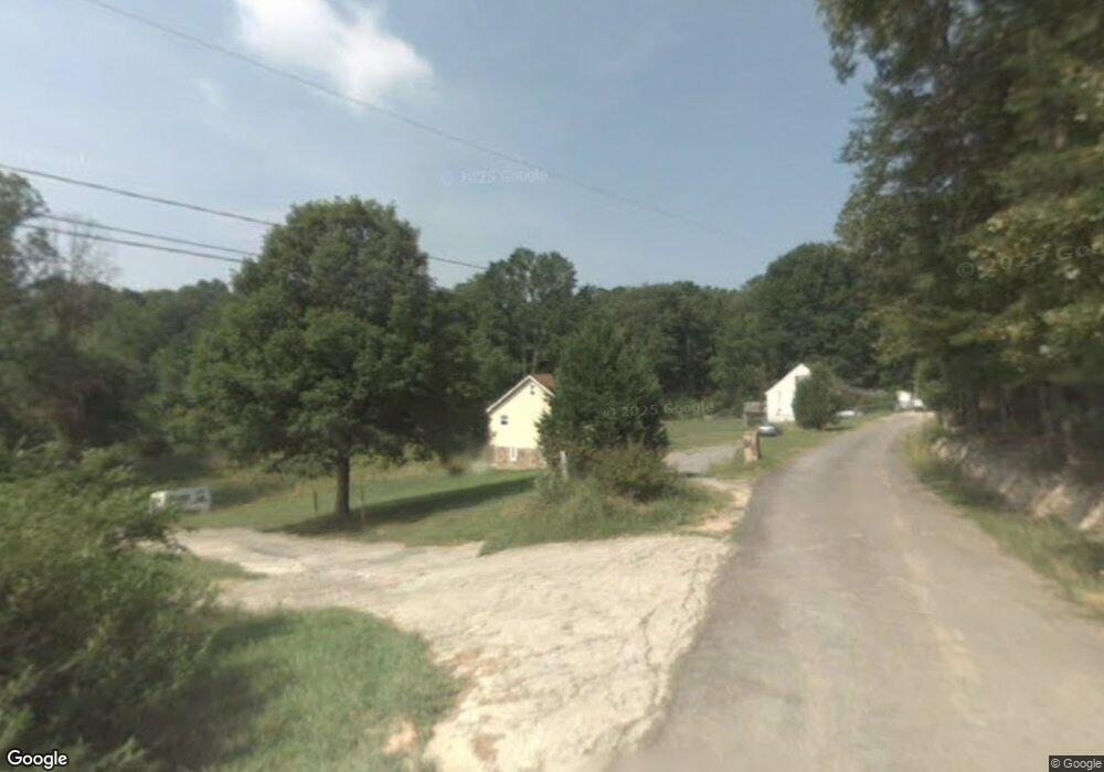
144 Nix Rd Varnell, GA 30756
Estimated Value: $202,000 - $249,000
3
Beds
2
Baths
1,480
Sq Ft
$151/Sq Ft
Est. Value
About This Home
This home is located at 144 Nix Rd, Varnell, GA 30756 and is currently estimated at $223,276, approximately $150 per square foot. 144 Nix Rd is a home located in Whitfield County with nearby schools including Varnell Elementary School, New Hope Middle School, and Northwest Whitfield County High School.
Ownership History
Date
Name
Owned For
Owner Type
Purchase Details
Closed on
Oct 31, 2007
Sold by
First State Finance Inc
Bought by
Cardin Properties Llc
Current Estimated Value
Purchase Details
Closed on
Nov 7, 2006
Sold by
Washington Aletta
Bought by
Financial Community Choice
Purchase Details
Closed on
Jan 25, 2005
Sold by
Not Provided
Bought by
Cardin Properties Llc
Home Financials for this Owner
Home Financials are based on the most recent Mortgage that was taken out on this home.
Original Mortgage
$53,345
Interest Rate
5.72%
Mortgage Type
New Conventional
Purchase Details
Closed on
Feb 20, 2003
Sold by
Washington Aletta & Gregory
Bought by
Washington Aletta
Purchase Details
Closed on
Nov 1, 1998
Bought by
Washington Aletta & Gregory
Create a Home Valuation Report for This Property
The Home Valuation Report is an in-depth analysis detailing your home's value as well as a comparison with similar homes in the area
Home Values in the Area
Average Home Value in this Area
Purchase History
| Date | Buyer | Sale Price | Title Company |
|---|---|---|---|
| Cardin Properties Llc | -- | -- | |
| Cardin Properties Llc | $47,500 | -- | |
| Financial Community Choice | -- | -- | |
| Cardin Properties Llc | -- | -- | |
| Washington Aletta | -- | -- | |
| Washington Aletta & Gregory | $53,000 | -- |
Source: Public Records
Mortgage History
| Date | Status | Borrower | Loan Amount |
|---|---|---|---|
| Previous Owner | Cardin Properties Llc | $53,345 |
Source: Public Records
Tax History Compared to Growth
Tax History
| Year | Tax Paid | Tax Assessment Tax Assessment Total Assessment is a certain percentage of the fair market value that is determined by local assessors to be the total taxable value of land and additions on the property. | Land | Improvement |
|---|---|---|---|---|
| 2024 | $1,738 | $73,828 | $3,818 | $70,010 |
| 2023 | $1,738 | $57,048 | $2,511 | $54,537 |
| 2022 | $926 | $29,096 | $2,464 | $26,632 |
| 2021 | $938 | $29,465 | $2,464 | $27,001 |
| 2020 | $968 | $29,465 | $2,464 | $27,001 |
| 2019 | $983 | $29,465 | $2,464 | $27,001 |
| 2018 | $987 | $29,095 | $2,094 | $27,001 |
| 2017 | $987 | $29,095 | $2,094 | $27,001 |
| 2016 | $873 | $26,685 | $2,094 | $24,591 |
| 2014 | $789 | $26,904 | $2,313 | $24,591 |
| 2013 | -- | $26,904 | $2,313 | $24,591 |
Source: Public Records
Map
Nearby Homes
- 1149 Percheron Dr NW
- 213 Varnell Cedar St
- Lot 54 Wexford Place
- Lot 45 Edinburgh Place
- 13 Ac Percheron Dr NW
- 13 acres Percheron Dr NW
- 1200 Percheron Dr NW
- 503 Appaloosa Dr
- Lot 64 Rochester Place
- Lot 61 Rochester Place
- Lot 58 Rochester Place
- Lot 59 Rochester Place
- Lot 72 Woodbury Trail
- 504 Ridge Pointe Ln
- 1055 Durham St
- 4057 W Parliament Dr
- Lot 44 Overlook Way
- 0 Rauschenberg Rd NW Unit 131488
- 0 Rauschenberg Rd NW Unit 1525052
- 309 Highland Pointe Dr
- 241 Nix Rd NW
- 161 Nix Rd NW
- 242 Mcgill Way
- 0 Tunnel Hill Varnell Rd Unit 123311
- 0 Tunnel Hill Varnell Rd Unit 113426
- 0 Tunnel Hill Varnell Rd Unit 116755
- 225 S S Spring St
- 184 S Spring St
- 161 Mcgill Way
- 00 Hwy 2
- 160 Baird Way
- 256 Baird Way
- 2296 Highway 2
- 201 Dogwood Dr
- 1145 Percheron Dr NW
- 2236 Highway 2
- 2236 Highway 2
- 197 Baird Way
- 1141 Percheron Dr NW
- 1151 Percheron Dr NW