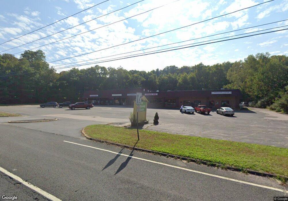
144 Route 6 Andover, CT 06232
Estimated Value: $1,410,105
Studio
--
Bath
12,700
Sq Ft
$111/Sq Ft
Est. Value
About This Home
This home is located at 144 Route 6, Andover, CT 06232 and is currently estimated at $1,410,105, approximately $111 per square foot. 144 Route 6 is a home located in Tolland County with nearby schools including Andover Elementary School, RHAM Middle School, and RHAM High School.
Ownership History
Date
Name
Owned For
Owner Type
Purchase Details
Closed on
May 22, 2020
Sold by
Andover Plaza Llc
Bought by
Jivan Llc
Current Estimated Value
Home Financials for this Owner
Home Financials are based on the most recent Mortgage that was taken out on this home.
Original Mortgage
$622,500
Outstanding Balance
$551,621
Interest Rate
3.3%
Mortgage Type
Commercial
Estimated Equity
$858,484
Purchase Details
Closed on
Oct 30, 2001
Sold by
Botticello Henry and Santos Abilio
Bought by
Andover Plaza Llc
Home Financials for this Owner
Home Financials are based on the most recent Mortgage that was taken out on this home.
Original Mortgage
$485,000
Interest Rate
8%
Mortgage Type
Commercial
Create a Home Valuation Report for This Property
The Home Valuation Report is an in-depth analysis detailing your home's value as well as a comparison with similar homes in the area
Home Values in the Area
Average Home Value in this Area
Purchase History
| Date | Buyer | Sale Price | Title Company |
|---|---|---|---|
| Jivan Llc | $850,000 | None Available | |
| Jivan Llc | $850,000 | None Available | |
| Andover Plaza Llc | $650,000 | -- | |
| Andover Plaza Llc | $650,000 | -- |
Source: Public Records
Mortgage History
| Date | Status | Borrower | Loan Amount |
|---|---|---|---|
| Open | Jivan Llc | $622,500 | |
| Closed | Jivan Llc | $622,500 | |
| Previous Owner | Andover Plaza Llc | $850,000 | |
| Previous Owner | Andover Plaza Llc | $600,000 | |
| Previous Owner | Andover Plaza Llc | $485,000 |
Source: Public Records
Tax History
| Year | Tax Paid | Tax Assessment Tax Assessment Total Assessment is a certain percentage of the fair market value that is determined by local assessors to be the total taxable value of land and additions on the property. | Land | Improvement |
|---|---|---|---|---|
| 2025 | $18,011 | $570,150 | $71,540 | $498,610 |
| 2024 | $17,937 | $570,150 | $71,540 | $498,610 |
| 2023 | $17,840 | $570,150 | $71,540 | $498,610 |
| 2022 | $18,193 | $570,150 | $71,540 | $498,610 |
| 2021 | $18,940 | $526,100 | $73,600 | $452,500 |
| 2020 | $18,734 | $526,100 | $73,600 | $452,500 |
| 2019 | $18,408 | $526,100 | $73,600 | $452,500 |
| 2018 | $17,861 | $526,100 | $73,600 | $452,500 |
| 2017 | $17,098 | $526,100 | $73,600 | $452,500 |
| 2016 | $16,119 | $524,700 | $74,300 | $450,400 |
| 2015 | $16,119 | $524,700 | $74,300 | $450,400 |
| 2014 | $16,119 | $524,700 | $74,300 | $450,400 |
Source: Public Records
Map
Nearby Homes
- 8 Times Farm Rd
- 126 Hebron Rd
- 34 Hanover Farms Rd
- 273 Hebron Rd
- 0 Skinner Hill Rd Unit 24077239
- 9 Tumblebrook Rd
- 0 Us Highway 6
- 0 Wheeling Rd Unit 24116879
- 24 Brian Dr
- 869 East St
- 400 West St
- 1 West St
- 687 Hop River Rd
- 1 Notch Rd
- 0 Boston Turnpike Unit 24128587
- 0 Hinkel Mae Dr
- 17 Ireland Dr
- 34 Volpi Rd
- 27 Fox Trail
- 939 Boston Turnpike
- 25 Aspinall Dr
- 17 Aspinall Dr
- 31 Aspinall Dr
- 43 Aspinall Dr
- 24 Aspinall Dr
- 18 Aspinall Dr
- 32 Aspinall Dr
- 131 Route 6
- 44 Aspinall Dr
- 166 Route 6
- 3 Hutchinson Rd
- 19 Ridge Rd
- 17 Burnap Brook Rd
- 0 Hutchinson Rd
- 25 Ridge Rd
- Lot 4 Hutchinson Rd
- 61 Hutchinson Rd
- 187 Route 6
- 187 Route 6 Unit A
- 187 Route 6 Unit B
Your Personal Tour Guide
Ask me questions while you tour the home.