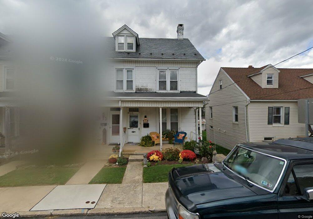
144 S Charles St Dallastown, PA 17313
Estimated Value: $152,046 - $160,000
3
Beds
1
Bath
1,240
Sq Ft
$126/Sq Ft
Est. Value
About This Home
This home is located at 144 S Charles St, Dallastown, PA 17313 and is currently estimated at $156,012, approximately $125 per square foot. 144 S Charles St is a home located in York County with nearby schools including Dallastown Elementary School, Dallastown Area Middle School, and Dallastown Area High School.
Ownership History
Date
Name
Owned For
Owner Type
Purchase Details
Closed on
Nov 8, 2005
Sold by
Latchaw Norma M and Latchaw William L
Bought by
Elicker Gregg A and Elicker Pamela A
Current Estimated Value
Purchase Details
Closed on
Apr 14, 1994
Bought by
Latchmaw Norma M
Create a Home Valuation Report for This Property
The Home Valuation Report is an in-depth analysis detailing your home's value as well as a comparison with similar homes in the area
Home Values in the Area
Average Home Value in this Area
Purchase History
| Date | Buyer | Sale Price | Title Company |
|---|---|---|---|
| Elicker Gregg A | -- | None Available | |
| Latchmaw Norma M | -- | -- |
Source: Public Records
Tax History Compared to Growth
Tax History
| Year | Tax Paid | Tax Assessment Tax Assessment Total Assessment is a certain percentage of the fair market value that is determined by local assessors to be the total taxable value of land and additions on the property. | Land | Improvement |
|---|---|---|---|---|
| 2025 | $2,373 | $68,310 | $19,260 | $49,050 |
| 2024 | $2,373 | $68,310 | $19,260 | $49,050 |
| 2023 | $2,373 | $68,310 | $19,260 | $49,050 |
| 2022 | $2,297 | $68,310 | $19,260 | $49,050 |
| 2021 | $2,166 | $68,310 | $19,260 | $49,050 |
| 2020 | $2,166 | $68,310 | $19,260 | $49,050 |
| 2019 | $2,159 | $68,310 | $19,260 | $49,050 |
| 2018 | $2,159 | $68,310 | $19,260 | $49,050 |
| 2017 | $2,075 | $68,310 | $19,260 | $49,050 |
| 2016 | $0 | $68,310 | $19,260 | $49,050 |
| 2015 | -- | $68,310 | $19,260 | $49,050 |
| 2014 | -- | $68,310 | $19,260 | $49,050 |
Source: Public Records
Map
Nearby Homes
- 122 S Pleasant Ave
- 64 S Pleasant Ave
- 56 E Frederick St
- 106 Teila Dr
- 0 S Franklin St
- 136 Teila Dr
- 355 W Main St
- 435 Frederick Dr
- 424 Dartha Dr
- 428 W Main St
- 732 Blossom Hill Ln
- 74 S Main St
- 0 Gary Dr
- 774 Blossom Hill Ln
- 260 Country Ridge Dr
- 211 Country Ridge Dr
- 168 Country Ridge Dr
- 156 Country Ridge Dr
- 126 Country Ridge Dr
- 131 Country Ridge Dr
- 146 S Charles St
- 142 S Charles St
- 148 S Charles St
- 150 S Charles St
- 140 S Charles St
- 200 S Charles St
- 132 S Charles St
- 50 E Queen St
- 202 S Charles St
- 204 S Charles St
- 157 S Charles St
- 159 S Charles St
- 153 S Charles St
- 149 S Charles St
- 147 S Charles St
- 191 Devers St
- 145 S Charles St
- 205 S Charles St
- 219 S Franklin Ave
- 181 Devers St