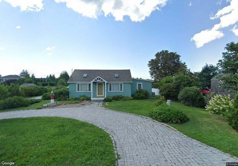
144 Sakonnet Point Rd Little Compton, RI 02837
Estimated Value: $903,000 - $5,903,000
3
Beds
1
Bath
1,056
Sq Ft
$2,063/Sq Ft
Est. Value
About This Home
This home is located at 144 Sakonnet Point Rd, Little Compton, RI 02837 and is currently estimated at $2,178,315, approximately $2,062 per square foot. 144 Sakonnet Point Rd is a home located in Newport County with nearby schools including Wilbur & McMahon School.
Ownership History
Date
Name
Owned For
Owner Type
Purchase Details
Closed on
Jul 21, 2023
Sold by
Cardea Thomas M and Cardea Polly S
Bought by
Cardea Ft and Cardea
Current Estimated Value
Purchase Details
Closed on
Sep 22, 1999
Sold by
Fox Eleanor Est and Perreault
Bought by
Cardea Thomas M and Cardea Polly S
Purchase Details
Closed on
Jan 29, 1992
Sold by
Fox Edward Est
Bought by
Cardea Thomas
Home Financials for this Owner
Home Financials are based on the most recent Mortgage that was taken out on this home.
Original Mortgage
$25,000
Interest Rate
8.44%
Mortgage Type
Purchase Money Mortgage
Create a Home Valuation Report for This Property
The Home Valuation Report is an in-depth analysis detailing your home's value as well as a comparison with similar homes in the area
Home Values in the Area
Average Home Value in this Area
Purchase History
| Date | Buyer | Sale Price | Title Company |
|---|---|---|---|
| Cardea Ft | -- | None Available | |
| Cardea Ft | -- | None Available | |
| Cardea Thomas M | $33,000 | -- | |
| Cardea Thomas M | $33,000 | -- | |
| Cardea Thomas | $85,000 | -- |
Source: Public Records
Mortgage History
| Date | Status | Borrower | Loan Amount |
|---|---|---|---|
| Previous Owner | Cardea Thomas | $60,000 | |
| Previous Owner | Cardea Thomas | $30,000 | |
| Previous Owner | Cardea Thomas | $25,000 |
Source: Public Records
Tax History
| Year | Tax Paid | Tax Assessment Tax Assessment Total Assessment is a certain percentage of the fair market value that is determined by local assessors to be the total taxable value of land and additions on the property. | Land | Improvement |
|---|---|---|---|---|
| 2025 | $2,999 | $626,100 | $333,700 | $292,400 |
| 2024 | $2,663 | $524,300 | $290,100 | $234,200 |
| 2023 | $2,601 | $524,300 | $290,100 | $234,200 |
| 2022 | $2,569 | $524,300 | $290,100 | $234,200 |
| 2021 | $2,535 | $419,700 | $242,700 | $177,000 |
| 2020 | $2,349 | $392,100 | $242,700 | $149,400 |
| 2019 | $2,325 | $392,100 | $242,700 | $149,400 |
| 2018 | $2,417 | $405,500 | $252,400 | $153,100 |
| 2016 | $2,299 | $405,500 | $252,400 | $153,100 |
| 2015 | $2,199 | $382,500 | $229,400 | $153,100 |
| 2014 | $2,157 | $382,500 | $229,400 | $153,100 |
Source: Public Records
Map
Nearby Homes
- 148 Sakonnet Point Rd
- 21 California Rd
- 29 California Rd
- 152 Sakonnet Point Rd
- 130 Sakonnet Point Rd
- 0 Connecticut Rd
- 154 Sakonnet Point Rd
- 14 California Rd
- 15 Nevada Rd
- 17 Nevada Rd
- 143B Sakonnet Point Rd
- 20 California Rd
- 143 Sakonnet Point Rd
- 143B Sakonnet Point Rd
- 143 Sakonnet Point Rd
- 10 California Rd
- 9 Nevada Rd
- 22 California Rd
- 5 California Rd
- 155 Sakonnet Point Rd
Your Personal Tour Guide
Ask me questions while you tour the home.