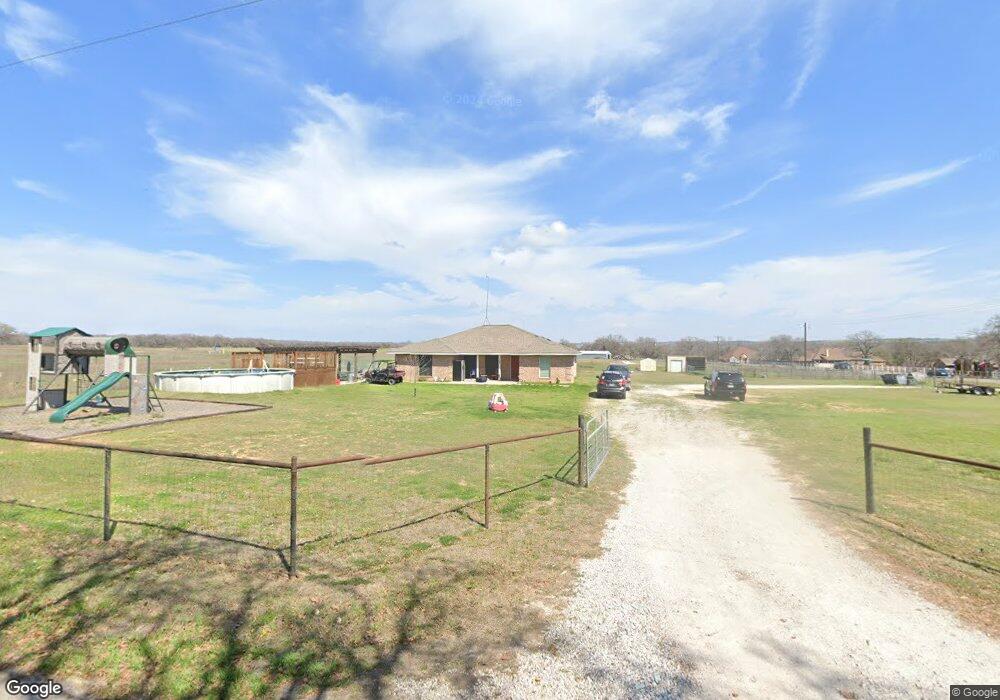
144 Sanders Rd Weatherford, TX 76087
Estimated Value: $398,429 - $567,000
--
Bed
--
Bath
2,030
Sq Ft
$242/Sq Ft
Est. Value
About This Home
This home is located at 144 Sanders Rd, Weatherford, TX 76087 and is currently estimated at $491,107, approximately $241 per square foot. 144 Sanders Rd is a home located in Parker County with nearby schools including Austin Elementary School, Hall Middle School, and Weatherford High School.
Ownership History
Date
Name
Owned For
Owner Type
Purchase Details
Closed on
Mar 5, 2015
Sold by
Tidwell Larry Dean and Mcdaniel Luann
Bought by
Mcdaniel Luann
Current Estimated Value
Purchase Details
Closed on
Oct 31, 2012
Sold by
Mcdaniel Luann
Bought by
Mcdaniel Troy and Mcdaniel Leann
Home Financials for this Owner
Home Financials are based on the most recent Mortgage that was taken out on this home.
Original Mortgage
$152,174
Outstanding Balance
$104,456
Interest Rate
3.25%
Mortgage Type
FHA
Estimated Equity
$386,651
Purchase Details
Closed on
Apr 30, 2007
Sold by
Tidwell Orlena
Bought by
Mcdaniel Troy and Mcdaniel Luann
Create a Home Valuation Report for This Property
The Home Valuation Report is an in-depth analysis detailing your home's value as well as a comparison with similar homes in the area
Home Values in the Area
Average Home Value in this Area
Purchase History
| Date | Buyer | Sale Price | Title Company |
|---|---|---|---|
| Mcdaniel Luann | -- | None Available | |
| Mcdaniel Troy | -- | Fatco | |
| Mcdaniel Troy | -- | None Available |
Source: Public Records
Mortgage History
| Date | Status | Borrower | Loan Amount |
|---|---|---|---|
| Open | Mcdaniel Troy | $152,174 |
Source: Public Records
Tax History Compared to Growth
Tax History
| Year | Tax Paid | Tax Assessment Tax Assessment Total Assessment is a certain percentage of the fair market value that is determined by local assessors to be the total taxable value of land and additions on the property. | Land | Improvement |
|---|---|---|---|---|
| 2025 | $4,630 | $384,199 | -- | -- |
| 2024 | $4,630 | $349,272 | -- | -- |
| 2023 | $4,630 | $317,520 | $0 | $0 |
| 2022 | $5,368 | $292,310 | $68,240 | $224,070 |
| 2021 | $5,284 | $292,310 | $68,240 | $224,070 |
| 2020 | $4,827 | $238,560 | $53,990 | $184,570 |
| 2019 | $4,706 | $238,560 | $53,990 | $184,570 |
| 2018 | $4,316 | $223,110 | $41,250 | $181,860 |
| 2017 | $4,004 | $223,110 | $41,250 | $181,860 |
| 2016 | $3,640 | $163,980 | $29,090 | $134,890 |
| 2015 | $3,197 | $163,980 | $29,090 | $134,890 |
| 2014 | $2,678 | $136,000 | $29,090 | $106,910 |
Source: Public Records
Map
Nearby Homes
- 1001 Trinity Oaks Rd
- 425 Fm 1708
- 128 Southwinds Dr
- 145 Tobiano Trace
- 133 Tobiano Trace
- TBD Tbd
- tbd Pinnacle Peak Ln
- 650 Spring Creek Pkwy
- XXX Tin Top Rd
- 8300 Norris Cir
- 1001 Bluebonnet Ridge
- 113 Oaks Springs Ln
- 1019 Bluebonnet Ridge
- 1020 Bluebonnet Ridge
- 3952 Tin Top Rd
- TBD Thompson Rd
- 800 Purselly Ct
- 2001 Pinetree Post
- 1400 Spring Creek Rd
- 5444 Meadow Ridge Dr
- 150 Inspiration Dr
- 900 Fm 1708
- 198 Foxpointe Cir
- 800 Fm 1708
- 795 Fm 1708
- 100 Laurel Valley Ct
- 801 Fm 1708
- 924 Fm 1708
- 924 Fm 1708
- 190 Foxpointe Cir
- 924 Farm To Market Road 1708
- 100 Foxpointe Cir
- 246 Sanders Rd
- 118 Elm Crest Ct
- 101 Laurel Valley Ct
- 234 Sanders Rd
- 104 Laurel Valley Ct
- 189 Foxpointe Cir
- 112 Elm Crest Ct
- 700 Fm 1708