144 Sherman Rd Wakefield, RI 02879
Estimated Value: $939,000 - $1,330,000
3
Beds
2
Baths
2,042
Sq Ft
$556/Sq Ft
Est. Value
About This Home
This home is located at 144 Sherman Rd, Wakefield, RI 02879 and is currently estimated at $1,135,266, approximately $555 per square foot. 144 Sherman Rd is a home located in Washington County with nearby schools including South Kingstown High School.
Ownership History
Date
Name
Owned For
Owner Type
Purchase Details
Closed on
Jun 6, 1996
Sold by
Miller Robert A and Miller Joyce
Bought by
Staples Eugene S and Staples Judith
Current Estimated Value
Home Financials for this Owner
Home Financials are based on the most recent Mortgage that was taken out on this home.
Original Mortgage
$40,000
Outstanding Balance
$2,530
Interest Rate
7.89%
Estimated Equity
$1,132,736
Create a Home Valuation Report for This Property
The Home Valuation Report is an in-depth analysis detailing your home's value as well as a comparison with similar homes in the area
Home Values in the Area
Average Home Value in this Area
Purchase History
| Date | Buyer | Sale Price | Title Company |
|---|---|---|---|
| Staples Eugene S | $235,000 | -- |
Source: Public Records
Mortgage History
| Date | Status | Borrower | Loan Amount |
|---|---|---|---|
| Open | Staples Eugene S | $40,000 |
Source: Public Records
Tax History Compared to Growth
Tax History
| Year | Tax Paid | Tax Assessment Tax Assessment Total Assessment is a certain percentage of the fair market value that is determined by local assessors to be the total taxable value of land and additions on the property. | Land | Improvement |
|---|---|---|---|---|
| 2025 | $9,705 | $1,085,600 | $741,500 | $344,100 |
| 2024 | $9,777 | $884,800 | $608,300 | $276,500 |
| 2023 | $9,777 | $884,800 | $608,300 | $276,500 |
| 2022 | $9,689 | $884,800 | $608,300 | $276,500 |
| 2021 | $8,880 | $614,500 | $394,300 | $220,200 |
| 2020 | $8,880 | $614,500 | $394,300 | $220,200 |
| 2019 | $8,880 | $614,500 | $394,300 | $220,200 |
| 2018 | $8,633 | $550,600 | $371,100 | $179,500 |
| 2017 | $8,430 | $550,600 | $371,100 | $179,500 |
| 2016 | $8,309 | $550,600 | $371,100 | $179,500 |
| 2015 | $7,980 | $514,200 | $337,300 | $176,900 |
| 2014 | $7,960 | $514,200 | $337,300 | $176,900 |
Source: Public Records
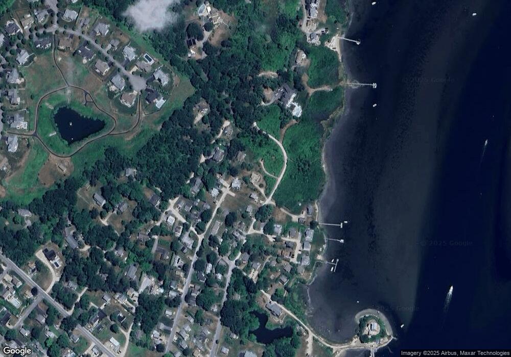
Map
Nearby Homes
- 16 High Tides Ln
- 392 Gooseberry Rd
- 83 Gooseberry Rd
- 17 Westside Rd
- 25 Scallop Shell Rd
- 689 Succotash Rd
- 691 Succotash Rd
- 20 Marine Dr
- 14 E Pointe Ct Unit 14
- 17 Goose Island Rd
- 6 MacAlder St
- 380 Camp Fuller Rd
- 18 Beach Row
- 2139 Commodore Oliver Hazard Perry Hwy
- 31 E Pond Rd
- 277 Prospect Rd
- 129 Sand Hill Cove Rd
- 124 Houston Ave
- 101 Kenyon Farm Rd
- 110 Houston Ave
- 134 Sherman Rd
- 138 Hull St
- 126 Sherman Rd
- 150 Sherman Rd
- 122 Hull St
- 127 Marine Rd
- 114 Sherman Rd
- 137 Sherman Rd
- 111 Hull St
- 116 Hull St
- 117 Sherman Rd Unit C
- 117 Sherman Rd Unit A
- 117 Sherman Rd Unit G
- 117 Sherman Rd
- 117 Sherman Rd Unit F
- 117 Sherman Rd Unit H
- 110 Sherman Rd
- 104 Hull St
- 135 Marine Rd
- 103 Hull St