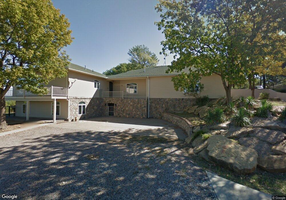
144 Sunset Trail Pottsboro, TX 75076
Estimated Value: $816,000 - $951,000
4
Beds
4
Baths
3,220
Sq Ft
$274/Sq Ft
Est. Value
About This Home
This home is located at 144 Sunset Trail, Pottsboro, TX 75076 and is currently estimated at $881,772, approximately $273 per square foot. 144 Sunset Trail is a home located in Grayson County with nearby schools including Pottsboro Elementary School, Pottsboro Middle School, and Pottsboro High School.
Ownership History
Date
Name
Owned For
Owner Type
Purchase Details
Closed on
Aug 19, 2020
Sold by
Stanton Dan and Stanton Rhonda
Bought by
Mcdaniel Allen L and Gossage Janet L
Current Estimated Value
Purchase Details
Closed on
Mar 16, 2020
Sold by
Thomas Bill E and Thomas Beverly A
Bought by
Gossage Janet Lee and Mcdaniel Allen Lynn
Home Financials for this Owner
Home Financials are based on the most recent Mortgage that was taken out on this home.
Original Mortgage
$400,000
Interest Rate
3%
Mortgage Type
New Conventional
Create a Home Valuation Report for This Property
The Home Valuation Report is an in-depth analysis detailing your home's value as well as a comparison with similar homes in the area
Home Values in the Area
Average Home Value in this Area
Purchase History
| Date | Buyer | Sale Price | Title Company |
|---|---|---|---|
| Mcdaniel Allen L | -- | None Available | |
| Gossage Janet Lee | -- | None Available |
Source: Public Records
Mortgage History
| Date | Status | Borrower | Loan Amount |
|---|---|---|---|
| Previous Owner | Gossage Janet Lee | $400,000 |
Source: Public Records
Tax History Compared to Growth
Tax History
| Year | Tax Paid | Tax Assessment Tax Assessment Total Assessment is a certain percentage of the fair market value that is determined by local assessors to be the total taxable value of land and additions on the property. | Land | Improvement |
|---|---|---|---|---|
| 2025 | $6,960 | $958,879 | $305,026 | $653,853 |
| 2024 | $12,263 | $885,115 | $0 | $0 |
| 2023 | $6,976 | $804,650 | $0 | $0 |
| 2022 | $11,513 | $731,500 | $0 | $0 |
| 2021 | $10,815 | $665,000 | $165,014 | $499,986 |
| 2020 | $9,374 | $555,275 | $163,285 | $391,990 |
| 2019 | $8,956 | $506,259 | $163,285 | $342,974 |
| 2018 | $9,070 | $506,259 | $163,285 | $342,974 |
| 2017 | $8,589 | $473,208 | $163,285 | $309,923 |
| 2016 | $8,547 | $473,208 | $163,285 | $309,923 |
| 2015 | $8,390 | $454,187 | $163,285 | $290,902 |
| 2014 | $8,086 | $434,166 | $162,448 | $271,718 |
Source: Public Records
Map
Nearby Homes
- 258 Lou-Sand Hill Rd
- 455 Lakepoint Loop
- 588 Lakepoint Loop
- 116 Oak Hills Dr
- 766 Lakepoint Loop
- 33 Queens Dr
- 118 Hacienda Dr
- 355 Lakecrest Dr
- 188 Hacienda Dr
- 16 Wales Dr
- 491 Black Forest Dr
- 2164 Tanglewood Blvd Unit A208
- 2164 Tanglewood Blvd Unit 115
- 2164 Tanglewood Blvd Unit 207
- 2164 Tanglewood Blvd Unit 215
- 2164 Tanglewood Blvd Unit 309
- 2164 Tanglewood Blvd Unit 308
- 2164 Tanglewood Blvd Unit 104
- 2164 Tanglewood Blvd Unit 210
- 219 Ray Rd
- 9 Eagles Nest Ln
- 112 Sunset Trail
- 11 Eagles Nest Ln
- 4 Hummingbird Ln
- 39 Eagles Nest Ln
- 55 Eagles Nest Ln
- 3 Red Bird Ln
- 83 Hummingbird Ln
- 84 Hummingbird Ln
- 84 Eagles Nest Ln
- 10 Sunset Trail
- 6.21 Red Bird Ln
- 105 Red Bird Ln
- 1058 Cedar Oak Dr
- 3 Byrd Ln
- 132 Eagles Nest Ln
- 1004 Cedar Oak Dr
- 143 Red Bird Ln
- 1064 Cedar Oak Dr
- 1064 Cedar Oak Dr