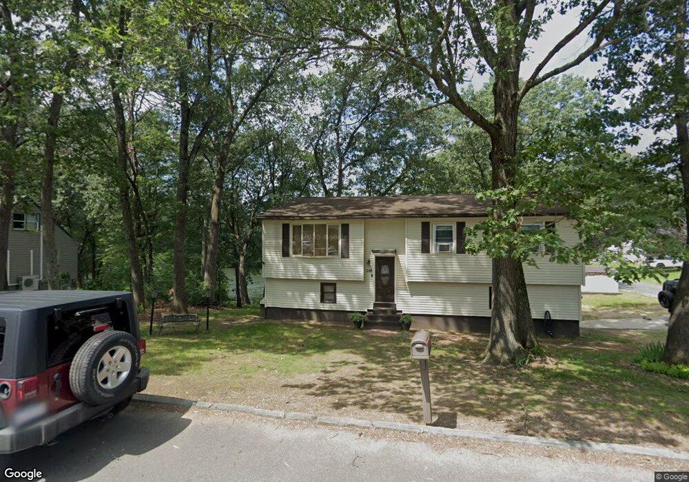
144 Undine Cir Springfield, MA 01109
Sixteen Acres NeighborhoodEstimated Value: $292,000 - $324,000
3
Beds
1
Bath
1,086
Sq Ft
$280/Sq Ft
Est. Value
About This Home
This home is located at 144 Undine Cir, Springfield, MA 01109 and is currently estimated at $304,397, approximately $280 per square foot. 144 Undine Cir is a home located in Hampden County with nearby schools including Frank H. Freedman School, John J Duggan Middle, and Springfield High School of Science and Technology.
Ownership History
Date
Name
Owned For
Owner Type
Purchase Details
Closed on
Jun 30, 2010
Sold by
Bank Of New York Mello
Bought by
Moreno Camille
Current Estimated Value
Home Financials for this Owner
Home Financials are based on the most recent Mortgage that was taken out on this home.
Original Mortgage
$117,911
Outstanding Balance
$79,904
Interest Rate
5.12%
Mortgage Type
FHA
Estimated Equity
$224,493
Purchase Details
Closed on
Oct 5, 2009
Sold by
Williams James
Bought by
Bank Of New York Mello
Create a Home Valuation Report for This Property
The Home Valuation Report is an in-depth analysis detailing your home's value as well as a comparison with similar homes in the area
Home Values in the Area
Average Home Value in this Area
Purchase History
| Date | Buyer | Sale Price | Title Company |
|---|---|---|---|
| Moreno Camille | $119,500 | -- | |
| Bank Of New York Mello | $103,533 | -- |
Source: Public Records
Mortgage History
| Date | Status | Borrower | Loan Amount |
|---|---|---|---|
| Open | Moreno Camille | $117,911 |
Source: Public Records
Tax History Compared to Growth
Tax History
| Year | Tax Paid | Tax Assessment Tax Assessment Total Assessment is a certain percentage of the fair market value that is determined by local assessors to be the total taxable value of land and additions on the property. | Land | Improvement |
|---|---|---|---|---|
| 2025 | $4,002 | $255,200 | $52,400 | $202,800 |
| 2024 | $3,811 | $237,300 | $52,400 | $184,900 |
| 2023 | $3,872 | $227,100 | $49,800 | $177,300 |
| 2022 | $3,642 | $193,500 | $49,800 | $143,700 |
| 2021 | $3,425 | $181,200 | $45,300 | $135,900 |
| 2020 | $3,107 | $159,100 | $45,300 | $113,800 |
| 2019 | $3,133 | $159,200 | $45,300 | $113,900 |
| 2018 | $2,895 | $147,100 | $45,300 | $101,800 |
| 2017 | $2,906 | $147,800 | $50,300 | $97,500 |
| 2016 | $2,715 | $138,100 | $50,300 | $87,800 |
| 2015 | $2,663 | $135,400 | $50,300 | $85,100 |
Source: Public Records
Map
Nearby Homes
- 134 Undine Cir
- 258 Stapleton Rd
- 234 Stapleton Rd
- 245 Stapleton Rd
- 137 Undine Cir
- 248 Stapleton Rd
- 237 Stapleton Rd
- 126 Undine Cir
- 266 Stapleton Rd
- 131 Undine Cir
- 265 Stapleton Rd
- 224 Stapleton Rd
- 121 Undine Cir
- 227 Stapleton Rd
- 218 Cherokee Dr
- 24 Tumbleweed Rd
- 118 Undine Cir
- 15 Undine Cir
- 14 Tumbleweed Rd
- 32 Tumbleweed Rd