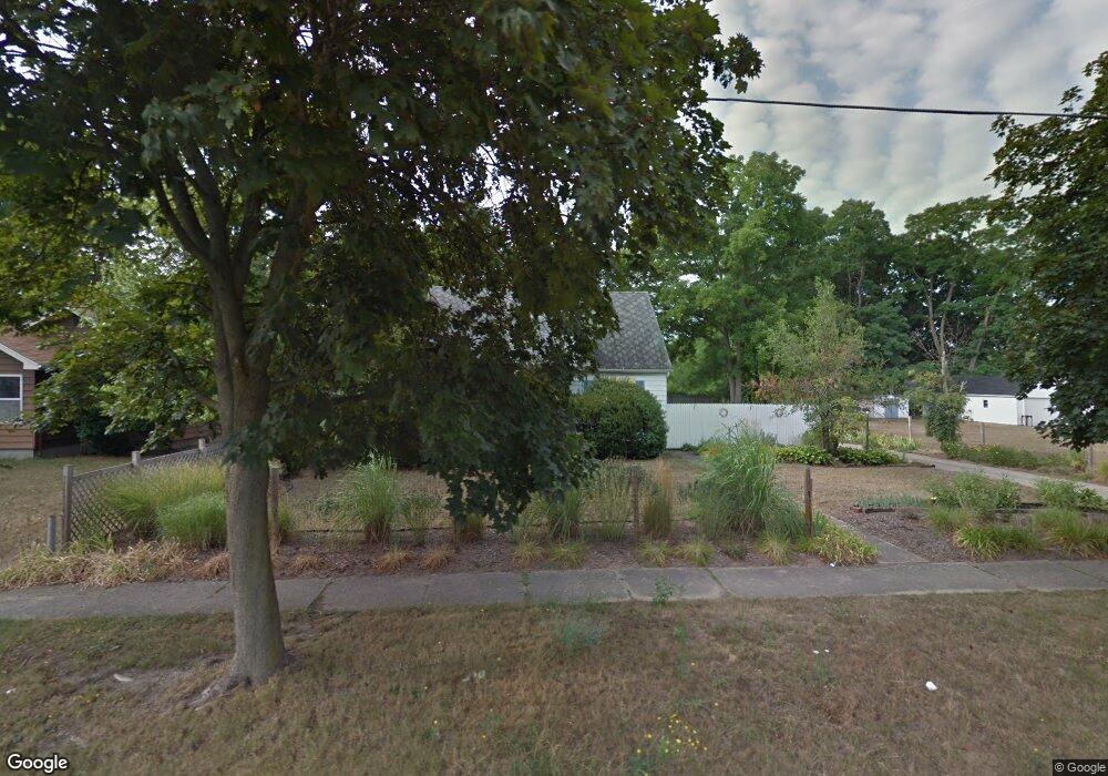
144 Willard Ave E Battle Creek, MI 49037
Urbandale NeighborhoodEstimated Value: $146,546 - $172,000
About This Home
This home is located at 144 Willard Ave E, Battle Creek, MI 49037 and is currently estimated at $153,637, approximately $125 per square foot. 144 Willard Ave E is a home located in Calhoun County with nearby schools including Northwestern Middle School, Battle Creek Central High School, and Battle Creek Montessori Academy.
Ownership History
We collect this data history from publicly available records. To have your information removed, we recommend requesting removal directly through your county’s website.
Purchase Details
Purchase Details
Purchase Details
Purchase Details
Home Values in the Area
Average Home Value in this Area
Purchase History
We collect this data history from publicly available records. To have your information removed, we recommend requesting removal directly through your county’s website.
| Date | Buyer | Sale Price | Title Company |
|---|---|---|---|
| -- | -- | ||
| -- | -- | ||
| $45,000 | -- | ||
| -- | -- |
Tax History
We collect this data history from publicly available records. To have your information removed, we recommend requesting removal directly through your county’s website.
| Year | Tax Paid | Tax Assessment Tax Assessment Total Assessment is a certain percentage of the fair market value that is determined by local assessors to be the total taxable value of land and additions on the property. | Land | Improvement |
|---|---|---|---|---|
| 2026 | -- | $70,500 | $0 | $0 |
| 2025 | $1,044 | $61,800 | $0 | $0 |
| 2024 | $284 | $58,058 | $0 | $0 |
| 2023 | $1,172 | $54,360 | $0 | $0 |
| 2022 | $926 | $42,378 | $0 | $0 |
| 2021 | $1,106 | $37,167 | $0 | $0 |
| 2020 | $1,094 | $34,053 | $0 | $0 |
| 2019 | $1,036 | $28,576 | $0 | $0 |
| 2018 | $1,036 | $27,399 | $1,506 | $25,893 |
| 2017 | $1,004 | $31,648 | $0 | $0 |
| 2016 | $1,002 | $24,577 | $0 | $0 |
| 2015 | $982 | $23,632 | $4,258 | $19,374 |
| 2014 | $982 | $21,309 | $4,258 | $17,051 |
Map
- 99 Eldredge St
- 134 Willard Ave E
- 33 Troy St
- 39 Troy St
- 171 Eldredge St
- 1349 Michigan Ave W
- 34 Myrtle Ave
- 21 Willard Ave E
- 29 Shellenberger Ave
- 50 Emerald Ave
- 0 Bynum Drive Lots 29 & 30 Dr Unit 25025910
- 24 Bynum Dr
- 23 Kellogg St
- 139 Spaulding Ave W
- 236 Limit St
- 200 Spaulding Ave W
- 201 Taylor Ave
- 153 N Woodlawn Ave
- 211 Creekview Dr
- 239 Broadway Blvd
- 150 Willard Ave E
- 117 Eldredge St
- 105 Eldredge St
- 147 Willard Ave E
- 118 Eldredge St
- 151 Willard Ave E
- 143 Willard Ave E
- 137 Willard Ave E
- 130 Eldredge St
- 139 Eldredge St
- 106 Eldredge St
- 126 Willard Ave E
- 136 Eldredge St
- 34 Troy St
- 94 Eldredge St
- 89 Eldredge St
- 80 Dunning Ave
- 181 Willard Ave E
- 0 Dunning Ave
- 000 Dunning Ave
Ask me questions while you tour the home.