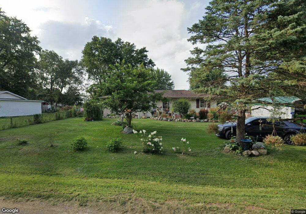
1440 Fair St Decatur, IL 62526
Estimated Value: $109,000 - $176,231
3
Beds
2
Baths
1,632
Sq Ft
$93/Sq Ft
Est. Value
About This Home
This home is located at 1440 Fair St, Decatur, IL 62526 and is currently estimated at $152,558, approximately $93 per square foot. 1440 Fair St is a home located in Macon County with nearby schools including Warrensburg-Latham Elementary School, Warrensburg-Latham Middle School, and Warrensburg-Latham High School.
Ownership History
Date
Name
Owned For
Owner Type
Purchase Details
Closed on
Jun 17, 2021
Sold by
Gober Todd M
Bought by
Gober Todd M and Schiro Ann E
Current Estimated Value
Purchase Details
Closed on
Apr 23, 2019
Sold by
Fannie Mae
Bought by
Gober Todd Martin
Purchase Details
Closed on
Dec 4, 2018
Sold by
Macon County Sheriff
Bought by
Federal National Mortgage Association
Purchase Details
Closed on
May 18, 2007
Sold by
Ziemer Shawn R
Bought by
Brown Bruce Allen
Purchase Details
Closed on
Mar 17, 2006
Sold by
Cohen Natsha L and Ziemer Natasha L
Bought by
Ziemer Shawn R
Home Financials for this Owner
Home Financials are based on the most recent Mortgage that was taken out on this home.
Original Mortgage
$96,000
Interest Rate
10.12%
Mortgage Type
Adjustable Rate Mortgage/ARM
Purchase Details
Closed on
May 1, 2001
Create a Home Valuation Report for This Property
The Home Valuation Report is an in-depth analysis detailing your home's value as well as a comparison with similar homes in the area
Home Values in the Area
Average Home Value in this Area
Purchase History
| Date | Buyer | Sale Price | Title Company |
|---|---|---|---|
| Gober Todd M | -- | None Available | |
| Gober Todd Martin | $69,000 | None Available | |
| Federal National Mortgage Association | $74,600 | None Available | |
| Brown Bruce Allen | $124,000 | None Available | |
| Ziemer Shawn R | -- | None Available | |
| -- | $91,500 | -- |
Source: Public Records
Mortgage History
| Date | Status | Borrower | Loan Amount |
|---|---|---|---|
| Previous Owner | Ziemer Shawn R | $96,000 |
Source: Public Records
Tax History Compared to Growth
Tax History
| Year | Tax Paid | Tax Assessment Tax Assessment Total Assessment is a certain percentage of the fair market value that is determined by local assessors to be the total taxable value of land and additions on the property. | Land | Improvement |
|---|---|---|---|---|
| 2024 | $2,803 | $43,798 | $4,475 | $39,323 |
| 2023 | $2,607 | $40,263 | $4,114 | $36,149 |
| 2022 | $2,428 | $37,343 | $3,816 | $33,527 |
| 2021 | $2,314 | $35,888 | $3,568 | $32,320 |
| 2020 | $2,672 | $35,146 | $3,494 | $31,652 |
| 2019 | $2,672 | $35,146 | $3,494 | $31,652 |
| 2018 | $2,664 | $35,397 | $3,519 | $31,878 |
| 2017 | $2,680 | $35,238 | $3,503 | $31,735 |
| 2016 | $2,716 | $35,322 | $3,511 | $31,811 |
| 2015 | $2,653 | $34,903 | $3,469 | $31,434 |
| 2014 | $2,424 | $34,903 | $3,469 | $31,434 |
| 2013 | $2,527 | $34,903 | $3,469 | $31,434 |
Source: Public Records
Map
Nearby Homes
- 1110 W Ash Ave
- 1225 W Pineview Ct
- 3707 N Woodridge Dr
- 1474 Meadowview Dr
- 3981 N Northbrook Dr
- 933 W Frank Dr
- 1120 Meadowview Dr
- 4643 Nicklaus Ct
- 880 W Frank Dr
- 810 Sarah Dr
- 1110 Woodridge Ct
- 4074 Sheffield Ct
- 3333 N University Ave
- 2127 Riedel Ave
- 612 W Karen Dr
- 4444 N Adams Dr
- 2222 Sands Dr
- 3321 N Oakland Ave
- 416 Southampton Dr
- 3235 N Susan Dr
- 1427 Plainview St
- 1430 Fair St
- 4108 N Taylor Ave
- 1421 Plainview St
- 1439 Fair St
- 1433 Fair St
- 4138 N Taylor Ave
- 1423 Fair St
- 1420 Fair St
- 1411 Plainview St
- 4080 N Taylor Ave
- 4104 N Taylor Ave
- 1415 Fair St
- 1410 Fair St
- 4078 N Taylor Ave
- 4174 Starlight Ave
- 1429 W Ash Ave
- 1429 W Ash Ave
- 1513 Plainview St
- 4123 N Taylor Ave