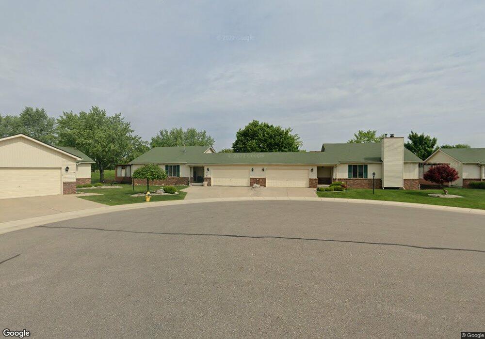
1440 Grant Ct Unit 9 Lapeer, MI 48446
Estimated Value: $201,000 - $236,581
2
Beds
2
Baths
1,204
Sq Ft
$182/Sq Ft
Est. Value
About This Home
This home is located at 1440 Grant Ct Unit 9, Lapeer, MI 48446 and is currently estimated at $219,145, approximately $182 per square foot. 1440 Grant Ct Unit 9 is a home located in Lapeer County with nearby schools including C.K. Schickler Elementary School, Rolland-Warner Middle School, and Lapeer High School.
Ownership History
Date
Name
Owned For
Owner Type
Purchase Details
Closed on
Aug 21, 2020
Sold by
Lilley David W and Lilley Steven R
Bought by
Nowak Ronald M and Nowak Beth A
Current Estimated Value
Purchase Details
Closed on
Nov 8, 2011
Sold by
Walls White Ethel
Bought by
Barry Mine
Purchase Details
Closed on
Nov 29, 2005
Sold by
Mancini Elizabeth Jeanette
Bought by
Walls Ethel Mae
Home Financials for this Owner
Home Financials are based on the most recent Mortgage that was taken out on this home.
Original Mortgage
$95,000
Interest Rate
6.19%
Mortgage Type
Unknown
Purchase Details
Closed on
Nov 1, 1988
Create a Home Valuation Report for This Property
The Home Valuation Report is an in-depth analysis detailing your home's value as well as a comparison with similar homes in the area
Home Values in the Area
Average Home Value in this Area
Purchase History
| Date | Buyer | Sale Price | Title Company |
|---|---|---|---|
| Nowak Ronald M | $138,500 | First American Title Ins Co | |
| Nowak Ronald M | $138,500 | First American Title | |
| Barry Mine | $57,500 | -- | |
| Walls Ethel Mae | $145,000 | -- | |
| Walls Ethel Mae | -- | -- | |
| Walls Ethel Mae | $145,000 | -- | |
| Walls Ethel Mae | -- | -- | |
| -- | $82,000 | -- |
Source: Public Records
Mortgage History
| Date | Status | Borrower | Loan Amount |
|---|---|---|---|
| Previous Owner | Walls Ethel Mae | $95,000 |
Source: Public Records
Tax History Compared to Growth
Tax History
| Year | Tax Paid | Tax Assessment Tax Assessment Total Assessment is a certain percentage of the fair market value that is determined by local assessors to be the total taxable value of land and additions on the property. | Land | Improvement |
|---|---|---|---|---|
| 2025 | $1,924 | $95,200 | $0 | $0 |
| 2024 | $1,272 | $81,000 | $0 | $0 |
| 2023 | $1,213 | $73,000 | $0 | $0 |
| 2022 | $1,728 | $62,200 | $0 | $0 |
| 2021 | $1,601 | $57,000 | $0 | $0 |
| 2020 | $1,044 | $58,300 | $0 | $0 |
| 2019 | $1,054 | $53,800 | $0 | $0 |
| 2018 | $1,029 | $54,600 | $54,600 | $0 |
| 2017 | $1,009 | $53,200 | $0 | $0 |
| 2016 | $1,003 | $41,600 | $41,600 | $0 |
| 2015 | -- | $0 | $0 | $0 |
| 2014 | -- | $34,400 | $34,400 | $0 |
| 2013 | -- | $33,300 | $33,300 | $0 |
Source: Public Records
Map
Nearby Homes
- 1760 A St
- 1227 N Jackson St
- 350 N Jackson St
- 1389 Luxington Dr
- 1138 W Oregon St
- 1120 W Oregon St
- 1408 Lincoln St
- 1441 Candace Dr
- 1423 Luxington Dr
- 2765 Naples Ct
- 244 Riviera Dr
- Lot F Newark Rd
- 2760 Naples Ct
- Lot H Newark Rd
- 250 Riviera Dr
- 00 Summit St Lapeer
- 202 Riviera Dr
- 2769 Naples Ct
- 270 Riviera Dr
- 262 Riviera Dr
- 1440 Grant Ct
- 1444 Grant Ct Unit 8
- 1444 Grant Ct
- 1407 Grant Ct Unit Bldg-Unit
- 1407 Grant Ct
- 1431 Sherman Ct
- 1437 Sherman Ct
- 1441 Sherman Ct
- 1426 Grant Ct
- 1441 Grant Ct
- 1437 Grant Ct
- 1432 Grant Ct
- 1425 Sherman Ct
- 1425 Sherman Ct Unit 18
- 1414 Grant Ct
- 1420 Grant Ct Unit 12
- 1420 Grant Ct
- 1431 Grant Ct
- 1431 Grant Ct Unit 5
- 1425 Grant Ct Unit 4