1440 Roddy Rd Vincent, OH 45784
Estimated Value: $186,000 - $659,000
1
Bed
2
Baths
1,224
Sq Ft
$264/Sq Ft
Est. Value
About This Home
This home is located at 1440 Roddy Rd, Vincent, OH 45784 and is currently estimated at $322,628, approximately $263 per square foot. 1440 Roddy Rd is a home with nearby schools including Warren High School.
Ownership History
Date
Name
Owned For
Owner Type
Purchase Details
Closed on
Apr 24, 2023
Sold by
Hall Brenda
Bought by
Durst Kenneth and Durst Abby K
Current Estimated Value
Purchase Details
Closed on
Mar 11, 2016
Sold by
Proscia Nicholas A
Bought by
Lockhart Michael
Home Financials for this Owner
Home Financials are based on the most recent Mortgage that was taken out on this home.
Original Mortgage
$76,500
Interest Rate
3.72%
Mortgage Type
Purchase Money Mortgage
Purchase Details
Closed on
Dec 15, 2011
Sold by
Leasure Herman R and Leasure Anna B
Bought by
Proscia Nicholas A
Purchase Details
Closed on
Nov 12, 2003
Bought by
Leasure Herman R
Create a Home Valuation Report for This Property
The Home Valuation Report is an in-depth analysis detailing your home's value as well as a comparison with similar homes in the area
Purchase History
| Date | Buyer | Sale Price | Title Company |
|---|---|---|---|
| Durst Kenneth | $187,500 | Northwest Title | |
| Durst Kenneth | $187,500 | Northwest Title | |
| Lockhart Michael | $90,000 | Attorney | |
| Proscia Nicholas A | -- | Attorney | |
| Leasure Herman R | $35,000 | -- | |
| Leasure Herman R | $35,000 | -- |
Source: Public Records
Mortgage History
| Date | Status | Borrower | Loan Amount |
|---|---|---|---|
| Previous Owner | Lockhart Michael | $76,500 |
Source: Public Records
Tax History
| Year | Tax Paid | Tax Assessment Tax Assessment Total Assessment is a certain percentage of the fair market value that is determined by local assessors to be the total taxable value of land and additions on the property. | Land | Improvement |
|---|---|---|---|---|
| 2024 | $1,819 | $40,690 | $17,380 | $23,310 |
| 2023 | $1,608 | $40,690 | $17,380 | $23,310 |
| 2022 | $1,522 | $40,690 | $17,380 | $23,310 |
| 2021 | $1,242 | $31,850 | $11,180 | $20,670 |
| 2020 | $1,241 | $31,850 | $11,180 | $20,670 |
| 2019 | $1,223 | $31,850 | $11,180 | $20,670 |
| 2018 | $1,113 | $28,150 | $9,310 | $18,840 |
| 2017 | $791 | $19,820 | $8,700 | $11,120 |
| 2016 | $979 | $19,820 | $8,700 | $11,120 |
| 2015 | $679 | $18,960 | $7,840 | $11,120 |
| 2014 | $947 | $18,960 | $7,840 | $11,120 |
| 2013 | $730 | $40,650 | $7,840 | $32,810 |
Source: Public Records
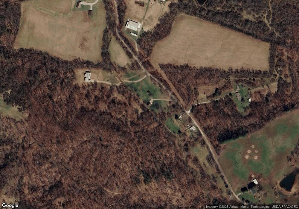
Map
Nearby Homes
- 77 First St
- 0 Layman Rd Unit 25046006
- 4801 Veto Rd
- 6570 State Route 339
- 2620 Burnett Rd
- 8030 State Route 339
- 550 Rocky Point Rd
- 2207 Veto Rd
- 232 Mcgill Rd
- 265 James Ln
- 10270 Ohio 550
- 1556 Mcgill Rd
- 852 Wallace Rd
- 111 T322
- 0 Clark Rd Unit 11683435
- 0 Clark Rd Unit 5180093
- 0 Ohio 555
- 280 Asher Ln
- 10507 Ohio 339
- 631 Short Brook Rd
- 1751 Roddy Rd
- 1542 Roddy Rd
- 1241 Roddy Rd
- 0 Township Road 240 Unit 3950478
- 1155 Roddy Rd
- 2096 Tick Ridge Rd
- 2027 Tick Ridge Rd
- 2065 Tick Ridge Rd
- 1790 Tick Ridge Rd
- 2288 Tick Ridge Rd
- 2110 Roddy Rd
- 2255 Tick Ridge Rd
- 2348 Tick Ridge Rd
- 2180 Roddy Rd
- 2064 Darnold Rd
- 2477 Tick Ridge Rd
- 2334 Roddy Rd
- 2570 Tick Ridge Rd
- 2417 Roddy Rd
- 2619 Tick Ridge Rd
Your Personal Tour Guide
Ask me questions while you tour the home.