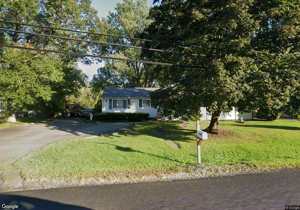
1440 State Route 57 Port Murray, NJ 07865
Estimated Value: $254,391 - $368,000
--
Bed
--
Bath
1,210
Sq Ft
$265/Sq Ft
Est. Value
About This Home
This home is located at 1440 State Route 57, Port Murray, NJ 07865 and is currently estimated at $320,348, approximately $264 per square foot. 1440 State Route 57 is a home located in Warren County with nearby schools including Mansfield Twp Elementary School, Warren Hills Regional Middle School, and Warren Hills Reg High School.
Ownership History
Date
Name
Owned For
Owner Type
Purchase Details
Closed on
Aug 15, 1997
Sold by
Mcguffin Walter
Bought by
Carrell Robert and Carrell Margaret
Current Estimated Value
Home Financials for this Owner
Home Financials are based on the most recent Mortgage that was taken out on this home.
Original Mortgage
$121,900
Outstanding Balance
$18,079
Interest Rate
7.42%
Mortgage Type
FHA
Estimated Equity
$302,269
Purchase Details
Closed on
Dec 19, 1994
Sold by
Hutcheson Robert F G and Hutcheson Jeanne A
Bought by
Mcguffin Walter
Create a Home Valuation Report for This Property
The Home Valuation Report is an in-depth analysis detailing your home's value as well as a comparison with similar homes in the area
Home Values in the Area
Average Home Value in this Area
Purchase History
| Date | Buyer | Sale Price | Title Company |
|---|---|---|---|
| Carrell Robert | $122,000 | -- | |
| Mcguffin Walter | $44,000 | -- |
Source: Public Records
Mortgage History
| Date | Status | Borrower | Loan Amount |
|---|---|---|---|
| Open | Carrell Robert | $121,900 |
Source: Public Records
Tax History Compared to Growth
Tax History
| Year | Tax Paid | Tax Assessment Tax Assessment Total Assessment is a certain percentage of the fair market value that is determined by local assessors to be the total taxable value of land and additions on the property. | Land | Improvement |
|---|---|---|---|---|
| 2025 | $5,136 | $145,200 | $60,800 | $84,400 |
| 2024 | $5,158 | $145,200 | $60,800 | $84,400 |
| 2023 | $5,066 | $145,200 | $60,800 | $84,400 |
| 2022 | $4,009 | $145,200 | $60,800 | $84,400 |
| 2021 | $5,022 | $145,200 | $60,800 | $84,400 |
| 2020 | $5,050 | $145,200 | $60,800 | $84,400 |
| 2019 | $4,886 | $145,200 | $60,800 | $84,400 |
| 2018 | $4,520 | $145,200 | $60,800 | $84,400 |
| 2017 | $4,783 | $145,200 | $60,800 | $84,400 |
| 2016 | $4,674 | $145,200 | $60,800 | $84,400 |
| 2015 | $4,575 | $145,200 | $60,800 | $84,400 |
| 2014 | $4,430 | $145,200 | $60,800 | $84,400 |
Source: Public Records
Map
Nearby Homes
- 1404 New Jersey 57
- 40 Heiser Rd
- 149 Old Turnpike Rd
- 50 Thomas Rd
- 2 Budd Ln
- 19 E Mill Rd
- 5 Settlers Ridge Ct
- 7 Settlers Ridge Ct
- 1 Heather Ct
- 17 Meadow Ln
- 389 Blau Rd
- 102 Mountain View Ln
- 13 Highland Ave
- 9 Brantwood Terrace
- 21 Highland Ave
- 3 Parkview Dr
- 25 Mountain View Ln
- 000 Pleasant Grove Rd
- 414 Rockport Rd
- 130 Kings Hwy
- 1442 State Route 57
- 1436 State Route 57
- 1432 State Route 57
- 1432 New Jersey 57
- 1441 State Route 57
- 1437 State Route 57
- 1430 State Route 57
- 1450 State Route 57
- 1450 New Jersey 57
- 1426 State Route 57
- 1429 State Route 57
- 3 River Ct
- 9 River Ct
- 1456 State Route 57
- 1458 New Jersey 57
- 1458 State Route 57
- 11 River Ct
- 1431 State Route 57
- 1431 New Jersey 57
- 1427 State Route 57