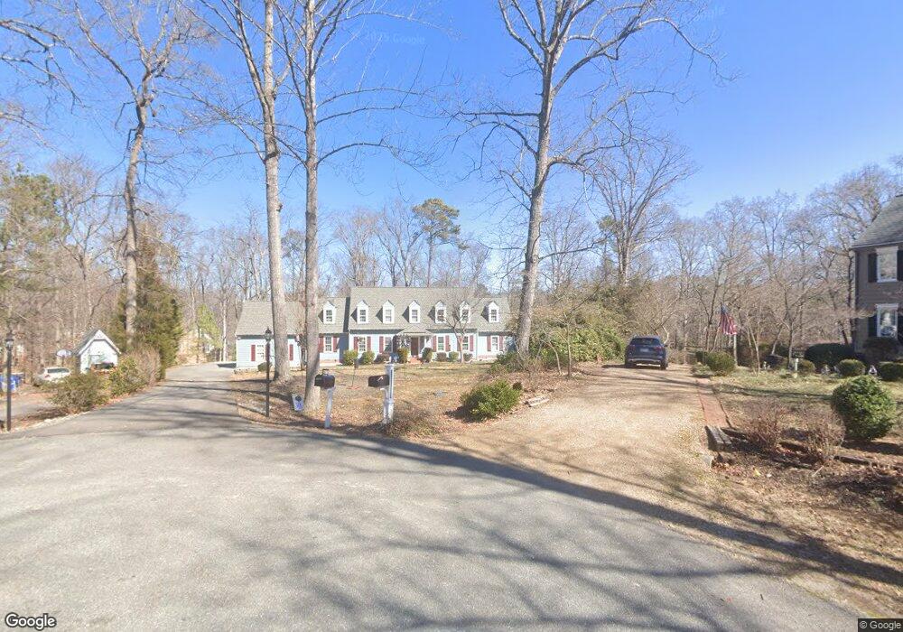
14402 Michaels Ridge Rd Midlothian, VA 23113
Salisbury NeighborhoodEstimated Value: $606,000 - $738,000
4
Beds
3
Baths
3,300
Sq Ft
$199/Sq Ft
Est. Value
About This Home
This home is located at 14402 Michaels Ridge Rd, Midlothian, VA 23113 and is currently estimated at $656,322, approximately $198 per square foot. 14402 Michaels Ridge Rd is a home located in Chesterfield County with nearby schools including Bettie Weaver Elementary School, Midlothian Middle School, and Midlothian High School.
Ownership History
Date
Name
Owned For
Owner Type
Purchase Details
Closed on
May 1, 2003
Sold by
Wilkin Neil
Bought by
Marusco Stephen
Current Estimated Value
Home Financials for this Owner
Home Financials are based on the most recent Mortgage that was taken out on this home.
Original Mortgage
$165,000
Outstanding Balance
$71,869
Interest Rate
5.82%
Mortgage Type
New Conventional
Estimated Equity
$584,453
Purchase Details
Closed on
May 28, 1999
Sold by
Robinson James B and Robinson Penelope D
Bought by
Wilkin Neil D and Wilkin Teena L
Home Financials for this Owner
Home Financials are based on the most recent Mortgage that was taken out on this home.
Original Mortgage
$180,000
Interest Rate
6.82%
Mortgage Type
New Conventional
Create a Home Valuation Report for This Property
The Home Valuation Report is an in-depth analysis detailing your home's value as well as a comparison with similar homes in the area
Home Values in the Area
Average Home Value in this Area
Purchase History
| Date | Buyer | Sale Price | Title Company |
|---|---|---|---|
| Marusco Stephen | $282,500 | -- | |
| Wilkin Neil D | $225,000 | -- |
Source: Public Records
Mortgage History
| Date | Status | Borrower | Loan Amount |
|---|---|---|---|
| Open | Wilkin Neil D | $165,000 | |
| Previous Owner | Wilkin Neil D | $180,000 |
Source: Public Records
Tax History Compared to Growth
Tax History
| Year | Tax Paid | Tax Assessment Tax Assessment Total Assessment is a certain percentage of the fair market value that is determined by local assessors to be the total taxable value of land and additions on the property. | Land | Improvement |
|---|---|---|---|---|
| 2025 | $4,796 | $536,100 | $111,100 | $425,000 |
| 2024 | $4,796 | $501,400 | $100,100 | $401,300 |
| 2023 | $4,403 | $483,800 | $100,100 | $383,700 |
| 2022 | $3,950 | $429,300 | $95,100 | $334,200 |
| 2021 | $3,711 | $383,700 | $93,100 | $290,600 |
| 2020 | $3,576 | $376,400 | $93,100 | $283,300 |
| 2019 | $3,408 | $358,700 | $91,100 | $267,600 |
| 2018 | $3,251 | $342,200 | $91,100 | $251,100 |
| 2017 | $3,276 | $341,200 | $90,100 | $251,100 |
| 2016 | $3,224 | $335,800 | $86,100 | $249,700 |
| 2015 | $3,209 | $331,700 | $86,100 | $245,600 |
| 2014 | $3,103 | $320,600 | $84,100 | $236,500 |
Source: Public Records
Map
Nearby Homes
- 16037 Aspect Way
- 16033 Aspect Way
- 16112 Esteem Way
- 1175 Cardinal Crest Terrace
- 1185 Cardinal Crest Terrace
- 16116 Esteem Way
- 521 Bel Crest Terrace
- 16106 Swallowtail Place
- 3200 Queens Grant Dr
- 14110 Netherfield Dr
- 3231 Queens Grant Dr
- 816 Founders Grant Place
- 3649 Derby Ridge Loop
- 3541 Kings Farm Dr
- 3020 Mount Hill Dr
- 14335 Lander Rd
- 13901 Dunkeld Terrace
- 16151 Founders Bridge Terrace
- 2206 Founders Bridge Rd
- 14560 Kenmont Dr
- 14400 Michaels Ridge Rd
- 14404 Michaels Ridge Rd
- 3404 Crossings Way Cir
- 14401 Michaels Ridge Rd
- 14406 Michaels Ridge Rd
- 3411 Winterfield Rd
- 14405 Roberts Mill Ct
- 3402 Crossings Way Cir
- 3403 Crossings Way Cir
- 14403 Roberts Mill Ct
- 14407 Roberts Mill Ct
- 14401 Roberts Mill Ct
- 3400 Crossings Way Cir
- 3304 Crossings Way
- 14405 Michaels Ridge Rd
- 3410 Winterfield Rd
- 3400 Winterfield Rd
- 3450 Winterfield Rd
- 14406 Roberts Mill Ct
- 14406 Roberts Mill Ct