14404 Burt Rd Chesaning, MI 48616
Estimated Value: $258,039 - $378,000
3
Beds
2
Baths
1,976
Sq Ft
$171/Sq Ft
Est. Value
About This Home
This home is located at 14404 Burt Rd, Chesaning, MI 48616 and is currently estimated at $338,760, approximately $171 per square foot. 14404 Burt Rd is a home located in Saginaw County with nearby schools including Big Rock Elementary School, Chesaning Middle School, and Chesaning Union High School.
Ownership History
Date
Name
Owned For
Owner Type
Purchase Details
Closed on
Apr 10, 2023
Sold by
Ware Stephanie
Bought by
Ware Stephanie and Ware Julie
Current Estimated Value
Purchase Details
Closed on
Oct 29, 1999
Sold by
Stoddard Mobile Court & Sales Inc
Bought by
Ware Stephanie A
Home Financials for this Owner
Home Financials are based on the most recent Mortgage that was taken out on this home.
Original Mortgage
$91,100
Interest Rate
7.78%
Create a Home Valuation Report for This Property
The Home Valuation Report is an in-depth analysis detailing your home's value as well as a comparison with similar homes in the area
Home Values in the Area
Average Home Value in this Area
Purchase History
| Date | Buyer | Sale Price | Title Company |
|---|---|---|---|
| Ware Stephanie | -- | Saginaw Bay Area Title | |
| Ware Stephanie A | $19,000 | Metropolitan Title Company | |
| -- | $19,000 | -- |
Source: Public Records
Mortgage History
| Date | Status | Borrower | Loan Amount |
|---|---|---|---|
| Previous Owner | -- | $91,100 |
Source: Public Records
Tax History Compared to Growth
Tax History
| Year | Tax Paid | Tax Assessment Tax Assessment Total Assessment is a certain percentage of the fair market value that is determined by local assessors to be the total taxable value of land and additions on the property. | Land | Improvement |
|---|---|---|---|---|
| 2025 | $2,814 | $106,400 | $0 | $0 |
| 2024 | $861 | $100,800 | $0 | $0 |
| 2023 | $820 | $102,000 | $0 | $0 |
| 2022 | $2,133 | $79,900 | $0 | $0 |
| 2021 | $1,992 | $71,300 | $0 | $0 |
| 2020 | $1,946 | $73,100 | $0 | $0 |
| 2019 | $1,868 | $71,800 | $15,900 | $55,900 |
| 2018 | $612 | $66,900 | $0 | $0 |
| 2017 | $1,672 | $65,400 | $0 | $0 |
| 2016 | $1,658 | $58,200 | $0 | $0 |
| 2014 | -- | $53,600 | $0 | $37,700 |
| 2013 | -- | $53,800 | $0 | $0 |
Source: Public Records
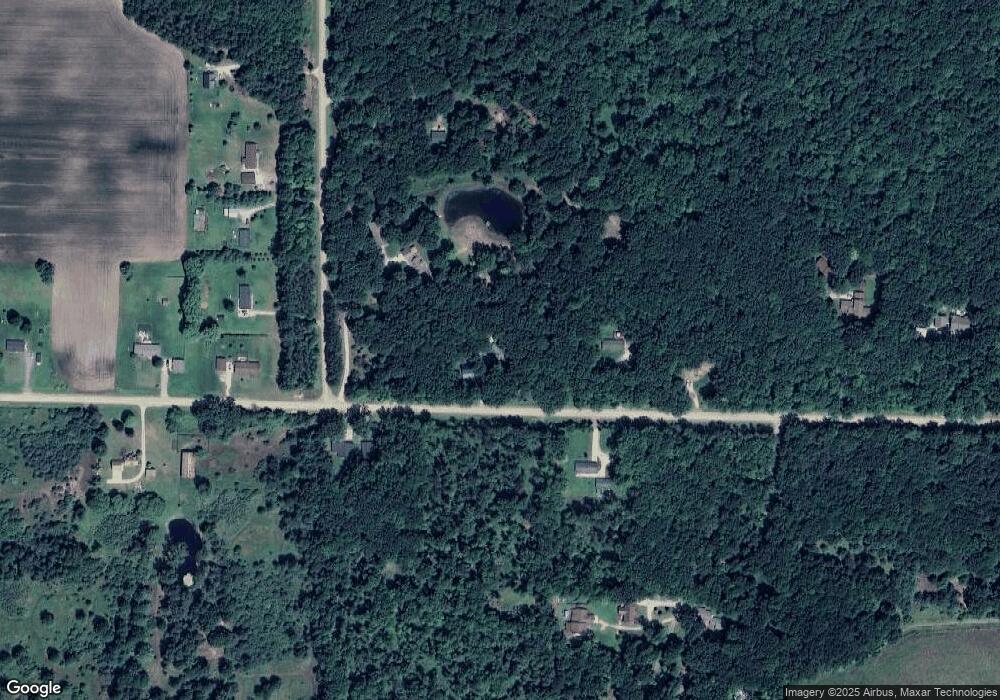
Map
Nearby Homes
- 12100 Raucholz Rd
- 13715 Baldwin Rd
- 15852 W Brant Rd
- 10854 S Hemlock Rd
- 10505 S Hemlock Rd
- 14550 W Brady Rd
- 12034 Carr Rd
- 14805 Brady Rd
- V/L #4 Brookshire Dr
- V/L #5 Brookshire Dr
- 13869 Hanchett Rd
- 12490 W Brady Rd
- 0 Arrowhead 1-A Dr Unit 50184284
- 0 Arrowhead 1-A Dr Unit 50184274
- 00 Oakley Rd
- 16395 Frandsche Rd
- 887 N 4th St
- 0 N 4th St
- V/L W Liberty St
- 910 W Brady Rd