1441 280th Ave West Point, IA 52656
Estimated Value: $275,000 - $511,404
3
Beds
2
Baths
2,060
Sq Ft
$174/Sq Ft
Est. Value
About This Home
This home is located at 1441 280th Ave, West Point, IA 52656 and is currently estimated at $359,101, approximately $174 per square foot. 1441 280th Ave is a home located in Lee County with nearby schools including Fort Madison High School.
Ownership History
Date
Name
Owned For
Owner Type
Purchase Details
Closed on
Nov 11, 2005
Sold by
Tucker Harold K and Tucker Betty C
Bought by
Krogmeier Tracy
Current Estimated Value
Home Financials for this Owner
Home Financials are based on the most recent Mortgage that was taken out on this home.
Original Mortgage
$25,500
Outstanding Balance
$13,965
Interest Rate
6.13%
Mortgage Type
Future Advance Clause Open End Mortgage
Estimated Equity
$345,136
Create a Home Valuation Report for This Property
The Home Valuation Report is an in-depth analysis detailing your home's value as well as a comparison with similar homes in the area
Purchase History
| Date | Buyer | Sale Price | Title Company |
|---|---|---|---|
| Krogmeier Tracy | $26,000 | None Available |
Source: Public Records
Mortgage History
| Date | Status | Borrower | Loan Amount |
|---|---|---|---|
| Open | Krogmeier Tracy | $25,500 |
Source: Public Records
Tax History
| Year | Tax Paid | Tax Assessment Tax Assessment Total Assessment is a certain percentage of the fair market value that is determined by local assessors to be the total taxable value of land and additions on the property. | Land | Improvement |
|---|---|---|---|---|
| 2025 | $3,156 | $335,870 | $44,000 | $291,870 |
| 2024 | $3,156 | $243,760 | $20,970 | $222,790 |
| 2023 | $2,794 | $243,760 | $20,970 | $222,790 |
| 2022 | $2,404 | $180,500 | $15,990 | $164,510 |
| 2021 | $2,404 | $180,500 | $15,990 | $164,510 |
| 2020 | $2,348 | $166,860 | $15,040 | $151,820 |
| 2019 | $2,236 | $177,190 | $25,370 | $151,820 |
| 2018 | $2,306 | $162,700 | $0 | $0 |
| 2017 | $2,222 | $156,760 | $0 | $0 |
| 2016 | $2,072 | $156,760 | $0 | $0 |
| 2015 | $2,072 | $158,720 | $0 | $0 |
| 2014 | $2,126 | $158,720 | $0 | $0 |
Source: Public Records
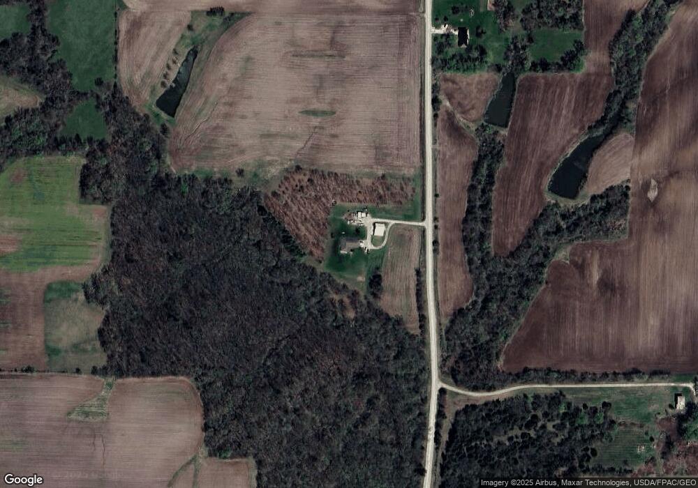
Map
Nearby Homes
- 106 Kilbourn Ave
- 1747 295th Ave
- 107 Franklin Broadway St
- 53 5th St
- 117 Country Lane Rd
- 22785 Dmc Highway 79
- 2280 Windmill Way
- 2278 Windmill Way
- 2004 295th Ave
- 2449 2nd St
- 2610 312th St
- 2042 St Paul 2nd St
- 200 South Dr
- 73 Acres S Highway 61
- 2794 221st St
- 203 & 205-207 Center St
- RR Woodland Heights Ct
- 0 Blues Highway & Bluff Rd
- 3 28th Place
- 2011 Avenue A
Your Personal Tour Guide
Ask me questions while you tour the home.