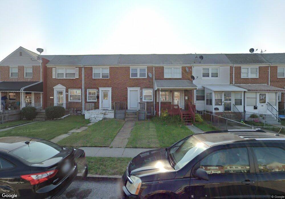
1441 Broening Hwy Baltimore, MD 21224
O'Donnell Heights NeighborhoodEstimated Value: $139,731 - $168,000
2
Beds
1
Bath
840
Sq Ft
$183/Sq Ft
Est. Value
About This Home
This home is located at 1441 Broening Hwy, Baltimore, MD 21224 and is currently estimated at $153,866, approximately $183 per square foot. 1441 Broening Hwy is a home located in Baltimore City with nearby schools including Holabird Elementary School, Booker T. Washington Middle School, and Patterson High School.
Ownership History
Date
Name
Owned For
Owner Type
Purchase Details
Closed on
Feb 12, 2021
Sold by
Ds Company Llc
Bought by
Zba Statutory Trusts
Current Estimated Value
Purchase Details
Closed on
Sep 12, 2007
Sold by
Hunter Dale
Bought by
Ds Company Llc
Purchase Details
Closed on
Mar 10, 1999
Sold by
Wilshire Servicing Fbo
Bought by
Hunter Dale
Purchase Details
Closed on
Jan 8, 1998
Sold by
Evans Everett D
Bought by
Wilshire Servicing Fbo and Sbrc Corp
Create a Home Valuation Report for This Property
The Home Valuation Report is an in-depth analysis detailing your home's value as well as a comparison with similar homes in the area
Home Values in the Area
Average Home Value in this Area
Purchase History
| Date | Buyer | Sale Price | Title Company |
|---|---|---|---|
| Zba Statutory Trusts | $46,285 | Commercial Title Company Llc | |
| Ds Company Llc | -- | -- | |
| Hunter Dale | $17,000 | -- | |
| Wilshire Servicing Fbo | $29,750 | -- |
Source: Public Records
Tax History Compared to Growth
Tax History
| Year | Tax Paid | Tax Assessment Tax Assessment Total Assessment is a certain percentage of the fair market value that is determined by local assessors to be the total taxable value of land and additions on the property. | Land | Improvement |
|---|---|---|---|---|
| 2025 | $2,198 | $82,000 | $15,000 | $67,000 |
| 2024 | $2,198 | $93,600 | $0 | $0 |
| 2023 | $2,062 | $87,800 | $0 | $0 |
| 2022 | $1,935 | $82,000 | $15,000 | $67,000 |
| 2021 | $1,847 | $78,267 | $0 | $0 |
| 2020 | $1,759 | $74,533 | $0 | $0 |
| 2019 | $1,663 | $70,800 | $15,000 | $55,800 |
| 2018 | $1,671 | $70,800 | $15,000 | $55,800 |
| 2017 | $1,671 | $70,800 | $0 | $0 |
| 2016 | $1,540 | $79,200 | $0 | $0 |
| 2015 | $1,540 | $74,467 | $0 | $0 |
| 2014 | $1,540 | $69,733 | $0 | $0 |
Source: Public Records
Map
Nearby Homes
- 6109 Bessemer Ave
- 1600 Charlotte Ave
- 6302 Brown Ave
- 6321 Brown Ave
- 6424 Bushey St
- 6628 Hartwait St
- 6705 Gary Ave
- 6707 1/2 Gary Ave
- 6714 Boston Ave
- 6609 Bushey St
- 6728 Boston Ave
- 5905 O Donnell St
- 6620 Bushey St
- 6700 Hudson St
- 724 Umbra St
- 705 Tolna St
- 6740 Brentwood Ave
- 6816 Boston Ave
- 714 Rappolla St
- 6817 Duluth Ave
- 1443 Broening Hwy
- 1439 Broening Hwy
- 1445 Broening Hwy
- 1437 Broening Hwy
- 1447 Broening Hwy
- 1435 Broening Hwy
- 1449 Broening Hwy
- 1433 Broening Hwy
- 1451 Broening Hwy
- 1431 Broening Hwy
- 1429 Broening Hwy
- 1427 Broening Hwy
- 1425 Broening Hwy
- 6112 Cardiff Ave
- 6108 Cardiff Ave
- 6110 Cardiff Ave
- 6106 Cardiff Ave
- 1423 Broening Hwy
- 6104 Cardiff Ave
- 6102 Cardiff Ave