1441 N Davis Ranch Ln Tahlequah, OK 74464
Estimated Value: $438,000 - $553,067
4
Beds
3
Baths
3,553
Sq Ft
$141/Sq Ft
Est. Value
About This Home
This home is located at 1441 N Davis Ranch Ln, Tahlequah, OK 74464 and is currently estimated at $501,267, approximately $141 per square foot. 1441 N Davis Ranch Ln is a home with nearby schools including Heritage Elementary School, Tahlequah Middle School, and Tahlequah High School.
Ownership History
Date
Name
Owned For
Owner Type
Purchase Details
Closed on
Aug 7, 2020
Sold by
Davis Ranch Subdivision Llc
Bought by
Pruitt Jered and Pruitt Terri
Current Estimated Value
Home Financials for this Owner
Home Financials are based on the most recent Mortgage that was taken out on this home.
Original Mortgage
$31,332
Outstanding Balance
$16,316
Interest Rate
3%
Mortgage Type
New Conventional
Estimated Equity
$484,951
Create a Home Valuation Report for This Property
The Home Valuation Report is an in-depth analysis detailing your home's value as well as a comparison with similar homes in the area
Home Values in the Area
Average Home Value in this Area
Purchase History
| Date | Buyer | Sale Price | Title Company |
|---|---|---|---|
| Pruitt Jered | $38,000 | None Available |
Source: Public Records
Mortgage History
| Date | Status | Borrower | Loan Amount |
|---|---|---|---|
| Open | Pruitt Jered | $31,332 |
Source: Public Records
Tax History Compared to Growth
Tax History
| Year | Tax Paid | Tax Assessment Tax Assessment Total Assessment is a certain percentage of the fair market value that is determined by local assessors to be the total taxable value of land and additions on the property. | Land | Improvement |
|---|---|---|---|---|
| 2025 | $3,904 | $49,461 | $4,585 | $44,876 |
| 2024 | $3,904 | $48,020 | $4,451 | $43,569 |
| 2023 | $3,904 | $46,621 | $4,180 | $42,441 |
| 2022 | $3,237 | $46,621 | $4,180 | $42,441 |
| 2021 | $297 | $4,180 | $4,180 | $0 |
| 2020 | $1 | $12 | $12 | $0 |
| 2019 | $1 | $11 | $11 | $0 |
| 2018 | $1 | $11 | $11 | $0 |
| 2017 | $1 | $10 | $10 | $0 |
| 2016 | $1 | $10 | $10 | $0 |
| 2015 | $1 | $9 | $9 | $0 |
| 2014 | $1 | $9 | $9 | $0 |
Source: Public Records
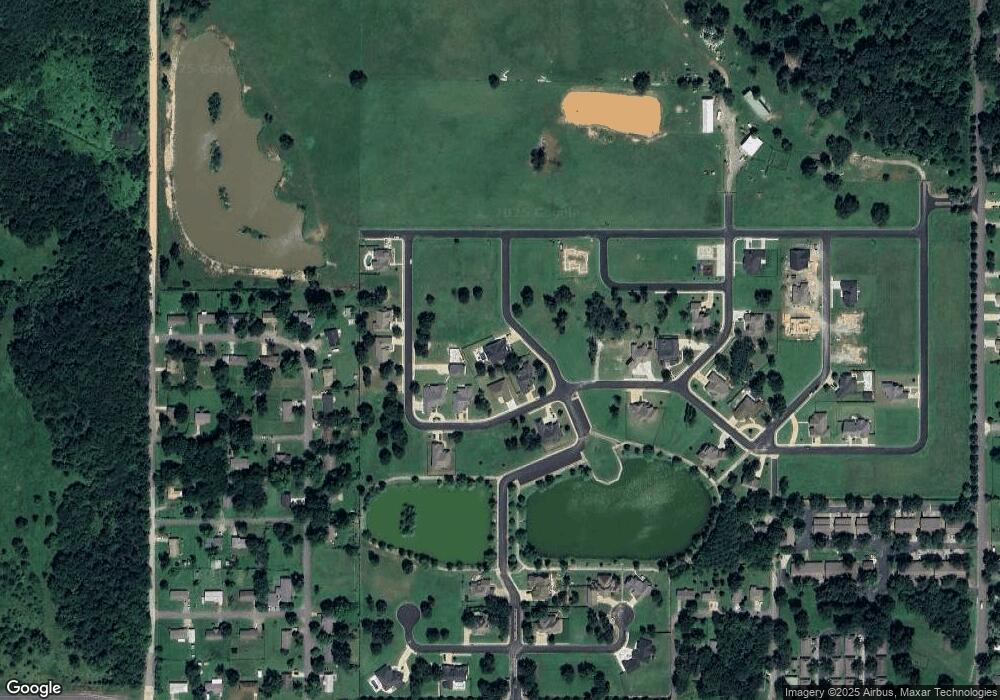
Map
Nearby Homes
- 2463 S Park Hill Rd
- 710 Jeffrey St
- 824 E Harlan Dr
- 4733 S Muskogee Ave
- 4731 S Muskogee Ave
- 4723 S Muskogee Ave
- 4717 S Muskogee Ave
- 4721 S Muskogee Ave
- 4729 S Muskogee Ave
- 4725 S Muskogee Ave
- 4727 S Muskogee Ave
- 4719 S Muskogee Ave
- 856 E Harlan Dr
- 2583 Ambers Way
- 874 E Harlan Dr
- 890 E Harlan Dr
- 2570 Ambers Way
- 14351 U S Highway 62
- 16133 U S Highway 62
- 2626 S Muskogee Ave
- 607 Rolling Hills Dr Unit C
- 609 Rolling Hills Dr
- 607 Rolling Hills Dr Unit A
- 607 Rolling Hills Dr Unit D
- 607 Rolling Hills Dr Unit B
- 609 Rolling Hills Dr Unit B
- 609 Rolling Hills Dr Unit C
- 609 Rolling Hills Dr Unit A
- 609 Rolling Hills Dr Unit C
- 607 Rolling Hills Dr Unit E
- 601 Rolling Hills Dr
- 1921 White Ave
- 1919 White Ave
- 1923 White Ave
- 603 Rolling Hills Dr
- 1917 White Ave
- 605 Rolling Hills Dr
- 2300 Larry Ave
- 2112 White Ave
- 1920 White Ave