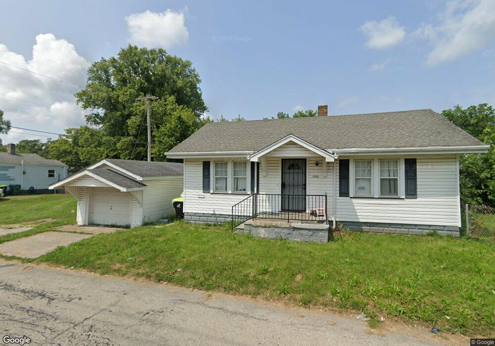
1441 N Poole St Decatur, IL 62526
Neighborhood Empowerment NeighborhoodEstimated Value: $33,000 - $48,000
1
Bed
1
Bath
816
Sq Ft
$53/Sq Ft
Est. Value
About This Home
This home is located at 1441 N Poole St, Decatur, IL 62526 and is currently estimated at $43,428, approximately $53 per square foot. 1441 N Poole St is a home located in Macon County with nearby schools including Stephen Decatur Middle School.
Ownership History
Date
Name
Owned For
Owner Type
Purchase Details
Closed on
May 23, 2022
Sold by
Eric Woodland
Bought by
Witherspoon Carlotta and Taylor Willie
Current Estimated Value
Purchase Details
Closed on
Apr 9, 2018
Sold by
Wilder Portia L
Bought by
Nagi Ahmed Ali Nasir
Purchase Details
Closed on
Nov 3, 2011
Sold by
Ministry And More Inc
Bought by
Wilder Portia L
Purchase Details
Closed on
Feb 28, 2008
Sold by
Lovin Arnold
Bought by
Ministry & More Inc
Purchase Details
Closed on
Nov 10, 2005
Sold by
Fryman Barbara J and Ball Mary Ann
Bought by
Mezzanine Leasing Inc
Purchase Details
Closed on
Jan 1, 1990
Create a Home Valuation Report for This Property
The Home Valuation Report is an in-depth analysis detailing your home's value as well as a comparison with similar homes in the area
Home Values in the Area
Average Home Value in this Area
Purchase History
| Date | Buyer | Sale Price | Title Company |
|---|---|---|---|
| Witherspoon Carlotta | -- | None Listed On Document | |
| Nagi Ahmed Ali Nasir | -- | None Available | |
| Wilder Portia L | $10,000 | None Available | |
| Wilder Portia L | $10,000 | None Available | |
| Ministry & More Inc | -- | None Available | |
| Mezzanine Leasing Inc | $10,000 | None Available | |
| -- | $10,000 | -- |
Source: Public Records
Tax History Compared to Growth
Tax History
| Year | Tax Paid | Tax Assessment Tax Assessment Total Assessment is a certain percentage of the fair market value that is determined by local assessors to be the total taxable value of land and additions on the property. | Land | Improvement |
|---|---|---|---|---|
| 2024 | $396 | $4,087 | $442 | $3,645 |
| 2023 | $392 | $3,942 | $426 | $3,516 |
| 2022 | $370 | $3,615 | $394 | $3,221 |
| 2021 | $347 | $3,376 | $368 | $3,008 |
| 2020 | $342 | $3,218 | $350 | $2,868 |
| 2019 | $342 | $3,218 | $350 | $2,868 |
| 2018 | $357 | $3,394 | $197 | $3,197 |
| 2017 | $365 | $3,484 | $202 | $3,282 |
| 2016 | $372 | $3,519 | $204 | $3,315 |
| 2015 | $314 | $3,068 | $135 | $2,933 |
| 2014 | $293 | $3,038 | $134 | $2,904 |
| 2013 | $301 | $3,152 | $139 | $3,013 |
Source: Public Records
Map
Nearby Homes
- 933 W Division St
- 837 W Grand Ave
- 1653 N Maple Ave
- 1545 N Monroe St
- 644 W Division St
- 1504 N Monroe St
- 1915 N Monroe St
- 1319 W Waggoner St
- 1245 N Union St
- 1535 N Mcclellan Ave
- 1065 W Green St
- 917 N Wilder Ave
- 1530 W Cushing St
- 875 N Monroe St
- 844 N Edward St
- 415 W Green St
- 230 W Garfield Ave
- 1558 N Main St
- 1568 N Main St
- 1645 W Center St
- 923 W Center St
- 915 W Center St
- 931 W Center St
- 1419 N Poole St
- 939 W Center St
- 1405 N Poole St
- 947 W Center St
- 928 W Waggoner St
- 920 W Waggoner St
- 955 W Center St
- 908 W Center St
- 934 W Waggoner St
- 946 W Waggoner St
- 904 W Center St
- 880 W Waggoner St
- 881 W Center St
- 1388 N Walnut Grove Ave
- 914 W Center St
- 922 W Center St
- 1380 N Walnut Grove Ave