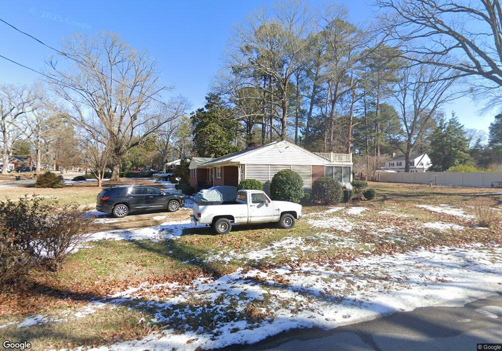
1441 Peace St Henderson, NC 27536
Estimated Value: $221,000 - $276,000
3
Beds
2
Baths
1,850
Sq Ft
$135/Sq Ft
Est. Value
About This Home
This home is located at 1441 Peace St, Henderson, NC 27536 and is currently estimated at $250,440, approximately $135 per square foot. 1441 Peace St is a home located in Vance County with nearby schools including E.M. Rollins Elementary School, Vance County Middle School, and Vance County High School.
Ownership History
Date
Name
Owned For
Owner Type
Purchase Details
Closed on
Feb 8, 2018
Sold by
Mendez Michael
Bought by
Green Paul S
Current Estimated Value
Home Financials for this Owner
Home Financials are based on the most recent Mortgage that was taken out on this home.
Original Mortgage
$77,435
Outstanding Balance
$65,580
Interest Rate
3.99%
Mortgage Type
Commercial
Estimated Equity
$184,860
Purchase Details
Closed on
May 1, 2006
Sold by
Riding Joan S and Riding Betty W
Bought by
Mendez Michael
Home Financials for this Owner
Home Financials are based on the most recent Mortgage that was taken out on this home.
Original Mortgage
$92,000
Interest Rate
9.62%
Mortgage Type
Adjustable Rate Mortgage/ARM
Create a Home Valuation Report for This Property
The Home Valuation Report is an in-depth analysis detailing your home's value as well as a comparison with similar homes in the area
Home Values in the Area
Average Home Value in this Area
Purchase History
| Date | Buyer | Sale Price | Title Company |
|---|---|---|---|
| Green Paul S | $91,100 | None Available | |
| Mendez Michael | $115,000 | -- |
Source: Public Records
Mortgage History
| Date | Status | Borrower | Loan Amount |
|---|---|---|---|
| Open | Green Paul S | $77,435 | |
| Previous Owner | Mendez Michael | $92,000 |
Source: Public Records
Tax History Compared to Growth
Tax History
| Year | Tax Paid | Tax Assessment Tax Assessment Total Assessment is a certain percentage of the fair market value that is determined by local assessors to be the total taxable value of land and additions on the property. | Land | Improvement |
|---|---|---|---|---|
| 2025 | $2,786 | $204,402 | $40,320 | $164,082 |
| 2024 | $2,911 | $204,402 | $40,320 | $164,082 |
| 2023 | $1,407 | $78,469 | $18,562 | $59,907 |
| 2022 | $1,377 | $78,469 | $18,562 | $59,907 |
| 2021 | $1,257 | $78,469 | $18,562 | $59,907 |
| 2020 | $1,374 | $78,469 | $18,562 | $59,907 |
| 2019 | $1,369 | $78,469 | $18,562 | $59,907 |
| 2018 | $1,257 | $78,469 | $18,562 | $59,907 |
| 2017 | $1,362 | $78,469 | $18,562 | $59,907 |
| 2016 | $1,362 | $78,469 | $18,562 | $59,907 |
| 2015 | $1,921 | $138,030 | $44,687 | $93,343 |
| 2014 | $2,054 | $138,028 | $44,687 | $93,341 |
Source: Public Records
Map
Nearby Homes
- 1408 Parker Ln
- 1542 Oakdale Cir
- 1530 Oakdale Cir
- 1704 Cypress Dr
- 1220 Roanoke Ave
- 1744 Parker Ln
- 924 Buckhorn St
- 321 Willowood Dr
- 1125 Beacon Ave
- 2118 N Woodland Rd
- 307 Yowland Rd
- 818 Wakefield Ave
- 113 Fox Run
- 1115 Park Ave
- 860 Nelson St
- 906 Abbott St
- 552 Thomas St
- 00 High St
- 3002 Sidney Hill
- 910 Parham St