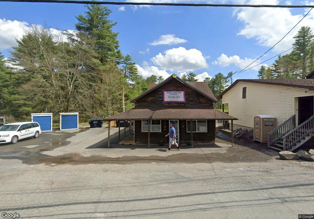
1441 Pennsylvania 590 Hawley, PA 18428
Estimated Value: $593,358
8
Beds
4
Baths
7,200
Sq Ft
$82/Sq Ft
Est. Value
About This Home
This home is located at 1441 Pennsylvania 590, Hawley, PA 18428 and is currently priced at $593,358, approximately $82 per square foot. 1441 Pennsylvania 590 is a home located in Pike County with nearby schools including Wallenpaupack Area High School.
Ownership History
Date
Name
Owned For
Owner Type
Purchase Details
Closed on
Nov 1, 2024
Sold by
1441 Route 590 Holdings Llc
Bought by
Cm & Ra Holdings Llc
Current Estimated Value
Home Financials for this Owner
Home Financials are based on the most recent Mortgage that was taken out on this home.
Original Mortgage
$512,000
Outstanding Balance
$507,092
Interest Rate
6.32%
Mortgage Type
Credit Line Revolving
Create a Home Valuation Report for This Property
The Home Valuation Report is an in-depth analysis detailing your home's value as well as a comparison with similar homes in the area
Home Values in the Area
Average Home Value in this Area
Purchase History
| Date | Buyer | Sale Price | Title Company |
|---|---|---|---|
| Cm & Ra Holdings Llc | $445,000 | None Listed On Document | |
| Cm & Ra Holdings Llc | $445,000 | None Listed On Document |
Source: Public Records
Mortgage History
| Date | Status | Borrower | Loan Amount |
|---|---|---|---|
| Open | Cm & Ra Holdings Llc | $512,000 | |
| Closed | Cm & Ra Holdings Llc | $512,000 |
Source: Public Records
Tax History Compared to Growth
Tax History
| Year | Tax Paid | Tax Assessment Tax Assessment Total Assessment is a certain percentage of the fair market value that is determined by local assessors to be the total taxable value of land and additions on the property. | Land | Improvement |
|---|---|---|---|---|
| 2025 | $8,687 | $72,980 | $9,900 | $63,080 |
| 2024 | $8,687 | $72,980 | $9,900 | $63,080 |
| 2023 | $8,377 | $72,980 | $9,900 | $63,080 |
| 2022 | $9,275 | $82,600 | $16,880 | $65,720 |
| 2021 | $9,110 | $82,600 | $16,880 | $65,720 |
| 2020 | $9,110 | $82,600 | $16,880 | $65,720 |
| 2019 | $8,838 | $82,600 | $16,880 | $65,720 |
| 2018 | $8,701 | $82,600 | $16,880 | $65,720 |
| 2017 | $8,447 | $82,600 | $16,880 | $65,720 |
| 2016 | $0 | $82,600 | $16,880 | $65,720 |
| 2014 | -- | $82,600 | $16,880 | $65,720 |
Source: Public Records
Map
Nearby Homes
- Lot #2 Rebels Rd
- 214 Lower Lakeview Dr
- 100 W Colang Ct
- 262 Fawn Lake Dr
- 130 Laurel Cir
- Lot 75 Laurel Cir
- 138 Laurel Cir
- 203 Upper Lakeview Dr
- 137 Oak Ridge Cir
- 120 Forest View Dr
- 255 Fawn Lake Dr
- Lot 58 Oakridge Cir
- 102 Oakridge Cir
- 72 & 73 Chippewa Ct
- 166 Lower Lakeview Dr
- 130 Lower Lakeview Dr
- 0 Blue Eddy Rd
- 0 Hidden Hollow Rd
- 110 Forest View Dr
- Lot 35 Westcolang Rd
- 1441 Route 590
- 1441 Route 590
- 1433 Route 590
- 1424 Route 590
- 1422 Route 590
- 107 Thistle Dew Ln
- 1458 Route 590
- 1458 Route 590
- 1406 Route 590
- 1464 Route 590
- 1404 Route 590
- 589 Westcolang Rd
- 1400 Route 590
- 102 Rebels Rd
- 1396 Route 590
- 1394 Route 590
- 124 Corkys Rd
- 1390 Route 590
- 299 Fawn Lake Dr
- 573 Westcolang Rd