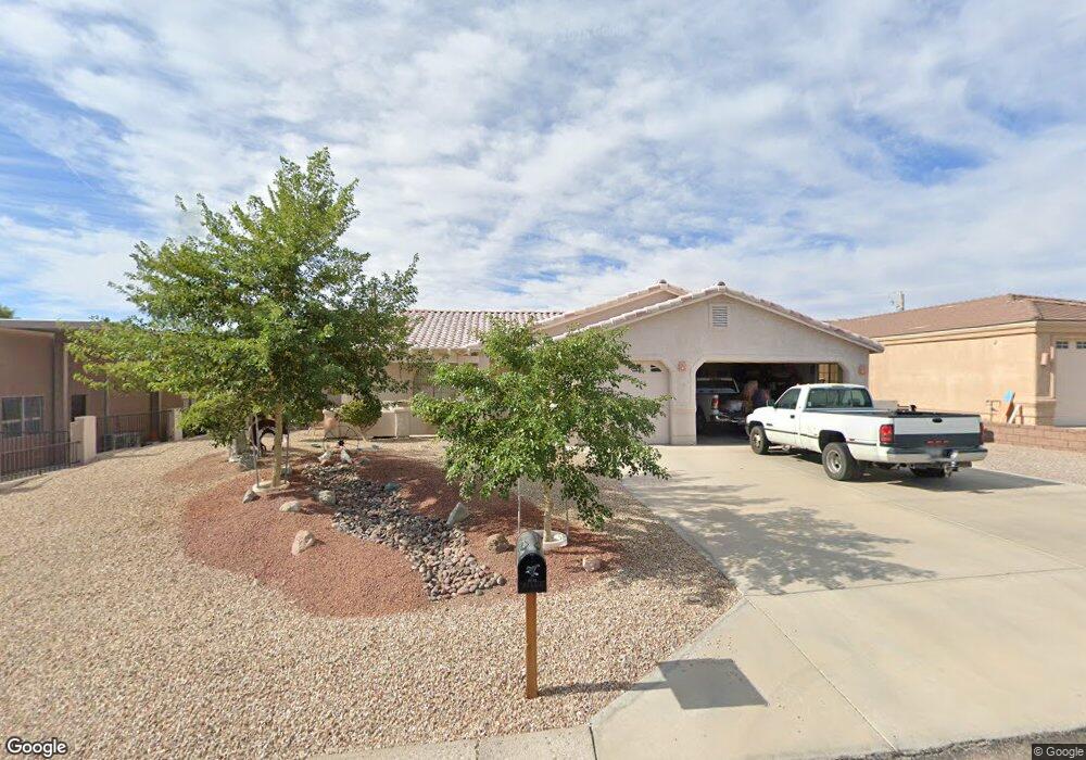
1441 Tamarack Dr Lake Havasu City, AZ 86404
Estimated Value: $499,215 - $624,000
3
Beds
2
Baths
1,491
Sq Ft
$379/Sq Ft
Est. Value
About This Home
This home is located at 1441 Tamarack Dr, Lake Havasu City, AZ 86404 and is currently estimated at $564,804, approximately $378 per square foot. 1441 Tamarack Dr is a home located in Mohave County with nearby schools including Nautilus Elementary School, Thunderbolt Middle School, and Lake Havasu High School.
Ownership History
Date
Name
Owned For
Owner Type
Purchase Details
Closed on
May 4, 2004
Sold by
Maxson Roger G and Maxson Shirley M
Bought by
Sauter Thomas E
Current Estimated Value
Home Financials for this Owner
Home Financials are based on the most recent Mortgage that was taken out on this home.
Original Mortgage
$159,900
Interest Rate
5.38%
Mortgage Type
New Conventional
Purchase Details
Closed on
Jan 7, 1999
Sold by
Glascock Robert S and Glascock Dorothy M
Bought by
Maxson Roger G and Maxson Shirley M
Create a Home Valuation Report for This Property
The Home Valuation Report is an in-depth analysis detailing your home's value as well as a comparison with similar homes in the area
Home Values in the Area
Average Home Value in this Area
Purchase History
| Date | Buyer | Sale Price | Title Company |
|---|---|---|---|
| Sauter Thomas E | $259,900 | Capital Title Agency Inc | |
| Maxson Roger G | $25,200 | Transnation Title Ins Co |
Source: Public Records
Mortgage History
| Date | Status | Borrower | Loan Amount |
|---|---|---|---|
| Closed | Sauter Thomas E | $159,900 |
Source: Public Records
Tax History Compared to Growth
Tax History
| Year | Tax Paid | Tax Assessment Tax Assessment Total Assessment is a certain percentage of the fair market value that is determined by local assessors to be the total taxable value of land and additions on the property. | Land | Improvement |
|---|---|---|---|---|
| 2026 | -- | -- | -- | -- |
| 2025 | $1,728 | $0 | $0 | $0 |
| 2024 | $1,728 | $47,615 | $0 | $0 |
| 2023 | $1,728 | $39,194 | $0 | $0 |
| 2022 | $1,664 | $30,462 | $0 | $0 |
| 2021 | $1,872 | $27,363 | $0 | $0 |
| 2019 | $1,778 | $23,934 | $0 | $0 |
| 2018 | $2,037 | $23,775 | $0 | $0 |
| 2017 | $2,017 | $23,191 | $0 | $0 |
| 2016 | $1,824 | $21,922 | $0 | $0 |
| 2015 | $1,747 | $19,788 | $0 | $0 |
Source: Public Records
Map
Nearby Homes
- 1361 Tamarack Dr
- 1851 Laramie Dr
- 1485 Wagner Dr
- 1790 Cessna Bay
- 1825 Deer Run Dr
- 1718 Sailing Hawks Dr
- 1811 Westport Dr
- 1329 Piper Dr
- 1733 Sailing Hawks Dr
- 1415 King Dr
- 1659 Kirk Dr
- 1601 Sailing Hawks Dr
- 1601 Sailing Hawks Dr Unit 14
- 1670 Kirk Dr
- 1651 Sailing Hawks Dr Unit 139
- 1651 Sailing Hawks Dr
- 1948 Burgundy Dr
- 1250 Park Terrace Ave
- 1650 Sailing Hawk Dr Unit 133
- 1851 Dion Dr
- 1451 Tamarack Dr
- 1431 Tamarack Dr
- 1799 Boeing Bay
- 1790 Boeing Bay
- 1461 Tamarack Dr
- 1421 Tamarack Dr
- 1785 Boeing Bay
- 1782 Lockheed Bay
- 1782 Lockheed Bay
- 1790 Lockheed Bay
- 1790 Lockheed Bay
- 1766 Lockheed Bay
- 1481 Tamarack Dr
- 1763 Boeing Bay
- 1411 Tamarack Dr
- 1752 Lockheed Bay
- 1460 Tamarack Dr
- 1764 Boeing Bay
- 1764 Boeing Bay
- 1491 Tamarack Dr