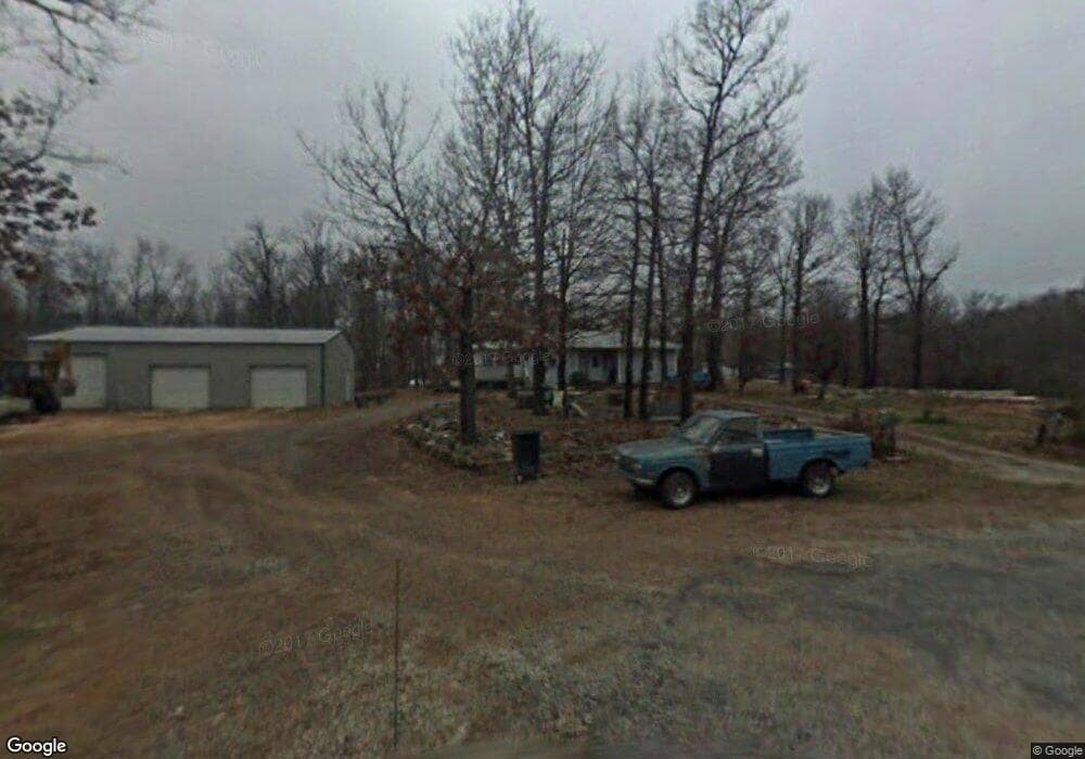
14411 Mulberry Cir Fayetteville, AR 72704
Savoy NeighborhoodEstimated Value: $319,992 - $450,000
--
Bed
2
Baths
2,264
Sq Ft
$160/Sq Ft
Est. Value
About This Home
This home is located at 14411 Mulberry Cir, Fayetteville, AR 72704 and is currently estimated at $362,498, approximately $160 per square foot. 14411 Mulberry Cir is a home located in Washington County with nearby schools including Randall G. Lynch Middle School, Jerry Pop Williams Elementary School, and Farmington Jr. High.
Ownership History
Date
Name
Owned For
Owner Type
Purchase Details
Closed on
Feb 14, 2011
Sold by
Niccum Kenneth R and Niccum Linda L
Bought by
Hampton Sheryl R
Current Estimated Value
Purchase Details
Closed on
Jan 19, 2004
Sold by
Niccum Linda L and Niccum Kenneth
Bought by
Niccum Kenneth and Niccum Linda L
Home Financials for this Owner
Home Financials are based on the most recent Mortgage that was taken out on this home.
Original Mortgage
$74,028
Interest Rate
5.9%
Mortgage Type
Stand Alone Refi Refinance Of Original Loan
Purchase Details
Closed on
Aug 18, 1988
Bought by
Neal Linda L
Purchase Details
Closed on
Jan 1, 1985
Bought by
Niccum Kenneth R and Niccum Linda L
Create a Home Valuation Report for This Property
The Home Valuation Report is an in-depth analysis detailing your home's value as well as a comparison with similar homes in the area
Home Values in the Area
Average Home Value in this Area
Purchase History
| Date | Buyer | Sale Price | Title Company |
|---|---|---|---|
| Hampton Sheryl R | -- | None Available | |
| Niccum Kenneth | -- | -- | |
| Neal Linda L | -- | -- | |
| Niccum Kenneth R | -- | -- |
Source: Public Records
Mortgage History
| Date | Status | Borrower | Loan Amount |
|---|---|---|---|
| Previous Owner | Niccum Kenneth | $74,028 |
Source: Public Records
Tax History Compared to Growth
Tax History
| Year | Tax Paid | Tax Assessment Tax Assessment Total Assessment is a certain percentage of the fair market value that is determined by local assessors to be the total taxable value of land and additions on the property. | Land | Improvement |
|---|---|---|---|---|
| 2025 | $2,113 | $50,410 | $10,640 | $39,770 |
| 2024 | $1,967 | $53,000 | $10,640 | $42,360 |
| 2023 | $1,872 | $53,000 | $10,640 | $42,360 |
| 2022 | $1,832 | $35,760 | $5,950 | $29,810 |
| 2021 | $1,711 | $35,760 | $5,950 | $29,810 |
| 2020 | $1,579 | $35,760 | $5,950 | $29,810 |
| 2019 | $1,453 | $26,940 | $5,650 | $21,290 |
| 2018 | $1,453 | $26,940 | $5,650 | $21,290 |
| 2017 | $1,309 | $26,940 | $5,650 | $21,290 |
| 2016 | $1,439 | $26,940 | $5,650 | $21,290 |
| 2015 | $1,439 | $26,940 | $5,650 | $21,290 |
| 2014 | $1,395 | $26,030 | $6,580 | $19,450 |
Source: Public Records
Map
Nearby Homes
- 2765 W Emil Dr
- 16029 Pin Oak Rd
- 16018 Walnut Dr
- 15511 Red Fox Dr
- 16135 Willow Cir
- 16078 Hickory Dr
- Lot 2 Wooded Ln
- Lot 1 Wooded Ln
- Lot 13 Wooded Ln
- 14696 Greenburrow Rd
- 9196 W Forest Hills Dr
- TBD N Ua Beef Farm (Wc 845) Rd
- 9299 W Forest Hills Dr
- 0 Ln
- 536 N Fox Meadows Ln
- 8767 W Athens Ln
- 2278 Overlook Way
- 13056 Wc Road 859
- TBD Wc Road 859
- 748 N Ed Moore Ln
- 0 Apple Ln
- 201 E Appley Rd Unit 34
- 15910 Plum Cir
- 15930 Apple Wc 2179 Ln
- 15832 Pear Cir
- 15883 Pear Cir
- 15840 Pear Cir
- 15930 Apple Ln
- 16043 Apple Ln
- 15944 Cherry Cir
- 14459 Dogwood Dr
- 15971 Windsock Ln
- 16031 Windsock Ln
- 1358 Plum Cir
- 2789 W Emil Dr
- 2492 N Adams Rd
- 14299 Dogwood Dr
- 15951 Cherry Cir
- 14534 Dogwood Dr
- 15945 Cherry Cir