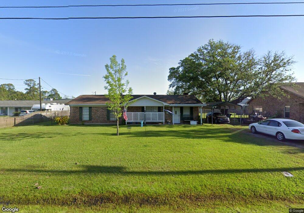
14412 Goff St Biloxi, MS 39532
Estimated Value: $181,629 - $253,000
Studio
2
Baths
1,458
Sq Ft
$147/Sq Ft
Est. Value
About This Home
This home is located at 14412 Goff St, Biloxi, MS 39532 and is currently estimated at $213,907, approximately $146 per square foot. 14412 Goff St is a home located in Jackson County with nearby schools including St Martin East Elementary School, St Martin North Elementary School, and St Martin Upper Elementary School.
Ownership History
Date
Name
Owned For
Owner Type
Purchase Details
Closed on
Jul 8, 2019
Sold by
Sellers-Spiers Nonnie
Bought by
Spiers Curtis L
Current Estimated Value
Purchase Details
Closed on
Aug 23, 2017
Bought by
Russell Meaghan and Russell Steven
Home Financials for this Owner
Home Financials are based on the most recent Mortgage that was taken out on this home.
Original Mortgage
$96,224
Interest Rate
3.89%
Create a Home Valuation Report for This Property
The Home Valuation Report is an in-depth analysis detailing your home's value as well as a comparison with similar homes in the area
Home Values in the Area
Average Home Value in this Area
Purchase History
| Date | Buyer | Sale Price | Title Company |
|---|---|---|---|
| Spiers Curtis L | -- | -- | |
| Russell Meaghan | -- | -- |
Source: Public Records
Mortgage History
| Date | Status | Borrower | Loan Amount |
|---|---|---|---|
| Previous Owner | Russell Meaghan | $96,224 | |
| Previous Owner | Russell Meaghan | -- |
Source: Public Records
Tax History
| Year | Tax Paid | Tax Assessment Tax Assessment Total Assessment is a certain percentage of the fair market value that is determined by local assessors to be the total taxable value of land and additions on the property. | Land | Improvement |
|---|---|---|---|---|
| 2025 | $160 | $10,275 | $1,835 | $8,440 |
| 2024 | $160 | $9,649 | $1,786 | $7,863 |
| 2023 | $162 | $9,649 | $1,786 | $7,863 |
| 2022 | $157 | $8,826 | $0 | $0 |
| 2021 | $157 | $8,826 | $8,826 | $0 |
| 2020 | $163 | $8,826 | $1,653 | $7,173 |
| 2019 | $162 | $8,826 | $1,653 | $7,173 |
| 2018 | $165 | $8,826 | $1,653 | $7,173 |
| 2017 | $167 | $8,826 | $1,653 | $7,173 |
| 2016 | $161 | $8,826 | $1,653 | $7,173 |
| 2015 | $36 | $77,970 | $16,530 | $61,440 |
| 2014 | $36 | $7,797 | $1,653 | $6,144 |
| 2013 | $34 | $7,797 | $1,653 | $6,144 |
Source: Public Records
Map
Nearby Homes
- No Cullens St
- No Goff St
- 14209 Big Ridge Rd
- 0000 Cook Rd
- 0
- 13600 Money Farm Rd
- 14309 Parker Rd
- 0 Mallett Rd
- 14304 Mallett Rd
- 14320 Mallett Rd
- 6816 Southwind Dr
- 000 Pine Ridge Parker Rd
- 0 W Diane Dr Unit 4120993
- 14449 Pine Ridge Rd
- 7116 Knollwood Dr
- 14804 Parker Rd
- 16317 Lemoyne Blvd
- 16005 Lemoyne Blvd
- Nhn Lemoyne Blvd
- 14125 Cerro Verde Dr
- 14416 Goff St
- 14408 Goff St
- 14417 Cullens St
- 14417 Cullens St
- 14417 Cullen St
- LOT 21 Lot 21 Goff
- 14413 Goff St
- 0 Goff St
- 14417 Goff St
- 14409 Goff St
- 14409 Goff St
- 14405 Cullen St
- 14501 Goff St
- 14405 Goff St
- 14401 Cullen St Unit B
- 14401 Cullen St Unit A
- 14401 Cullen St
- 7503 Parkridge Dr
- 14408 Cullen St
- 7503 Park Ridge Dr
Your Personal Tour Guide
Ask me questions while you tour the home.