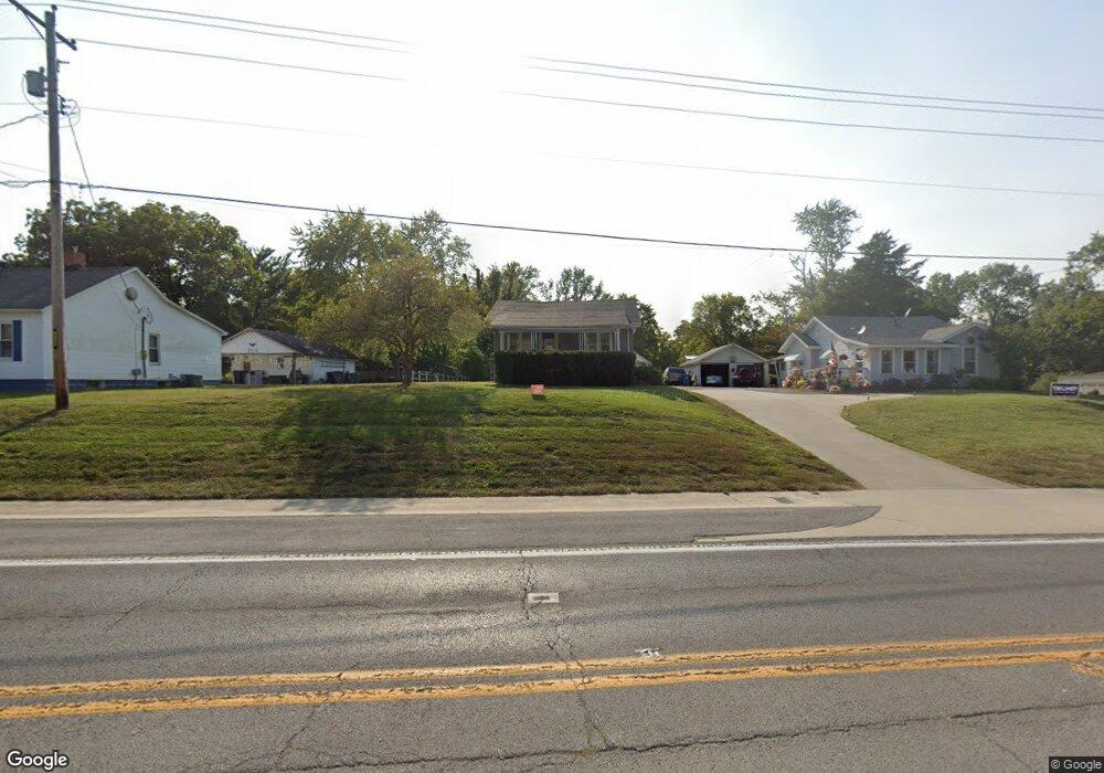
14413 N Il Highway 37 Mount Vernon, IL 62864
Estimated Value: $84,000 - $105,000
--
Bed
--
Bath
--
Sq Ft
0.93
Acres
About This Home
This home is located at 14413 N Il Highway 37, Mount Vernon, IL 62864 and is currently estimated at $94,814. 14413 N Il Highway 37 is a home located in Jefferson County with nearby schools including Osborne Primary Center, J.L. Buford Intermediate Education Center, and Zadok Casey Middle School.
Ownership History
Date
Name
Owned For
Owner Type
Purchase Details
Closed on
Aug 30, 2011
Sold by
Burge Sherry and Burge John S
Bought by
Hall Jody K and Hall Jacqueline M
Current Estimated Value
Home Financials for this Owner
Home Financials are based on the most recent Mortgage that was taken out on this home.
Original Mortgage
$35,833
Outstanding Balance
$24,922
Interest Rate
4.59%
Mortgage Type
Future Advance Clause Open End Mortgage
Estimated Equity
$69,892
Purchase Details
Closed on
Jun 29, 2005
Sold by
Newton Jack
Bought by
Burge John S and Burge Sherry
Home Financials for this Owner
Home Financials are based on the most recent Mortgage that was taken out on this home.
Original Mortgage
$41,820
Interest Rate
5.75%
Mortgage Type
New Conventional
Create a Home Valuation Report for This Property
The Home Valuation Report is an in-depth analysis detailing your home's value as well as a comparison with similar homes in the area
Home Values in the Area
Average Home Value in this Area
Purchase History
| Date | Buyer | Sale Price | Title Company |
|---|---|---|---|
| Hall Jody K | $35,000 | None Available | |
| Burge John S | $41,000 | None Available |
Source: Public Records
Mortgage History
| Date | Status | Borrower | Loan Amount |
|---|---|---|---|
| Open | Hall Jody K | $35,833 | |
| Previous Owner | Burge John S | $41,820 |
Source: Public Records
Tax History Compared to Growth
Tax History
| Year | Tax Paid | Tax Assessment Tax Assessment Total Assessment is a certain percentage of the fair market value that is determined by local assessors to be the total taxable value of land and additions on the property. | Land | Improvement |
|---|---|---|---|---|
| 2024 | $1,167 | $14,476 | $4,066 | $10,410 |
| 2023 | $1,087 | $13,364 | $3,754 | $9,610 |
| 2022 | $1,048 | $11,723 | $3,293 | $8,430 |
| 2021 | $1,000 | $11,165 | $3,136 | $8,029 |
| 2020 | $1,000 | $10,435 | $2,931 | $7,504 |
| 2019 | $985 | $10,435 | $2,931 | $7,504 |
| 2018 | $969 | $10,435 | $2,931 | $7,504 |
| 2017 | $948 | $10,435 | $2,931 | $7,504 |
| 2016 | $927 | $10,435 | $2,931 | $7,504 |
| 2015 | $908 | $10,435 | $2,931 | $7,504 |
| 2014 | $397 | $10,435 | $2,931 | $7,504 |
| 2013 | $397 | $9,844 | $2,765 | $7,079 |
Source: Public Records
Map
Nearby Homes
- 6 Brookhaven Dr
- 10 Homestead Dr
- 10 Edgewood Rd
- 12152 E Meadows Dr
- 2004 N Woods Place
- 2006 N Woods Place
- 8 Northbrook Dr
- 1812 Franklin Ave
- 1800 Franklin Ave
- 1909 Olive St
- 19 Wildwood Dr
- 2 Webster Hill St E
- 713 N 10th St
- 0000 N 27th St
- 3501 (Lot 11) Ridgecrest Dr
- 3401 (Lot 13) Ridgecrest Dr
- 3601 (Lot 9) Ridgecrest Dr
- 3600 (Lot18) Ridgecrest Dr
- 3551 (Lot 10) Ridgecrest Dr
- 3440 (Lot 14) Ridgecrest Dr
- 14419 N Il Highway 37
- 1607 Salem Rd
- 1605 Salem Rd
- 1727 Salem Rd
- 14425 N Il Highway 37
- 1712 Salem Rd
- 1716 Salem Rd
- 1708 Salem Rd
- 1604 Salem Rd
- 1818 Salem Rd
- 5 W Adams Ct
- 5 W Adams Ct
- 7 W Adams Ct
- 14451 N Il Highway 37
- 3 W Adams Ct
- 14475 N Il Highway 37
- 6 W Adams Ct
- 24 Homestead Dr
- 8 W Adams Ct
- 1 Brookhaven Dr