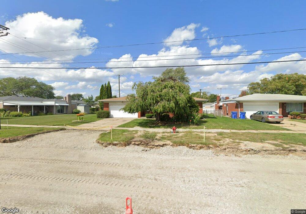
14417 Common Rd Warren, MI 48088
Northeast Warren NeighborhoodEstimated Value: $285,544 - $307,000
3
Beds
2
Baths
1,715
Sq Ft
$173/Sq Ft
Est. Value
About This Home
This home is located at 14417 Common Rd, Warren, MI 48088 and is currently estimated at $297,136, approximately $173 per square foot. 14417 Common Rd is a home located in Macomb County with nearby schools including Warren Woods Tower High School, Warren Woods Christian School, and De La Salle Collegiate.
Ownership History
Date
Name
Owned For
Owner Type
Purchase Details
Closed on
Sep 12, 2006
Sold by
Verougstraete Frank C and Verougstraete Debra A
Bought by
Frank C Verougstraete And Debra A Verougstrae and Verougstraete
Current Estimated Value
Purchase Details
Closed on
Jul 31, 1996
Sold by
Gronzenski F and Gronzenski M
Bought by
Verougstraete F and Verougstraete D
Create a Home Valuation Report for This Property
The Home Valuation Report is an in-depth analysis detailing your home's value as well as a comparison with similar homes in the area
Home Values in the Area
Average Home Value in this Area
Purchase History
| Date | Buyer | Sale Price | Title Company |
|---|---|---|---|
| Frank C Verougstraete And Debra A Verougstrae | -- | None Listed On Document | |
| Frank C Verougstraete And Debra A Verougstrae | -- | None Listed On Document | |
| Verougstraete F | $140,000 | -- |
Source: Public Records
Tax History
| Year | Tax Paid | Tax Assessment Tax Assessment Total Assessment is a certain percentage of the fair market value that is determined by local assessors to be the total taxable value of land and additions on the property. | Land | Improvement |
|---|---|---|---|---|
| 2025 | $4,054 | $146,940 | $0 | $0 |
| 2024 | $40 | $133,280 | $0 | $0 |
| 2023 | $3,737 | $123,880 | $0 | $0 |
| 2022 | $3,664 | $108,240 | $0 | $0 |
| 2021 | $3,596 | $101,210 | $0 | $0 |
| 2020 | $3,446 | $98,170 | $0 | $0 |
| 2019 | $3,292 | $94,280 | $0 | $0 |
| 2018 | $3,325 | $89,570 | $0 | $0 |
| 2017 | $3,145 | $85,510 | $12,600 | $72,910 |
| 2016 | $3,121 | $85,510 | $0 | $0 |
| 2015 | -- | $74,350 | $0 | $0 |
| 2012 | -- | $60,180 | $0 | $0 |
Source: Public Records
Map
Nearby Homes
- 30310 Valenti Dr
- 14066 Castle Ave
- 30139 Flanders Ave
- 14135 Ivanhoe Dr
- 14108 La Chene Ave
- 29448 El Dorado Plaza
- 29200 Gloede Dr Unit 135
- 29454 Scarborough Dr Unit 7
- 15180 Raphael Terrace
- 15195 La Grande Plaza
- 29225 Hayes Rd Unit 11
- 29257 Hayes Rd Unit J6
- 30988 Moroso Dr
- 30607 Glenwood Cir
- 30650 Glenwood Cir
- 29101 Hayes Rd
- 31077 Shawn Dr
- 30644 Hayes Rd
- 15218 Canberra St
- 15253 Grovedale St
- 14429 Common Rd
- 30034 Valenti Dr
- 30046 Valenti Dr
- 14441 Common Rd
- 14418 Fina Dr
- 30058 Valenti Dr
- 14430 Fina Dr
- 14442 Fina Dr
- 14453 Common Rd
- 30070 Valenti Dr
- 14454 Fina Dr
- 14507 Common Rd
- 30045 Valenti Dr
- 30033 Valenti Dr
- 14508 Fina Dr
- 30057 Valenti Dr
- 14519 Common Rd
- 30069 Valenti Dr Unit Bldg-Unit
- 30069 Valenti Dr
- 30126 Valenti Dr
Your Personal Tour Guide
Ask me questions while you tour the home.