1442 McTweed Ln New Franklin, OH 44203
Estimated Value: $248,000 - $306,000
5
Beds
3
Baths
2,168
Sq Ft
$123/Sq Ft
Est. Value
About This Home
This home is located at 1442 McTweed Ln, New Franklin, OH 44203 and is currently estimated at $267,303, approximately $123 per square foot. 1442 McTweed Ln is a home located in Summit County with nearby schools including Nolley Elementary School, Manchester High School, and St. Francis de Sales School.
Ownership History
Date
Name
Owned For
Owner Type
Purchase Details
Closed on
Jun 23, 2016
Sold by
Smith Steven S and Smith Susan M
Bought by
Rumble Joseph D
Current Estimated Value
Home Financials for this Owner
Home Financials are based on the most recent Mortgage that was taken out on this home.
Original Mortgage
$94,875
Outstanding Balance
$41,288
Interest Rate
2.89%
Mortgage Type
New Conventional
Estimated Equity
$226,015
Create a Home Valuation Report for This Property
The Home Valuation Report is an in-depth analysis detailing your home's value as well as a comparison with similar homes in the area
Home Values in the Area
Average Home Value in this Area
Purchase History
| Date | Buyer | Sale Price | Title Company |
|---|---|---|---|
| Rumble Joseph D | $126,500 | First Security Title |
Source: Public Records
Mortgage History
| Date | Status | Borrower | Loan Amount |
|---|---|---|---|
| Open | Rumble Joseph D | $94,875 |
Source: Public Records
Tax History Compared to Growth
Tax History
| Year | Tax Paid | Tax Assessment Tax Assessment Total Assessment is a certain percentage of the fair market value that is determined by local assessors to be the total taxable value of land and additions on the property. | Land | Improvement |
|---|---|---|---|---|
| 2025 | $5,525 | $73,721 | $18,340 | $55,381 |
| 2024 | $3,706 | $73,721 | $18,340 | $55,381 |
| 2023 | $3,586 | $73,721 | $18,340 | $55,381 |
| 2022 | $3,586 | $55,591 | $13,689 | $41,902 |
| 2021 | $3,599 | $55,591 | $13,689 | $41,902 |
| 2020 | $2,819 | $55,590 | $13,690 | $41,900 |
| 2019 | $2,555 | $39,640 | $8,660 | $30,980 |
| 2018 | $2,460 | $39,640 | $8,660 | $30,980 |
| 2017 | $2,291 | $39,640 | $8,660 | $30,980 |
| 2016 | $2,291 | $33,780 | $8,660 | $25,120 |
| 2015 | $2,291 | $33,780 | $8,660 | $25,120 |
| 2014 | $2,273 | $33,780 | $8,660 | $25,120 |
| 2013 | $2,433 | $36,360 | $8,660 | $27,700 |
Source: Public Records
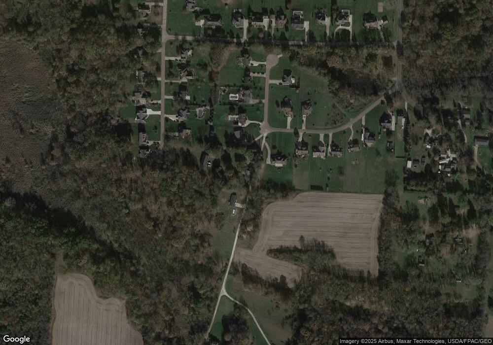
Map
Nearby Homes
- 4698 Manchester Rd
- 4851 Manchester Rd
- 1850 Turkeyfoot Lake Rd
- 4567 Rex Lake Dr
- 0 W Turkeyfoot Lake Rd Unit 5157637
- 4216 State Rd
- 855 Fowler Ave
- 3826 Powell Ave
- 375 Big Bend Cir
- 3809 Powell Ave
- 1283 S Azalea Blvd
- 834 State Mill Rd
- 3719 Bower Ave
- 986 S Azalea Blvd
- 4135 State Park Dr
- 951 S Azalea Blvd
- 1357 S Azalea Blvd
- 4131 State Park Dr
- 3803 Bay Path Dr
- 455 S Van Buren Ave
- 1442 1446 McTweed Ln
- 1396 McTweed Ln
- 4770 McBern Ln
- 4780 McBern Ln
- 1391 McTweed Ln
- 1382 McTweed Ln
- 4790 McBern Ln
- 1381 McTweed Ln
- 1372 McTweed Ln
- 4800 McBern Ln
- 1362 McTweed Ln
- 4805 McBern Ln
- 4213 Wickliffe Dr
- 4225 Wickliffe Dr
- 4810 McBern Ln
- 4237 Wickliffe Dr
- 1352 McTweed Ln
- 4249 Wickliffe Dr
- 1342 McTweed Ln
- 0 Wickliffe Dr Unit 3365681