14420 Extract Rd Mount Union, PA 17066
Estimated Value: $73,614 - $96,000
--
Bed
--
Bath
1,179
Sq Ft
$74/Sq Ft
Est. Value
About This Home
This home is located at 14420 Extract Rd, Mount Union, PA 17066 and is currently estimated at $87,654, approximately $74 per square foot. 14420 Extract Rd is a home located in Huntingdon County with nearby schools including Mount Union Area Senior High School.
Ownership History
Date
Name
Owned For
Owner Type
Purchase Details
Closed on
Jul 21, 2023
Sold by
Loner Rachel B
Bought by
Ferry Michael A and Ferry Zachary B
Current Estimated Value
Purchase Details
Closed on
Apr 7, 2017
Sold by
Donnell Lois A O and Blair Richard D
Bought by
Loner Rachel B
Home Financials for this Owner
Home Financials are based on the most recent Mortgage that was taken out on this home.
Original Mortgage
$48,000
Interest Rate
4.16%
Mortgage Type
Future Advance Clause Open End Mortgage
Purchase Details
Closed on
Apr 20, 2005
Sold by
Blair Rella M
Bought by
Blair Ronald G and Blair Bonnie L
Create a Home Valuation Report for This Property
The Home Valuation Report is an in-depth analysis detailing your home's value as well as a comparison with similar homes in the area
Home Values in the Area
Average Home Value in this Area
Purchase History
| Date | Buyer | Sale Price | Title Company |
|---|---|---|---|
| Ferry Michael A | $90,000 | None Listed On Document | |
| Loner Rachel B | $45,000 | None Available | |
| Blair Ronald G | -- | None Available |
Source: Public Records
Mortgage History
| Date | Status | Borrower | Loan Amount |
|---|---|---|---|
| Previous Owner | Loner Rachel B | $48,000 |
Source: Public Records
Tax History Compared to Growth
Tax History
| Year | Tax Paid | Tax Assessment Tax Assessment Total Assessment is a certain percentage of the fair market value that is determined by local assessors to be the total taxable value of land and additions on the property. | Land | Improvement |
|---|---|---|---|---|
| 2024 | $523 | $7,600 | $2,400 | $5,200 |
| 2023 | $489 | $7,600 | $2,400 | $5,200 |
| 2022 | $486 | $7,600 | $2,400 | $5,200 |
| 2021 | $486 | $7,600 | $2,400 | $5,200 |
| 2020 | $497 | $7,600 | $2,400 | $5,200 |
| 2019 | $458 | $7,600 | $2,400 | $5,200 |
| 2018 | $459 | $7,280 | $2,080 | $5,200 |
| 2017 | $457 | $7,280 | $2,080 | $5,200 |
| 2016 | $437 | $7,280 | $2,080 | $5,200 |
| 2015 | $436 | $7,280 | $2,080 | $5,200 |
| 2014 | -- | $7,280 | $2,080 | $5,200 |
Source: Public Records
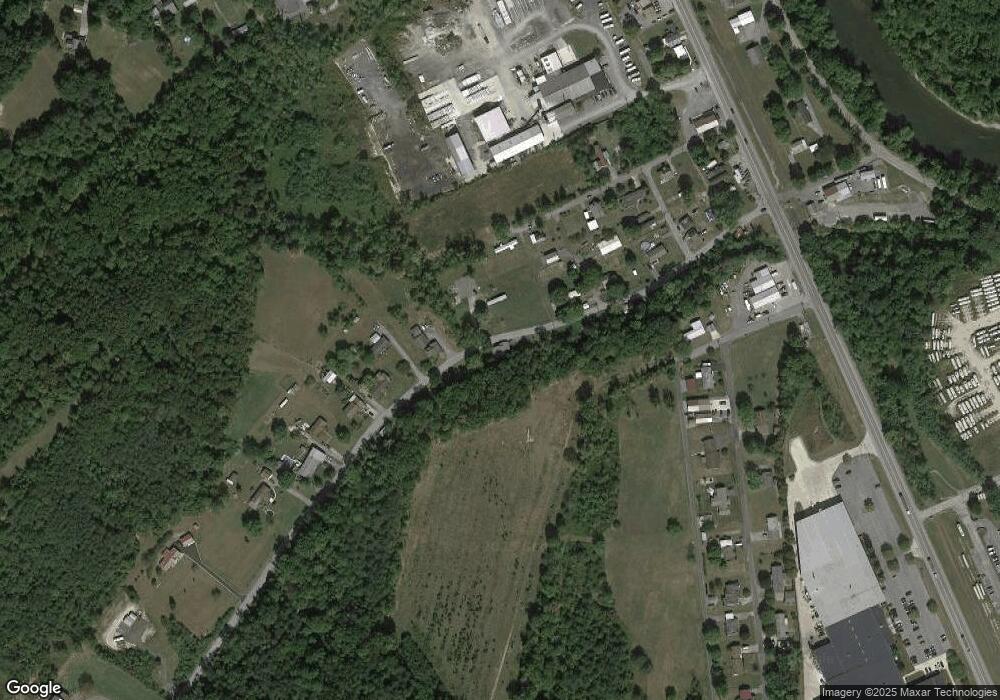
Map
Nearby Homes
- 14210 Croghan Pike
- 14074 2nd St
- 14049 2nd St
- 0 Wrangletown Rd
- 14005 Allen Alley
- 313 Cedar St
- 14235 Christoff Ave
- 104 W Halley St
- 134 W Shirley St
- 66 Front Dr
- 00 Newton Rd
- 240 Train Trail
- 95 Little Greenbriar Rd
- 438 Grant St
- 12916 Honeysuckle Ln
- 0 Croghan Pike
- 17089 Croghan Pike
- 14061 Smith Valley Rd
- 9884 Main St
- Lot William Penn Hwy
- 14423 Extract Rd
- 14440 Extract Rd
- 11530 Green Ave
- 14448 Extract Rd
- 14386 Extract Rd
- 11550 Green Ave
- 14470 Extract Rd
- 14368 Extract Rd
- 11562 Green Ave
- 14362 Carl St
- 0 Rd 1 Box 17776 Unit HU6467222
- 14356 Extract Rd
- 14490 Extract Rd
- 14386 Carl St
- 11576 Green Ave
- 14400 Carl St
- 14388 Croghan Pike
- 14377 Carl St
- 14343 Extract Rd
- 14506 Extract Rd