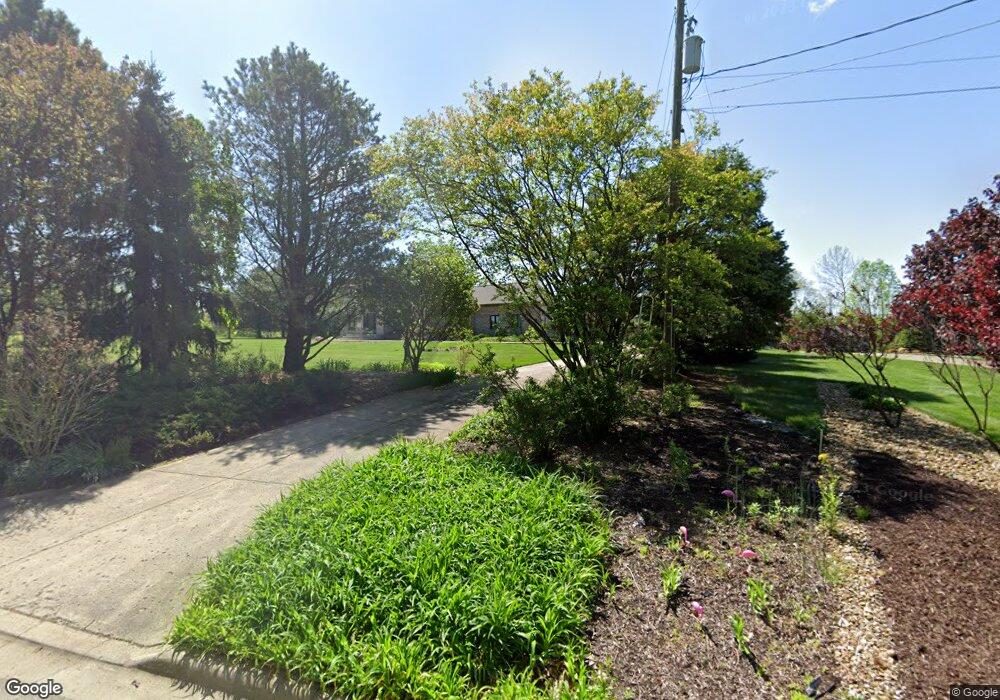
14420 Heritage Ln Mount Vernon, OH 43050
Estimated Value: $480,767 - $595,000
3
Beds
3
Baths
2,652
Sq Ft
$196/Sq Ft
Est. Value
About This Home
This home is located at 14420 Heritage Ln, Mount Vernon, OH 43050 and is currently estimated at $520,942, approximately $196 per square foot. 14420 Heritage Ln is a home located in Knox County with nearby schools including Mount Vernon High School, St. Vincent de Paul School, and Ruscel Montessori Childrens House.
Ownership History
Date
Name
Owned For
Owner Type
Purchase Details
Closed on
Oct 27, 2020
Sold by
Petros Louis G and Petros Sandra B
Bought by
Sandra B Petros T
Current Estimated Value
Purchase Details
Closed on
Jul 25, 2006
Sold by
Petros Louis G and Petros Sandra B
Bought by
Petros Louis G and Petros Sandra B
Purchase Details
Closed on
Oct 26, 1992
Sold by
Curry Edward E and Curry Jonette
Bought by
Petros Louis G and Petros Sandra B
Purchase Details
Closed on
Jul 6, 1992
Sold by
Hall James E
Bought by
Curry Edward E and Curry Jonette
Purchase Details
Closed on
May 19, 1992
Sold by
Hall James E
Bought by
Hall James E
Create a Home Valuation Report for This Property
The Home Valuation Report is an in-depth analysis detailing your home's value as well as a comparison with similar homes in the area
Home Values in the Area
Average Home Value in this Area
Purchase History
| Date | Buyer | Sale Price | Title Company |
|---|---|---|---|
| Sandra B Petros T | -- | None Available | |
| Petros Louis G | -- | None Available | |
| Petros Louis G | -- | None Available | |
| Petros Louis G | $183,700 | -- | |
| Curry Edward E | $15,000 | -- | |
| Hall James E | -- | -- |
Source: Public Records
Tax History Compared to Growth
Tax History
| Year | Tax Paid | Tax Assessment Tax Assessment Total Assessment is a certain percentage of the fair market value that is determined by local assessors to be the total taxable value of land and additions on the property. | Land | Improvement |
|---|---|---|---|---|
| 2024 | $5,339 | $140,260 | $15,120 | $125,140 |
| 2023 | $5,339 | $140,260 | $15,120 | $125,140 |
| 2022 | $4,674 | $112,210 | $12,100 | $100,110 |
| 2021 | $4,674 | $112,210 | $12,100 | $100,110 |
| 2020 | $4,558 | $112,210 | $12,100 | $100,110 |
| 2019 | $5,190 | $118,060 | $13,070 | $104,990 |
| 2018 | $5,190 | $118,060 | $13,070 | $104,990 |
| 2017 | $5,104 | $118,060 | $13,070 | $104,990 |
| 2016 | $4,593 | $109,310 | $12,100 | $97,210 |
| 2015 | $4,612 | $109,310 | $12,100 | $97,210 |
| 2014 | $4,634 | $109,310 | $12,100 | $97,210 |
| 2013 | $4,876 | $109,440 | $11,380 | $98,060 |
Source: Public Records
Map
Nearby Homes
- 13219 Old Mansfield Rd
- 14835 Indian Hills Rd
- 0 Indian Hills Rd
- 14133 Beckley Rd
- 14021 Old Mansfield Rd
- 33 Longitude Dr
- 12567 Upper Fredericktown Rd
- 200 Mansfield Rd
- 13683 Upper Fredericktown Rd
- 107 Northridge Dr
- 109 Northridge Dr
- 13919 Upper Fredericktown Rd
- 0 Crooked St
- 0 Crooked Street Land Split 2
- 800 N Sandusky St
- 717 N
- 9 Rose Ave
- 6 Miller Ave
- 464 Wooster Rd
- 14364 Heritage Ln
- 13357 Old Mansfield Rd
- 14379 Heritage Ln
- 13317 Old Mansfield Rd
- 13399 Old Mansfield Rd
- 14342 Heritage Ln
- 13279 Old Mansfield Rd
- 13445 Old Mansfield Rd
- 14319 Heritage Ln
- 14280 Heritage Ln
- 13376 Old Mansfield Rd
- 14259 Heritage Ln
- 13232 Old Mansfield Rd
- 13460 Legacy Ct
- 14240 Heritage Ln
- 13521 Old Mansfield Rd
- 14421 Eldon Dr
- 13220 Old Mansfield Rd
- 14180 Heritage Ln
- 14179 Heritage Ln
