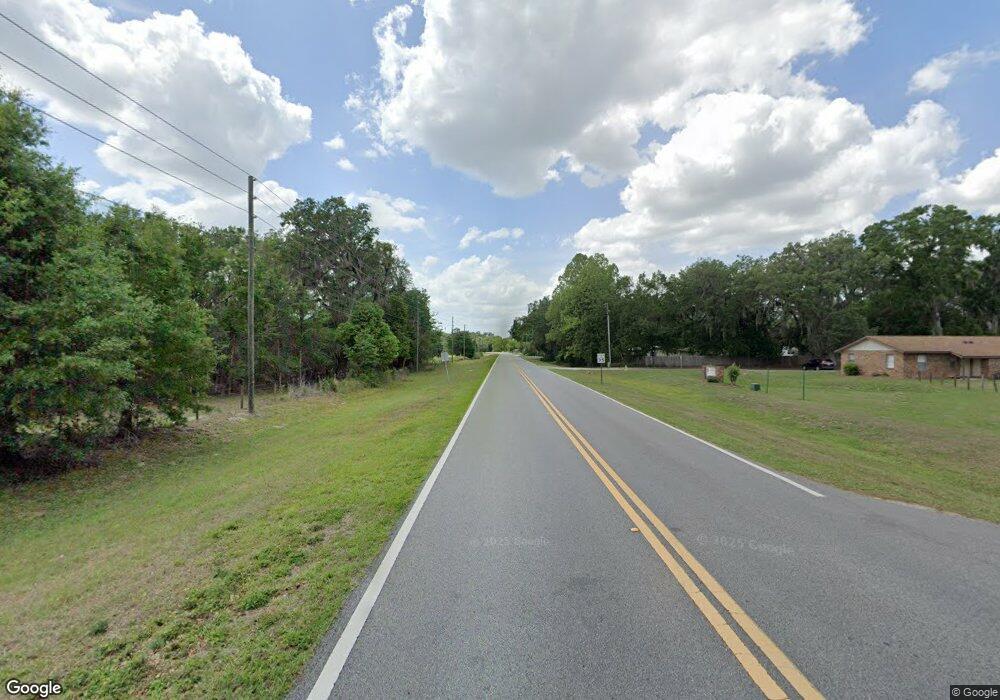
14425 Cr 737 Webster, FL 33597
Tarrytown NeighborhoodEstimated Value: $301,000 - $346,000
--
Bed
--
Bath
1,176
Sq Ft
$278/Sq Ft
Est. Value
About This Home
This home is located at 14425 Cr 737, Webster, FL 33597 and is currently estimated at $327,095, approximately $278 per square foot. 14425 Cr 737 is a home located in Sumter County with nearby schools including Webster Elementary School, South Sumter Middle School, and South Sumter High School.
Ownership History
Date
Name
Owned For
Owner Type
Purchase Details
Closed on
Jan 31, 2025
Sold by
Armstrong Michael
Bought by
Chesner Holdings Llc
Current Estimated Value
Home Financials for this Owner
Home Financials are based on the most recent Mortgage that was taken out on this home.
Original Mortgage
$310,000
Interest Rate
6.85%
Mortgage Type
Construction
Purchase Details
Closed on
Aug 25, 2010
Sold by
Rowland Walter
Bought by
Armstrong Donald D and Armstrong Carol Lee
Create a Home Valuation Report for This Property
The Home Valuation Report is an in-depth analysis detailing your home's value as well as a comparison with similar homes in the area
Home Values in the Area
Average Home Value in this Area
Purchase History
| Date | Buyer | Sale Price | Title Company |
|---|---|---|---|
| Chesner Holdings Llc | $325,000 | Frontier Title Group | |
| Chesner Holdings Llc | $325,000 | Frontier Title Group | |
| Armstrong Donald D | -- | Attorney |
Source: Public Records
Mortgage History
| Date | Status | Borrower | Loan Amount |
|---|---|---|---|
| Closed | Chesner Holdings Llc | $310,000 |
Source: Public Records
Tax History Compared to Growth
Tax History
| Year | Tax Paid | Tax Assessment Tax Assessment Total Assessment is a certain percentage of the fair market value that is determined by local assessors to be the total taxable value of land and additions on the property. | Land | Improvement |
|---|---|---|---|---|
| 2024 | $789 | $104,950 | -- | -- |
| 2023 | $789 | $101,930 | $0 | $0 |
| 2022 | $890 | $112,630 | $0 | $0 |
| 2021 | $939 | $109,390 | $5,550 | $103,840 |
| 2020 | $955 | $107,900 | $5,550 | $102,350 |
| 2019 | $948 | $105,500 | $5,550 | $99,950 |
| 2018 | $858 | $103,560 | $5,550 | $98,010 |
| 2017 | $470 | $59,640 | $0 | $0 |
| 2016 | $468 | $58,430 | $8,020 | $50,410 |
Source: Public Records
Map
Nearby Homes
- 13929 Sr 471
- 2083 State Route 50
- 1814 Cr 739
- 1959 Sr 50
- 3070 State Rd 50
- 14891 Cr 757
- 13343 Cr 727
- 14890 Cr 757
- 2685 Cr 776
- 0 Coldrock Dr Unit A11851876
- 12523 Cr 721
- 00 Cr-755
- 0 Cr 755 Unit MFRW7869276
- TBD Cr 772b
- 0 Cr 772c Unit MFRO6342233
- 12148 Cr 774a
- 12148 Co Rd 774a
- 0 C R 772b Unit MFRO6282807
- 12112 Cr 727
- 12545 Cr 721
