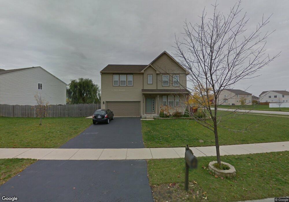
14426 Independence Dr Plainfield, IL 60544
West Plainfield NeighborhoodEstimated Value: $456,000 - $473,000
About This Home
This home is located at 14426 Independence Dr, Plainfield, IL 60544 and is currently estimated at $465,068, approximately $186 per square foot. 14426 Independence Dr is a home located in Will County with nearby schools including Lincoln Elementary School, Richard Ira Jones Middle School, and Plainfield North High School.
Ownership History
We collect this data history from publicly available records. To have your information removed, we recommend requesting removal directly through your county’s website.
Purchase Details
Purchase Details
Home Financials for this Owner
Home Financials are based on the most recent Mortgage that was taken out on this home.Home Values in the Area
Average Home Value in this Area
Purchase History
We collect this data history from publicly available records. To have your information removed, we recommend requesting removal directly through your county’s website.
| Date | Buyer | Sale Price | Title Company |
|---|---|---|---|
| -- | None Listed On Document | ||
| $258,000 | First American Title Ins |
Mortgage History
We collect this data history from publicly available records. To have your information removed, we recommend requesting removal directly through your county’s website.
| Date | Status | Borrower | Loan Amount |
|---|---|---|---|
| Previous Owner | $245,122 |
Tax History
We collect this data history from publicly available records. To have your information removed, we recommend requesting removal directly through your county’s website.
| Year | Tax Paid | Tax Assessment Tax Assessment Total Assessment is a certain percentage of the fair market value that is determined by local assessors to be the total taxable value of land and additions on the property. | Land | Improvement |
|---|---|---|---|---|
| 2024 | $8,974 | $125,041 | $30,220 | $94,821 |
| 2023 | $8,629 | $112,934 | $27,294 | $85,640 |
| 2022 | $7,746 | $101,430 | $24,514 | $76,916 |
| 2021 | $7,310 | $94,794 | $22,910 | $71,884 |
| 2020 | $7,203 | $92,105 | $22,260 | $69,845 |
| 2019 | $6,944 | $87,761 | $21,210 | $66,551 |
| 2018 | $7,090 | $87,792 | $19,730 | $68,062 |
| 2017 | $6,866 | $83,428 | $18,749 | $64,679 |
| 2016 | $6,692 | $79,569 | $17,882 | $61,687 |
| 2015 | $6,241 | $74,537 | $16,751 | $57,786 |
| 2014 | $6,241 | $71,906 | $16,160 | $55,746 |
| 2013 | $6,241 | $71,906 | $16,160 | $55,746 |
Map
- 25102 Presidential Ave
- 14515 Independence Dr
- 25301 Presidential Ave
- 25209 Scott Dr Unit 6
- 14610 General Dr
- 24839 Thornberry Dr
- 14335 S Charlton Place
- 14321 S Charlton Place
- 25124 Constitution Ct
- 14731 Colonial Pkwy
- 14561 S Greenbriar Dr
- 25538 W Alabaster Cir
- 14565 S Greenbriar Dr
- 25507 W Emory Ln
- 25506 W Emory Ln
- 14516 Patriot Square Dr W
- 25500 W Sandalwood Ln
- 25512 W Alabaster Cir
- 25504 W Sandalwood Ln
- 25510 W Sandalwood Ln
- 14430 Independence Dr
- 14409 Meadow Ln
- 14432 Independence Dr
- 14415 Meadow Ln
- 14423 Independence Dr
- 14425 Independence Dr
- 14422 Independence Dr
- 14427 Independence Dr
- 14434 Independence Dr Unit 4
- 25100 Declaration Dr
- 14429 Independence Dr Unit 4
- 14421 Meadow Ln
- 14336 Meadow Ln
- 25028 Brigade Ln Unit 4
- 14323 Meadow Ln
- 14436 Independence Dr
- 14420 Independence Dr
- 14306 General Ct
- 14427 Meadow Ln
- 14330 Meadow Ln
Ask me questions while you tour the home.