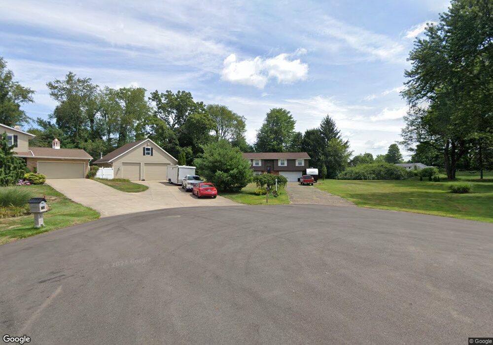
1443 Plateau St NE Uniontown, OH 44685
Estimated Value: $224,000 - $263,000
3
Beds
2
Baths
1,152
Sq Ft
$209/Sq Ft
Est. Value
About This Home
This home is located at 1443 Plateau St NE, Uniontown, OH 44685 and is currently estimated at $240,437, approximately $208 per square foot. 1443 Plateau St NE is a home located in Stark County with nearby schools including Lake Middle/High School and Lake Center Christian School.
Ownership History
Date
Name
Owned For
Owner Type
Purchase Details
Closed on
Sep 11, 1996
Sold by
Lincoln James H
Bought by
Schultz Edward C and Schultz Josephine
Current Estimated Value
Home Financials for this Owner
Home Financials are based on the most recent Mortgage that was taken out on this home.
Original Mortgage
$119,480
Outstanding Balance
$10,341
Interest Rate
8.29%
Mortgage Type
VA
Estimated Equity
$230,096
Create a Home Valuation Report for This Property
The Home Valuation Report is an in-depth analysis detailing your home's value as well as a comparison with similar homes in the area
Home Values in the Area
Average Home Value in this Area
Purchase History
| Date | Buyer | Sale Price | Title Company |
|---|---|---|---|
| Schultz Edward C | $116,000 | -- |
Source: Public Records
Mortgage History
| Date | Status | Borrower | Loan Amount |
|---|---|---|---|
| Open | Schultz Edward C | $119,480 |
Source: Public Records
Tax History Compared to Growth
Tax History
| Year | Tax Paid | Tax Assessment Tax Assessment Total Assessment is a certain percentage of the fair market value that is determined by local assessors to be the total taxable value of land and additions on the property. | Land | Improvement |
|---|---|---|---|---|
| 2025 | -- | $55,660 | $21,600 | $34,060 |
| 2024 | -- | $55,660 | $21,600 | $34,060 |
| 2023 | $2,387 | $50,090 | $13,480 | $36,610 |
| 2022 | $2,363 | $49,430 | $13,480 | $35,950 |
| 2021 | $2,390 | $49,430 | $13,480 | $35,950 |
| 2020 | $2,369 | $43,890 | $11,620 | $32,270 |
| 2019 | $2,349 | $43,890 | $11,620 | $32,270 |
| 2018 | $2,352 | $43,890 | $11,620 | $32,270 |
| 2017 | $2,186 | $37,870 | $11,620 | $26,250 |
| 2016 | $2,190 | $37,870 | $11,620 | $26,250 |
| 2015 | $2,357 | $40,780 | $14,530 | $26,250 |
| 2014 | $39 | $36,580 | $13,060 | $23,520 |
| 2013 | $1,121 | $40,220 | $13,060 | $27,160 |
Source: Public Records
Map
Nearby Homes
- 1037 Canyon St NE
- 11121 Geib Ave NE
- 2084 Hazel St NE
- 425 Tonawanda Trail SW
- 1180 Tessa Trail Unit 1180
- 747 Grandview Cir
- 1975 Eloise Cir NE
- 11900 Geib Ave NE
- 778 Fair Vista Cir SW
- 786 Fair Vista Cir SW
- 550 Woodlands Glen Ave
- 531 Gentlebrook Blvd SW
- 225 Seneca Trail SW
- 525 Gentlebrook Blvd SW
- 510 Meadow Cir SW Unit 11
- Unit 9 Meadow Trail SW Unit 9
- 12055 King Church Ave NW
- 9790 Smithdale Ave NE
- 9766 Smithdale Ave NE
- 330 Belle Ave SW
- 1449 Plateau St NE
- 1440 Plateau St NE
- 11067 Sagebrush Ave NE
- 11037 Oasis Ave NE
- 11075 Sagebrush Ave NE
- 11061 Sagebrush Ave NE
- 1444 Plateau St NE
- 11083 Sagebrush Ave NE
- 1463 Plateau St NE
- 11061 Oasis Ave NE
- 11055 Sagebrush Ave NE
- 11015 Oasis Ave NE
- 11091 Sagebrush Ave NE
- 11049 Sagebrush Ave NE
- 11099 Sagebrush Ave NE
- 11066 Sagebrush Ave NE
- 11074 Sagebrush Ave NE
- 1450 Plateau St NE
- 1456 Plateau St NE
- 11056 Oasis Ave NE