Estimated Value: $270,000 - $418,000
--
Bed
--
Bath
2,937
Sq Ft
$117/Sq Ft
Est. Value
About This Home
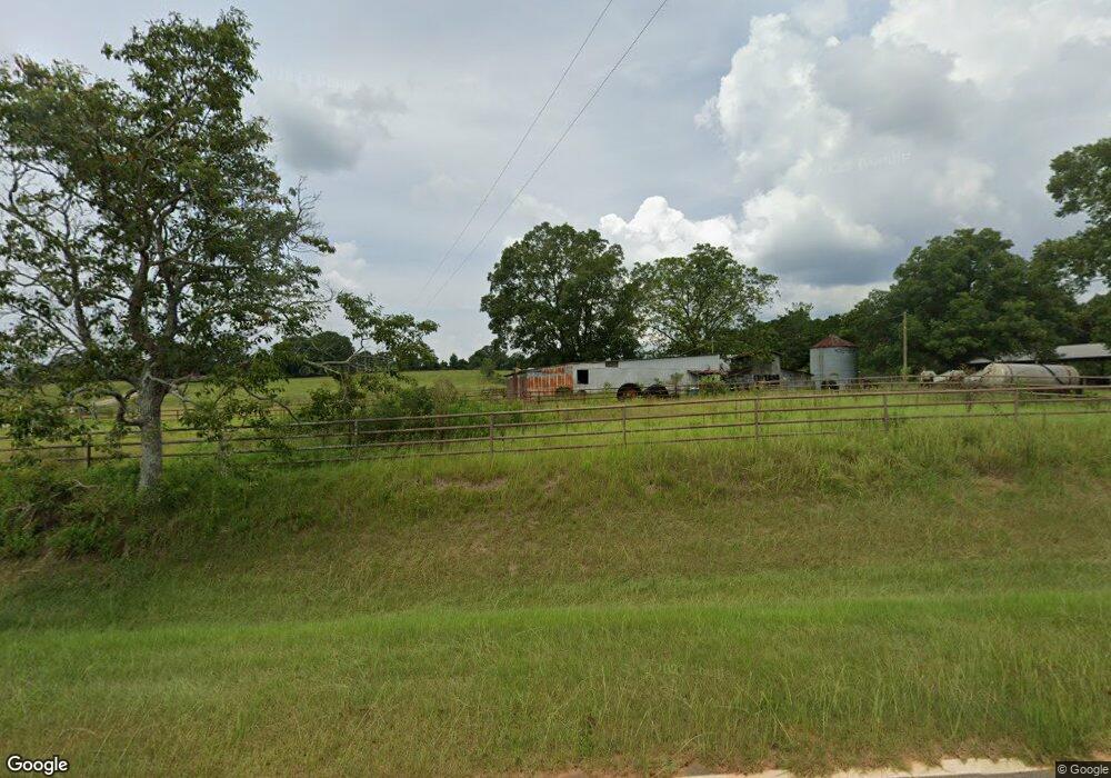
This home is located at 1443 Tower Point Rd, Mauk, GA 31058 and is currently estimated at $344,000, approximately $117 per square foot. 1443 Tower Point Rd is a home with nearby schools including L.K. Moss Elementary School and Marion County Middle/High School.
Ownership History
Date
Name
Owned For
Owner Type
Purchase Details
Closed on
Jun 3, 2025
Sold by
Isom Janice
Bought by
Welch Joanie and Moxley Jinger
Current Estimated Value
Purchase Details
Closed on
Feb 27, 2025
Sold by
Frost Jenna
Bought by
Isom Janice
Purchase Details
Closed on
Mar 18, 2024
Sold by
Isom Jimmy Wayne
Bought by
Frost Jenna and Isom Jimmy
Purchase Details
Closed on
Mar 4, 2015
Sold by
Isom Jimmy Wayne
Bought by
Isom Jimmy Wayne
Purchase Details
Closed on
Jul 6, 2010
Sold by
Isom Jimmy
Bought by
Isom Joanie A
Home Financials for this Owner
Home Financials are based on the most recent Mortgage that was taken out on this home.
Original Mortgage
$31,762
Interest Rate
4.73%
Mortgage Type
Future Advance Clause Open End Mortgage
Purchase Details
Closed on
Nov 6, 1972
Bought by
Isom Jimmy Wayne
Create a Home Valuation Report for This Property
The Home Valuation Report is an in-depth analysis detailing your home's value as well as a comparison with similar homes in the area
Home Values in the Area
Average Home Value in this Area
Purchase History
| Date | Buyer | Sale Price | Title Company |
|---|---|---|---|
| Welch Joanie | -- | -- | |
| Isom Janice | -- | -- | |
| Frost Jenna | $107,262 | -- | |
| Isom Jimmy Wayne | -- | -- | |
| Isom Joanie A | $35,622 | -- | |
| Isom Jimmy Wayne | -- | -- |
Source: Public Records
Mortgage History
| Date | Status | Borrower | Loan Amount |
|---|---|---|---|
| Previous Owner | Isom Joanie A | $31,762 |
Source: Public Records
Tax History Compared to Growth
Tax History
| Year | Tax Paid | Tax Assessment Tax Assessment Total Assessment is a certain percentage of the fair market value that is determined by local assessors to be the total taxable value of land and additions on the property. | Land | Improvement |
|---|---|---|---|---|
| 2024 | $1,914 | $93,619 | $21,046 | $72,573 |
| 2023 | $1,947 | $93,619 | $21,046 | $72,573 |
| 2022 | $1,892 | $71,788 | $1,726 | $70,062 |
| 2021 | $1,874 | $91,108 | $21,046 | $70,062 |
| 2020 | $1,880 | $91,108 | $21,046 | $70,062 |
| 2019 | $1,869 | $91,108 | $21,046 | $70,062 |
| 2018 | $1,864 | $91,108 | $21,046 | $70,062 |
| 2017 | $1,858 | $91,108 | $21,046 | $70,062 |
| 2016 | $1,837 | $99,384 | $29,322 | $70,062 |
| 2015 | -- | $99,384 | $29,322 | $70,062 |
| 2014 | -- | $86,466 | $29,322 | $57,145 |
| 2013 | -- | $86,466 | $29,321 | $57,144 |
Source: Public Records
Map
Nearby Homes
- 0 Fuller Rd Unit 22846458
- 5264 Ga Highway 41 N
- 349 New Hope Rd
- 245 Dog Track Rd
- 0 Pineknot Rd
- 1792 Bethlehem Rd
- 0 Palmer Cemetery Rd Unit 10588100
- 1009 Walter Wells Rd
- 0 Georgia 240
- 221 Flamingo Dr
- 111 Sunnyside Dr
- SR-240 Connector
- 65 Saddle Trail
- 2450 Fort Perry Rd
- 62 Brannon Montgomery Rd
- 0 Poll Mill Rd
- 3599 Ga Highway 127
- 0 Brannon Montgomery Rd Unit 10453495
- 0 Brannon Montgomery Rd Unit 25510431
- 12 AC Liberty Rd
- 1566 Tower Point Rd
- 107 MacK Williams Rd
- 930 Ga Highway 127
- 894 Ga Highway 127
- 992 Ga Highway 127
- 1398 Tower Point Rd
- 50 Spring Hill Rd
- 28 Spring Hill Rd
- 601 Ga Highway 127
- 624 Fuller Rd
- 614 Fuller Rd
- 172 Spring Hill Rd
- 530 Fuller Rd
- 596 Fuller Rd
- 485 Ga Highway 127
- 485 Ga Hwy 127
- 445 Fuller Rd
- 522 Fuller Rd
- 452 Fuller Rd
- 424 MacK Williams Rd