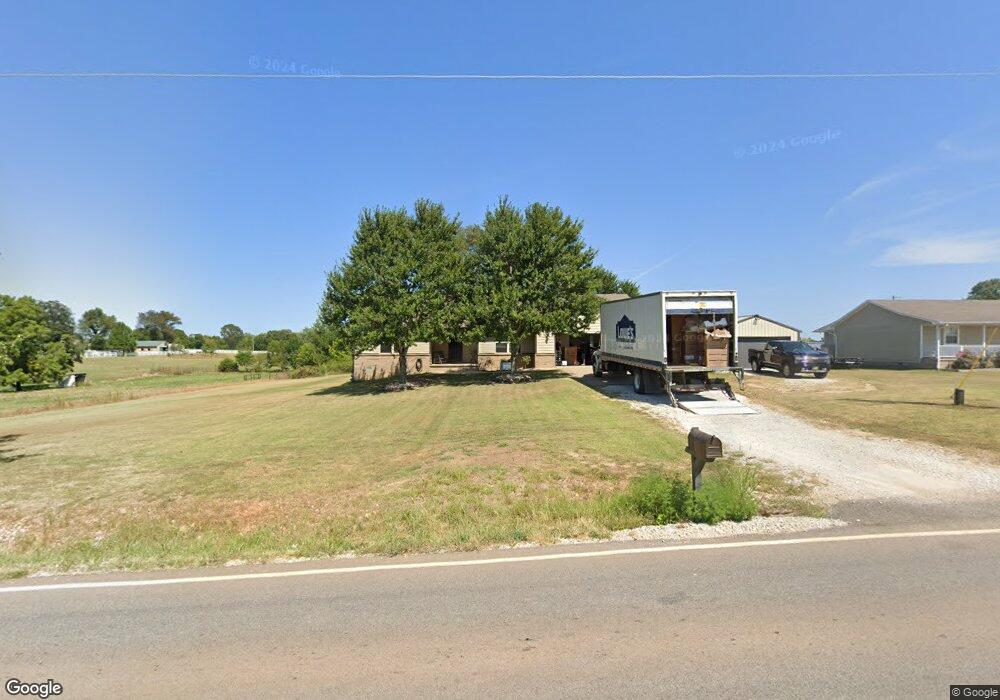
14430 It Ll Do Rd Pea Ridge, AR 72751
Estimated Value: $240,000
Studio
2
Baths
1,684
Sq Ft
$143/Sq Ft
Est. Value
About This Home
This home is located at 14430 It Ll Do Rd, Pea Ridge, AR 72751 and is currently priced at $240,000, approximately $142 per square foot. 14430 It Ll Do Rd is a home located in Benton County with nearby schools including Pea Ridge Primary School, Pea Ridge Intermediate School, and Pea Ridge Junior High School.
Ownership History
Date
Name
Owned For
Owner Type
Purchase Details
Closed on
Jul 8, 2005
Sold by
Hagendorn Roger F
Bought by
Lippincott Kevin E and Lippincott Susan M
Current Estimated Value
Purchase Details
Closed on
Nov 12, 2004
Bought by
Gilbertson
Purchase Details
Closed on
May 12, 2004
Bought by
Copher
Purchase Details
Closed on
Apr 30, 2004
Bought by
Copher
Purchase Details
Closed on
Apr 4, 2002
Bought by
Hagedorn
Purchase Details
Closed on
May 12, 1999
Bought by
Walser
Purchase Details
Closed on
Feb 1, 1995
Bought by
Turner
Create a Home Valuation Report for This Property
The Home Valuation Report is an in-depth analysis detailing your home's value as well as a comparison with similar homes in the area
Home Values in the Area
Average Home Value in this Area
Purchase History
| Date | Buyer | Sale Price | Title Company |
|---|---|---|---|
| Lippincott Kevin E | $125,000 | None Available | |
| Gilbertson | -- | -- | |
| Copher | $290,000 | -- | |
| Copher | $290,000 | -- | |
| Cherie | -- | -- | |
| Hagedorn | $95,000 | -- | |
| Walser | $83,000 | -- | |
| Turner | -- | -- |
Source: Public Records
Tax History
| Year | Tax Paid | Tax Assessment Tax Assessment Total Assessment is a certain percentage of the fair market value that is determined by local assessors to be the total taxable value of land and additions on the property. | Land | Improvement |
|---|---|---|---|---|
| 2020 | $1,346 | $30,850 | $1,500 | $29,350 |
| 2019 | -- | $31,440 | $1,500 | $29,940 |
| 2018 | -- | $31,440 | $1,500 | $29,940 |
| 2017 | -- | $31,440 | $1,500 | $29,940 |
| 2016 | -- | $27,010 | $1,500 | $25,510 |
| 2015 | -- | $23,830 | $3,200 | $20,630 |
| 2014 | -- | $23,830 | $3,200 | $20,630 |
Source: Public Records
Map
Nearby Homes
- 14541 It'Ll Do Rd
- 2103 Slack St
- 102 Manfield Ave
- 14593 It'Ll Do Rd
- 2402 England Ln
- 1910 Gaines St
- 0 Slack & Crawford Streets Unit 1303599
- 1911 Gaines St
- 1710 Higgins St
- 1904 Crump St
- 205 Ross Salvage Rd
- 10501 Johnson Hollow Rd
- 1911 Crump St
- 1933 & 1911 Hazelton Rd
- 1407 Spruce St
- 2010 Greenwood Cove
- 2230 Hunter Dr
- 637 Lewis St
- 1806 Gaines St
- 1805 Gaines St
- 14430 It'Ll Do Rd
- 14422 It Ll Do Rd
- 0 Hwy 72 & It'Ll Do Rd
- 2102 Slack St
- 0 It'Ll Do Rd Slack St Unit 640920
- 0 It'Ll Do Rd Slack St Unit 653771
- 0 It'Ll Do Rd Slack St Unit 710090
- 0 It'Ll Do Rd Slack St Unit 1092288
- 0 It'Ll Do and Hwy 94 Unit 1073551
- 14449 It Ll Do Rd
- 0 W Dove Rd & Hwy 72
- 11683 It'Ll Do Rd
- 202 Adcock Ln
- 14487 It Ll Do Rd
- 1950 Slack St
- 1938 Slack St
- 2305 Carper Ln
- 2307 Carper Ln
- 1910 Slack St
- 14573 It Ll Do Rd
Your Personal Tour Guide
Ask me questions while you tour the home.